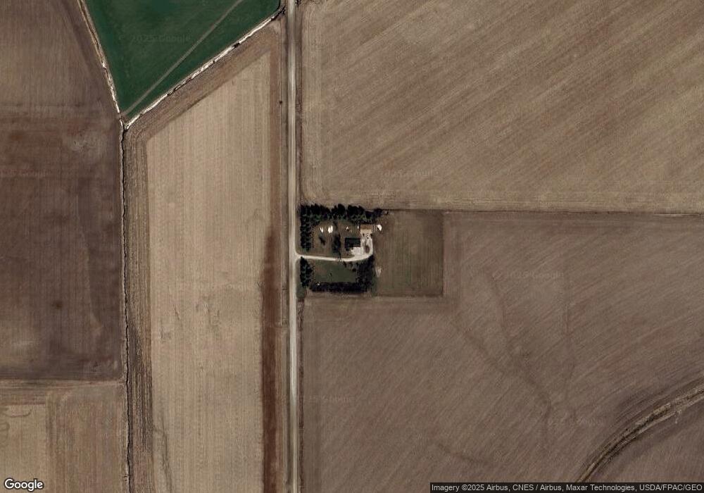
1050 Falcon Ave Manning, IA 51455
Estimated Value: $241,298 - $331,000
--
Bed
1
Bath
1,497
Sq Ft
$184/Sq Ft
Est. Value
About This Home
This home is located at 1050 Falcon Ave, Manning, IA 51455 and is currently estimated at $275,575, approximately $184 per square foot. 1050 Falcon Ave is a home located in Audubon County with nearby schools including Audubon Elementary School and Audubon Middle/High School.
Ownership History
Date
Name
Owned For
Owner Type
Purchase Details
Closed on
Jul 21, 2021
Sold by
Sporrer Eileen M
Bought by
Irlmeier Samuel T and Irlmeier Katie
Current Estimated Value
Home Financials for this Owner
Home Financials are based on the most recent Mortgage that was taken out on this home.
Original Mortgage
$204,250
Outstanding Balance
$185,325
Interest Rate
2.9%
Mortgage Type
New Conventional
Estimated Equity
$90,250
Create a Home Valuation Report for This Property
The Home Valuation Report is an in-depth analysis detailing your home's value as well as a comparison with similar homes in the area
Home Values in the Area
Average Home Value in this Area
Purchase History
| Date | Buyer | Sale Price | Title Company |
|---|---|---|---|
| Irlmeier Samuel T | $215,000 | None Available |
Source: Public Records
Mortgage History
| Date | Status | Borrower | Loan Amount |
|---|---|---|---|
| Open | Irlmeier Samuel T | $204,250 |
Source: Public Records
Tax History Compared to Growth
Tax History
| Year | Tax Paid | Tax Assessment Tax Assessment Total Assessment is a certain percentage of the fair market value that is determined by local assessors to be the total taxable value of land and additions on the property. | Land | Improvement |
|---|---|---|---|---|
| 2025 | $1,596 | $155,100 | $31,360 | $123,740 |
| 2024 | $1,596 | $128,290 | $25,680 | $102,610 |
| 2023 | $1,508 | $128,290 | $25,680 | $102,610 |
| 2022 | $1,328 | $92,480 | $20,680 | $71,800 |
| 2021 | $1,328 | $86,000 | $20,680 | $65,320 |
| 2020 | $946 | $66,170 | $6,520 | $59,650 |
| 2019 | $828 | $62,200 | $0 | $0 |
| 2018 | $816 | $62,200 | $0 | $0 |
| 2017 | $764 | $57,480 | $0 | $0 |
| 2016 | $774 | $61,670 | $0 | $0 |
| 2015 | $774 | $64,220 | $0 | $0 |
| 2014 | $774 | $64,220 | $0 | $0 |
Source: Public Records
Map
Nearby Homes