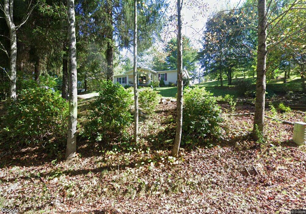
1050 Fireside Dr Laurel Fork, VA 24352
Laurel Fork NeighborhoodEstimated Value: $161,000 - $280,000
3
Beds
2
Baths
1,376
Sq Ft
$141/Sq Ft
Est. Value
About This Home
This home is located at 1050 Fireside Dr, Laurel Fork, VA 24352 and is currently estimated at $194,045, approximately $141 per square foot. 1050 Fireside Dr is a home located in Carroll County with nearby schools including Gladesboro Elementary School, Carroll County Middle School, and Carroll County High School.
Ownership History
Date
Name
Owned For
Owner Type
Purchase Details
Closed on
Jul 25, 2024
Sold by
Turman Charlie James and Turman Sylvia M
Bought by
Turman Charlie James
Current Estimated Value
Purchase Details
Closed on
Dec 3, 2009
Sold by
Ayers Wanda
Bought by
Turman Sylvia
Create a Home Valuation Report for This Property
The Home Valuation Report is an in-depth analysis detailing your home's value as well as a comparison with similar homes in the area
Home Values in the Area
Average Home Value in this Area
Purchase History
| Date | Buyer | Sale Price | Title Company |
|---|---|---|---|
| Turman Charlie James | -- | None Listed On Document | |
| Turman Sylvia | -- | None Available |
Source: Public Records
Tax History
| Year | Tax Paid | Tax Assessment Tax Assessment Total Assessment is a certain percentage of the fair market value that is determined by local assessors to be the total taxable value of land and additions on the property. | Land | Improvement |
|---|---|---|---|---|
| 2025 | $413 | $135,300 | $20,100 | $115,200 |
| 2024 | $505 | $85,600 | $17,100 | $68,500 |
| 2023 | $505 | $85,600 | $17,100 | $68,500 |
| 2022 | $548 | $85,600 | $17,100 | $68,500 |
| 2021 | $548 | $85,600 | $17,100 | $68,500 |
| 2020 | $496 | $68,000 | $14,100 | $53,900 |
| 2019 | $473 | $68,000 | $14,100 | $53,900 |
| 2018 | $473 | $68,000 | $14,100 | $53,900 |
| 2017 | $473 | $68,000 | $14,100 | $53,900 |
| 2016 | $506 | $74,400 | $14,100 | $60,300 |
| 2015 | -- | $74,800 | $14,500 | $60,300 |
| 2014 | -- | $74,800 | $14,500 | $60,300 |
Source: Public Records
Map
Nearby Homes
- TBD Old Danville Pike
- 13886 Danville Pike
- 947 Bellspur Rd
- 13256 Danville Pike
- 302 Cardinal Cir
- 688 Gibson Knob Rd
- TBD Gibson Knob Rd
- 437 Shelor Rd SW
- TBD Dugspur Rd
- TBD Blue Lake Ln
- 1205 Stone Mountain Rd
- TBD Fairlake Ln
- 19 Lone Oak Ct
- TBD Lone Oak Ct
- TBD Lake Bend Trail
- 0 Shelor Rd SW
- 0 Shelor Rd Unit 104441
- 0 Shelor Rd Unit 25348782
- 0 Shelor Rd Unit 145679
- 291 Laurel Fork Rd
- 1138 Fireside Dr
- 992 Fireside Dr
- 1119 Fireside Dr
- 924 Fireside Dr
- 1255 Fireside Dr
- 918 Fireside Dr
- 863 Fireside Dr
- 915 Fireside Dr
- 1175 Fireside Dr
- 836 Fireside Dr
- 991 Trillium Rd
- 1350 Fireside Dr
- 854 Trillium Rd
- 854 Trillium Rd
- 100 Rich Hill Rd
- 689 Fireside Dr
- 548 Fireside Dr
- 537 Fireside Dr
- 0 Fireside Dr Unit 98661
- 0 Fireside Dr Unit 98659
Your Personal Tour Guide
Ask me questions while you tour the home.