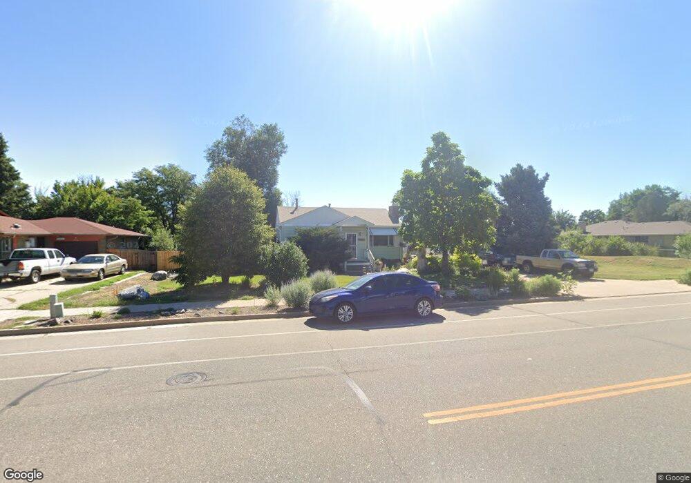
1050 Laredo St Aurora, CO 80011
Laredo Highline NeighborhoodEstimated Value: $404,630 - $422,000
2
Beds
2
Baths
1,864
Sq Ft
$222/Sq Ft
Est. Value
About This Home
This home is located at 1050 Laredo St, Aurora, CO 80011 and is currently estimated at $414,158, approximately $222 per square foot. 1050 Laredo St is a home located in Arapahoe County with nearby schools including Laredo Elementary School, East Middle School, and Hinkley High School.
Ownership History
Date
Name
Owned For
Owner Type
Purchase Details
Closed on
May 6, 2008
Sold by
Federal National Mortgage Association
Bought by
Doss Brian A and Schulz Danielle A
Current Estimated Value
Home Financials for this Owner
Home Financials are based on the most recent Mortgage that was taken out on this home.
Original Mortgage
$127,006
Outstanding Balance
$79,270
Interest Rate
5.86%
Mortgage Type
FHA
Estimated Equity
$334,888
Purchase Details
Closed on
Dec 6, 2000
Sold by
Lewis Cheryl Ann
Bought by
Smyser Bruce D
Create a Home Valuation Report for This Property
The Home Valuation Report is an in-depth analysis detailing your home's value as well as a comparison with similar homes in the area
Home Values in the Area
Average Home Value in this Area
Purchase History
| Date | Buyer | Sale Price | Title Company |
|---|---|---|---|
| Doss Brian A | $129,000 | None Available | |
| Smyser Bruce D | -- | -- |
Source: Public Records
Mortgage History
| Date | Status | Borrower | Loan Amount |
|---|---|---|---|
| Open | Doss Brian A | $127,006 |
Source: Public Records
Tax History
| Year | Tax Paid | Tax Assessment Tax Assessment Total Assessment is a certain percentage of the fair market value that is determined by local assessors to be the total taxable value of land and additions on the property. | Land | Improvement |
|---|---|---|---|---|
| 2025 | $2,555 | $24,156 | -- | -- |
| 2024 | $2,478 | $26,659 | -- | -- |
| 2023 | $2,478 | $26,659 | $0 | $0 |
| 2022 | $2,356 | $23,464 | $0 | $0 |
| 2021 | $2,432 | $23,464 | $0 | $0 |
| 2020 | $2,510 | $24,110 | $0 | $0 |
| 2019 | $2,497 | $24,110 | $0 | $0 |
| 2018 | $2,274 | $21,506 | $0 | $0 |
| 2017 | $1,978 | $21,506 | $0 | $0 |
| 2016 | $1,342 | $14,280 | $0 | $0 |
| 2015 | $1,295 | $14,280 | $0 | $0 |
| 2014 | $1,071 | $11,375 | $0 | $0 |
| 2013 | -- | $11,410 | $0 | $0 |
Source: Public Records
Map
Nearby Homes
- 16010 E 11th Ave
- 1074 N Joplin St Unit 5
- 1063 N Joplin St Unit 2
- 1053 N Joplin St Unit 1
- 752 Lewiston St
- 1313 Laredo St
- 745 Mobile St
- 808 Idalia St
- 15850 E 8th Cir
- 757 Norfolk Way
- 803 Nucla St
- 1168 Nucla St
- 15863 E 7th Ave
- 666 Kittredge St
- 1447 Norfolk St
- 15703 E 13th Place Unit 1A
- 15771 E 13th Place Unit C34
- 1064 Chambers Ct Unit 108
- 15814 E Colfax Ave Unit 21
- 15950 E 6th Ave
- 1060 Laredo St
- 1020 Laredo St
- 1041 Lewiston St
- 1031 Lewiston St
- 1051 Lewiston St
- 1021 Lewiston St
- 1070 Laredo St
- 1061 Lewiston St
- 1049 Laredo St
- 1029 Laredo St
- 1000 Laredo St
- 1071 Lewiston St
- 1069 Laredo St
- 1005 Laredo St
- 1011 Lewiston St
- 1080 Laredo St
- 1079 Laredo St
- 16060 E 10th Dr
- 1081 Lewiston St
- 1042 Lewiston St
Your Personal Tour Guide
Ask me questions while you tour the home.