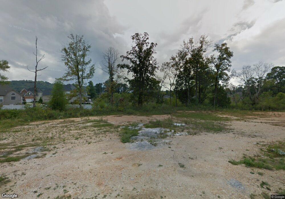
1050 Manassas Dr Unit 292 Hixson, TN 37343
Estimated Value: $475,468 - $556,000
4
Beds
3
Baths
2,425
Sq Ft
$209/Sq Ft
Est. Value
About This Home
This home is located at 1050 Manassas Dr Unit 292, Hixson, TN 37343 and is currently estimated at $506,117, approximately $208 per square foot. 1050 Manassas Dr Unit 292 is a home located in Hamilton County with nearby schools including Ganns Middle Valley Elementary School, Hixson Middle School, and Hixson High School.
Ownership History
Date
Name
Owned For
Owner Type
Purchase Details
Closed on
Nov 23, 2015
Sold by
Rear Amanda O and Rear Kristopher K O
Bought by
Beard Michael L and Beard Amy B
Current Estimated Value
Home Financials for this Owner
Home Financials are based on the most recent Mortgage that was taken out on this home.
Original Mortgage
$230,000
Outstanding Balance
$180,845
Interest Rate
3.78%
Mortgage Type
New Conventional
Estimated Equity
$325,272
Purchase Details
Closed on
May 10, 2013
Sold by
Fatherson Partnership Two
Bought by
Rear Amanda O
Home Financials for this Owner
Home Financials are based on the most recent Mortgage that was taken out on this home.
Original Mortgage
$280,250
Interest Rate
3.56%
Mortgage Type
New Conventional
Create a Home Valuation Report for This Property
The Home Valuation Report is an in-depth analysis detailing your home's value as well as a comparison with similar homes in the area
Home Values in the Area
Average Home Value in this Area
Purchase History
| Date | Buyer | Sale Price | Title Company |
|---|---|---|---|
| Beard Michael L | $287,500 | Northgate Title Escrow Inc | |
| Rear Amanda O | $295,000 | Fioneer Title Agency Inc |
Source: Public Records
Mortgage History
| Date | Status | Borrower | Loan Amount |
|---|---|---|---|
| Open | Beard Michael L | $230,000 | |
| Previous Owner | Rear Amanda O | $280,250 |
Source: Public Records
Tax History Compared to Growth
Tax History
| Year | Tax Paid | Tax Assessment Tax Assessment Total Assessment is a certain percentage of the fair market value that is determined by local assessors to be the total taxable value of land and additions on the property. | Land | Improvement |
|---|---|---|---|---|
| 2024 | $1,910 | $85,375 | $0 | $0 |
| 2023 | $1,919 | $85,375 | $0 | $0 |
| 2022 | $1,919 | $85,375 | $0 | $0 |
| 2021 | $1,919 | $85,375 | $0 | $0 |
| 2020 | $2,008 | $72,300 | $0 | $0 |
| 2019 | $2,008 | $72,300 | $0 | $0 |
| 2018 | $2,008 | $72,300 | $0 | $0 |
| 2017 | $2,008 | $72,300 | $0 | $0 |
| 2016 | $1,946 | $0 | $0 | $0 |
| 2015 | $1,946 | $70,050 | $0 | $0 |
| 2014 | $1,946 | $0 | $0 | $0 |
Source: Public Records
Map
Nearby Homes
- 6877 Manassas Gap Ln
- 6853 Manassas Gap Ln
- 7105 Paxton Cir
- 6213 Musket Ln
- 7091 Paxton Cir
- 7392 Paxton Cir
- 1341 Jackson Mill Dr
- 7104 Paxton Cir
- 1125 Little Sorrel Rd
- 6970 Bullock Way
- 7433 Paxton Cir
- 6928 Dunker Church Ct
- 7489 Paxton Cir
- 7705 Evan Way
- 7582 Paxton Cir
- 1217 Little Sorrel Rd
- 045 Little Sorrel Rd
- 1770 Thrasher Pike
- Maybrook Plan at Paxton Pointe
- Carolina Plan at Paxton Pointe
- 1050 Manassas Dr
- 1061 Manassas Dr Unit 262
- 1061 Manassas Dr
- 1044 Manassas Dr Unit 291
- 1044 Manassas Dr
- 1075 Manassas Dr
- 1075 Manassas Dr Unit 261
- 1049 Manassas Dr Unit 264
- 1049 Manassas Dr
- 1022 Manassas Dr
- 1022 Manassas Dr Unit 289
- 6507 Brigade Ln
- 6507 Brigade Ln Unit 295
- 1008 Manassas Dr
- 1008 Manassas Dr Unit 287
- 1013 Manassas Dr
- 1013 Manassas Dr Unit 268
- 1025 Manassas Dr Unit 266
- 6501 Brigade Ln
- 1101 Manassas Dr
