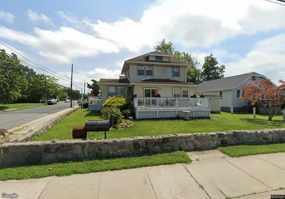
1050 N Main St Pleasantville, NJ 08232
Estimated Value: $230,231 - $302,000
--
Bed
--
Bath
1,864
Sq Ft
$145/Sq Ft
Est. Value
About This Home
This home is located at 1050 N Main St, Pleasantville, NJ 08232 and is currently estimated at $270,058, approximately $144 per square foot. 1050 N Main St is a home located in Atlantic County with nearby schools including Pleasantville High School, Life Point Academy/ Life Point Church, and Holy Spirit High School.
Ownership History
Date
Name
Owned For
Owner Type
Purchase Details
Closed on
Feb 8, 2024
Sold by
Sanders Johnnie L
Bought by
Sanders Johnnie L
Current Estimated Value
Purchase Details
Closed on
Nov 20, 2006
Sold by
Howard Laurie
Bought by
Howard Laurie and Howard Juanita
Purchase Details
Closed on
Jul 7, 2003
Sold by
Howard Juanita
Bought by
Howard Laurie A
Purchase Details
Closed on
Apr 14, 2000
Sold by
Im Land Llc
Bought by
Howard Laurie A and Howard Juanita
Home Financials for this Owner
Home Financials are based on the most recent Mortgage that was taken out on this home.
Original Mortgage
$73,961
Interest Rate
8.21%
Mortgage Type
FHA
Purchase Details
Closed on
Jan 28, 2000
Sold by
Betty Simon Trustee Llc
Bought by
I M Land Llc
Purchase Details
Closed on
Feb 27, 1989
Sold by
Waba Michael P and Waba Rise,Nancy
Bought by
Mazzone Paul and Mazzone Betty
Create a Home Valuation Report for This Property
The Home Valuation Report is an in-depth analysis detailing your home's value as well as a comparison with similar homes in the area
Home Values in the Area
Average Home Value in this Area
Purchase History
| Date | Buyer | Sale Price | Title Company |
|---|---|---|---|
| Sanders Johnnie L | -- | None Listed On Document | |
| Howard Laurie | -- | -- | |
| Howard Laurie A | -- | The Title Company Of Jersey | |
| Howard Laurie A | $74,000 | -- | |
| I M Land Llc | $33,000 | -- | |
| Mazzone Paul | $75,000 | -- |
Source: Public Records
Mortgage History
| Date | Status | Borrower | Loan Amount |
|---|---|---|---|
| Previous Owner | Howard Laurie A | $73,961 |
Source: Public Records
Tax History Compared to Growth
Tax History
| Year | Tax Paid | Tax Assessment Tax Assessment Total Assessment is a certain percentage of the fair market value that is determined by local assessors to be the total taxable value of land and additions on the property. | Land | Improvement |
|---|---|---|---|---|
| 2025 | $6,799 | $129,300 | $24,100 | $105,200 |
| 2024 | $6,799 | $129,300 | $24,100 | $105,200 |
| 2023 | $6,384 | $129,300 | $24,100 | $105,200 |
| 2022 | $6,384 | $129,300 | $24,100 | $105,200 |
| 2021 | $6,199 | $129,300 | $24,100 | $105,200 |
| 2020 | $6,171 | $129,300 | $24,100 | $105,200 |
| 2019 | $6,416 | $133,000 | $27,800 | $105,200 |
| 2018 | $6,215 | $133,000 | $27,800 | $105,200 |
| 2017 | $5,864 | $133,000 | $27,800 | $105,200 |
| 2016 | $7,618 | $190,700 | $40,500 | $150,200 |
| 2015 | $7,294 | $190,600 | $40,500 | $150,100 |
| 2014 | $6,715 | $190,600 | $40,500 | $150,100 |
Source: Public Records
Map
Nearby Homes
- 47 Laurel Dr
- 16 W Thompson Ave
- 44 E Lindley Ave
- 928 Linden Ave
- 21 Larchmont Dr
- 720 S New Rd Unit 5M
- 720 S New Rd Unit 1G
- 720 S New Rd Unit 2L
- 815 Florence Ave
- 27 Chatham Ave
- 1522 7th Ave
- 1214 Peterson Way
- 700 N Franklin Blvd Unit 307
- 700 N Franklin Blvd Unit 1402
- 700 N Franklin Blvd Unit 1401
- 700 N Franklin Blvd Unit 504
- 700 N Franklin Blvd Unit 806
- 4 Oyster Bay Rd Unit 4L
- 624 Benjamin Ct
- 10 Oyster Bay Rd Unit H