1050 Route 12a Plainfield, NH 03781
--
Bed
5
Baths
10,256
Sq Ft
74.26
Acres
About This Home
This home is located at 1050 Route 12a, Plainfield, NH 03781. 1050 Route 12a is a home located in Sullivan County with nearby schools including Plainfield Elementary School, Lebanon High School, and Estabrook Christian School.
Ownership History
Date
Name
Owned For
Owner Type
Purchase Details
Closed on
Dec 8, 2010
Sold by
Av Properties Llc
Bought by
N New England Conferen
Purchase Details
Closed on
Mar 1, 2007
Sold by
Mascoma Sb
Bought by
Av Props Llc
Home Financials for this Owner
Home Financials are based on the most recent Mortgage that was taken out on this home.
Original Mortgage
$564,000
Interest Rate
6.27%
Mortgage Type
Commercial
Purchase Details
Closed on
Sep 3, 2002
Sold by
Jenney William H and Jenney Audrey J
Bought by
Runnemede School
Home Financials for this Owner
Home Financials are based on the most recent Mortgage that was taken out on this home.
Original Mortgage
$220,000
Interest Rate
6.55%
Mortgage Type
Commercial
Create a Home Valuation Report for This Property
The Home Valuation Report is an in-depth analysis detailing your home's value as well as a comparison with similar homes in the area
Home Values in the Area
Average Home Value in this Area
Purchase History
| Date | Buyer | Sale Price | Title Company |
|---|---|---|---|
| N New England Conferen | $465,000 | -- | |
| Av Props Llc | $705,000 | -- | |
| Runnemede School | $250,000 | -- |
Source: Public Records
Mortgage History
| Date | Status | Borrower | Loan Amount |
|---|---|---|---|
| Previous Owner | Runnemede School | $564,000 | |
| Previous Owner | Runnemede School | $220,000 |
Source: Public Records
Tax History Compared to Growth
Tax History
| Year | Tax Paid | Tax Assessment Tax Assessment Total Assessment is a certain percentage of the fair market value that is determined by local assessors to be the total taxable value of land and additions on the property. | Land | Improvement |
|---|---|---|---|---|
| 2023 | -- | $2,931,600 | $204,500 | $2,727,100 |
| 2022 | $0 | $1,301,200 | $116,900 | $1,184,300 |
| 2021 | $0 | $1,301,200 | $116,900 | $1,184,300 |
| 2020 | $0 | $1,301,200 | $116,900 | $1,184,300 |
| 2019 | $0 | $1,301,200 | $116,900 | $1,184,300 |
| 2018 | $0 | $1,301,200 | $116,900 | $1,184,300 |
| 2017 | $0 | $1,206,800 | $114,000 | $1,092,800 |
| 2016 | $1,837 | $1,206,800 | $114,000 | $1,092,800 |
| 2015 | -- | $1,206,800 | $114,000 | $1,092,800 |
| 2014 | $33,187 | $1,206,800 | $114,000 | $1,092,800 |
| 2013 | $33,187 | $1,206,800 | $114,000 | $1,092,800 |
Source: Public Records
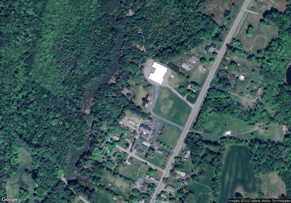
Map
Nearby Homes
- 1118 New Hampshire 12a
- 0 Freeman Rd Unit 22
- 846 New Hampshire 12a
- 1507 Route 12a
- 6 Blodgett Ln
- 16 Nh Route 12a
- 00 Nh Route 12a Unit 7
- 56 Mount Hunger Rd
- 10 Bischoff Ln
- 149 Old County Rd
- 1041 Stage Rd
- 161 Saint Gaudens Rd
- 14 Summarsell Dr Unit 16
- 89 Route 12
- 22 King Dr
- 3 MacE Hill Rd
- 40 Mill St
- 58 Morningside Dr
- 66 Webster Rd
- 282 Penniman Rd
- 1032 Route 12a
- 1030 Route 12a
- 1042 Route 12a
- 1026 Route 12a
- 1026 Route 12a
- 25 Lawton Ln
- 21 Lawton Ln
- 14 Lawton Ln
- 988 Route 12a
- 1078 Route 12a
- 1092 Route 12a
- 1059 New Hampshire 12a
- 1059 Route 12a
- 51 Peterson Rd
- 1001 New Hampshire 12a
- 1027 Route 12a
- 1027 New Hampshire 12a
- 23 Peterson Rd
- 986 Route 12a
- 1067 Route 12a