1050 W Valley Dr Kalispell, MT 59901
Estimated Value: $1,269,000 - $1,475,660
3
Beds
4
Baths
4,295
Sq Ft
$324/Sq Ft
Est. Value
About This Home
This home is located at 1050 W Valley Dr, Kalispell, MT 59901 and is currently estimated at $1,393,220, approximately $324 per square foot. 1050 W Valley Dr is a home located in Flathead County with nearby schools including West Valley Elementary School, West Valley Middle School, and Glacier High School.
Ownership History
Date
Name
Owned For
Owner Type
Purchase Details
Closed on
Jul 14, 2025
Sold by
Andenoro Lynn Paige and Andenoro John David
Bought by
Dragonfly Ranch Ja Revocable Trust and Dragonfly Ranch La Revocable Trust
Current Estimated Value
Purchase Details
Closed on
Jun 26, 2009
Sold by
Yager Greg and Yager Nancy
Bought by
Andenoro John David and Andenoro Lynn Palge
Home Financials for this Owner
Home Financials are based on the most recent Mortgage that was taken out on this home.
Original Mortgage
$417,000
Interest Rate
4.83%
Mortgage Type
New Conventional
Create a Home Valuation Report for This Property
The Home Valuation Report is an in-depth analysis detailing your home's value as well as a comparison with similar homes in the area
Purchase History
| Date | Buyer | Sale Price | Title Company |
|---|---|---|---|
| Dragonfly Ranch Ja Revocable Trust | -- | None Listed On Document | |
| Andenoro John David | -- | None Available |
Source: Public Records
Mortgage History
| Date | Status | Borrower | Loan Amount |
|---|---|---|---|
| Previous Owner | Andenoro John David | $417,000 |
Source: Public Records
Tax History
| Year | Tax Paid | Tax Assessment Tax Assessment Total Assessment is a certain percentage of the fair market value that is determined by local assessors to be the total taxable value of land and additions on the property. | Land | Improvement |
|---|---|---|---|---|
| 2025 | $5,330 | $1,218,083 | $0 | $0 |
| 2024 | $5,286 | $891,406 | $0 | $0 |
| 2023 | $5,260 | $891,406 | $0 | $0 |
| 2022 | $5,193 | $675,456 | $0 | $0 |
| 2021 | $5,820 | $675,456 | $0 | $0 |
| 2020 | $5,346 | $608,833 | $0 | $0 |
| 2019 | $5,234 | $608,833 | $0 | $0 |
| 2018 | $4,782 | $520,096 | $0 | $0 |
| 2017 | $4,784 | $520,096 | $0 | $0 |
| 2016 | $4,500 | $497,061 | $0 | $0 |
| 2015 | $4,624 | $497,061 | $0 | $0 |
| 2014 | $4,936 | $312,624 | $0 | $0 |
Source: Public Records
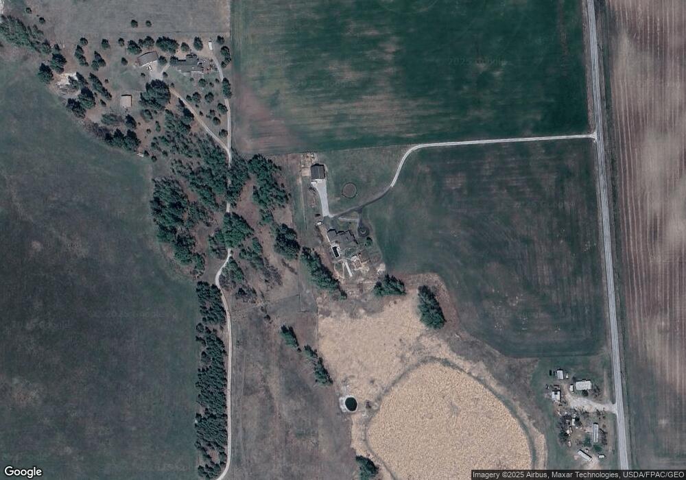
Map
Nearby Homes
- 1725 Farm To Market Rd
- 382 Snow Camp Rd
- 645 W Valley Dr
- 2100 Four Mile Dr
- 1370 Three Mile Dr
- 11 McMannamy Draw
- 123 Drumlin Way
- 856 Ahern Ct
- 2416 Farm To Market Rd
- 1272 Morning Eagle Dr
- 840 Mountain Vista Way
- 1264 Morning Eagle Dr
- 823 Lake Francis Dr
- 215 Jackson Peak Dr
- 117 Cyclone Dr
- 2845 Farm To Market Rd
- 2130 Farm To Market Rd
- 383 Mountain Vista Way
- 228 Cottage Dr
- 327 Mountain Vista Way
- 920 W Valley Dr
- 1773 Farm To Market Rd
- 1700 Farm To Market Rd
- 1710 Pines Blvd
- 780 W Valley Dr
- 1720 Pines Blvd
- 264 Last Best Place
- 182 Last Best Place
- 1815 Farm To Market Rd
- 210 Last Best Place
- 1819 Farm To Market Rd
- 320 Last Best Place
- 1750 Pines Blvd
- 1823 Farm To Market Rd
- 1080 W Valley Dr
- 1760 Pines Blvd
- 792 W Valley Dr
- 1827 Farm To Market Rd
- 788 W Valley Dr
- 61 Painted Shadow Rd
Your Personal Tour Guide
Ask me questions while you tour the home.