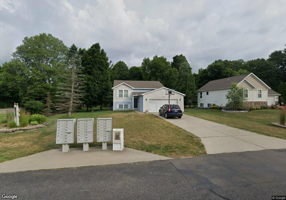
10500 Compton Dr South Haven, MI 49090
Estimated Value: $353,000 - $408,000
3
Beds
2
Baths
1,120
Sq Ft
$342/Sq Ft
Est. Value
About This Home
This home is located at 10500 Compton Dr, South Haven, MI 49090 and is currently estimated at $383,034, approximately $341 per square foot. 10500 Compton Dr is a home located in Van Buren County with nearby schools including South Haven High School, St. Paul Lutheran School, and St. Basil School.
Ownership History
Date
Name
Owned For
Owner Type
Purchase Details
Closed on
Jan 4, 2013
Sold by
Osage Development Corporation
Bought by
Strebeck Michael and Strebeck Jennifer
Current Estimated Value
Home Financials for this Owner
Home Financials are based on the most recent Mortgage that was taken out on this home.
Original Mortgage
$5,074
Outstanding Balance
$3,518
Interest Rate
3.31%
Mortgage Type
Stand Alone First
Estimated Equity
$379,516
Create a Home Valuation Report for This Property
The Home Valuation Report is an in-depth analysis detailing your home's value as well as a comparison with similar homes in the area
Home Values in the Area
Average Home Value in this Area
Purchase History
| Date | Buyer | Sale Price | Title Company |
|---|---|---|---|
| Strebeck Michael | $10,000 | None Available |
Source: Public Records
Mortgage History
| Date | Status | Borrower | Loan Amount |
|---|---|---|---|
| Open | Strebeck Michael | $5,074 |
Source: Public Records
Tax History Compared to Growth
Tax History
| Year | Tax Paid | Tax Assessment Tax Assessment Total Assessment is a certain percentage of the fair market value that is determined by local assessors to be the total taxable value of land and additions on the property. | Land | Improvement |
|---|---|---|---|---|
| 2025 | $3,795 | $167,800 | $0 | $0 |
| 2024 | $1,848 | $163,900 | $0 | $0 |
| 2023 | $1,760 | $153,700 | $0 | $0 |
| 2022 | $3,423 | $125,200 | $0 | $0 |
| 2021 | $3,242 | $112,500 | $8,200 | $104,300 |
| 2020 | $3,196 | $111,700 | $8,200 | $103,500 |
| 2019 | $3,028 | $110,000 | $110,000 | $0 |
| 2018 | $3,016 | $103,700 | $103,700 | $0 |
| 2017 | $2,739 | $89,500 | $0 | $0 |
| 2016 | $2,676 | $89,300 | $0 | $0 |
| 2015 | $2,372 | $89,300 | $0 | $0 |
| 2014 | $1,608 | $84,100 | $0 | $0 |
| 2013 | -- | $67,700 | $67,700 | $0 |
Source: Public Records
Map
Nearby Homes
- 10505 Compton Dr Unit 1
- 72597 Faye Ct
- 69636 County Road 384
- 13670 73rd St
- 74213 10th Ave
- 09279 M-140 Hwy
- 326 Blue Star Hwy
- Parcel ABC 73rd St
- 0 73rd St
- 13537 M 140
- v/l Blue Star Hwy
- 5640 Blue Star Hwy
- 13241 Deercreek Ct
- 757 Phillips St
- 5122 Parkview Ln
- 72268 Beacon Ct
- 72022 Beacon Ct
- 72386 Beacon Ct Unit 710
- 960 Center St
- 746 Lee St
- 10444 Compton Dr Unit 19
- 10390 Compton Dr Unit 18
- 10447 Compton Dr
- 72753 Faye Ct
- 72753 Faye Ct Unit 34
- 72727 Faye Ct Unit 35
- 72701 Faye Ct
- 72701 Faye Ct Unit 36
- 10352 Compton Dr Unit 17
- 10401 Compton Dr Unit 3
- 72775 Faye Ct Unit 33
- 72655 Faye Ct Unit 37
- 10365 Compton Dr Unit 4
- 72660 M 43
- 72597 Faye Ct Unit 16
- 72689 M 43
- 10449 Compton Dr
- 0 Faye Ct
- 10327 Compton Dr Unit 5
- 72805 Faye Ct Unit 32