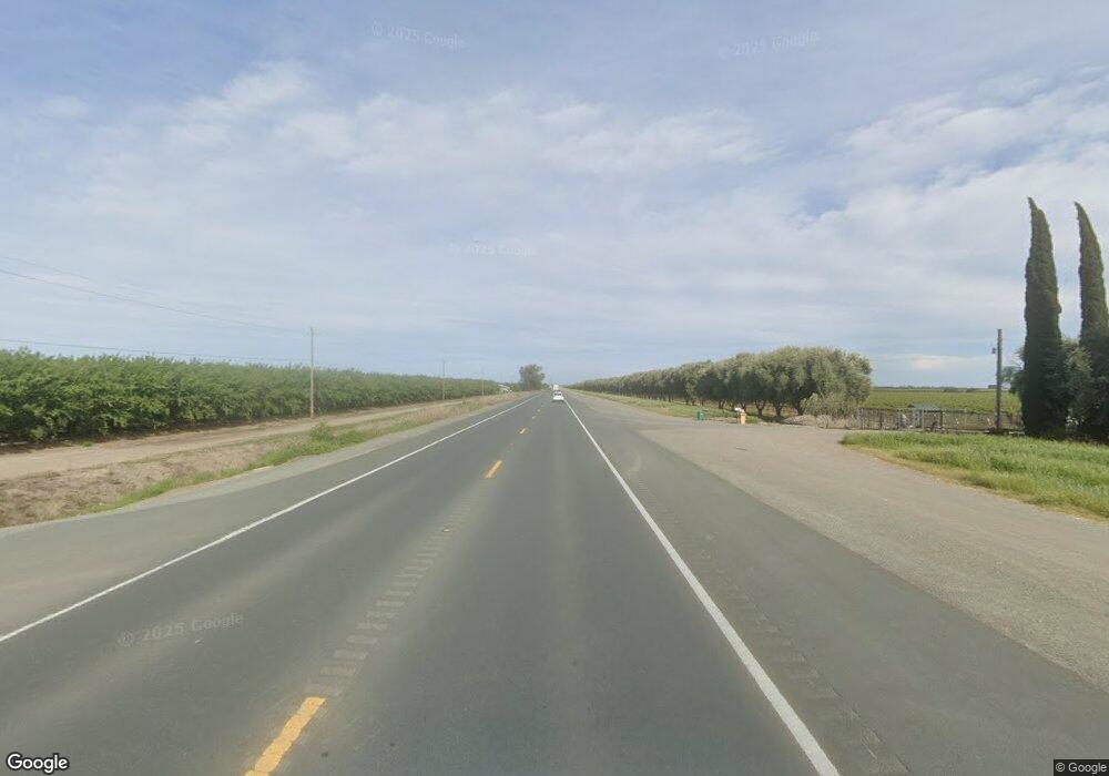
Estimated Value: $1,213,000 - $3,267,546
--
Bed
--
Bath
--
Sq Ft
215.64
Acres
About This Home
This home is located at 10500 W Highway 12, Lodi, CA 95242 and is currently estimated at $2,240,273. 10500 W Highway 12 is a home located in San Joaquin County with nearby schools including Ellerth E. Larson Elementary School, Lodi Middle School, and Tokay High School.
Ownership History
Date
Name
Owned For
Owner Type
Purchase Details
Closed on
Jul 24, 2025
Sold by
Joe Olagaray Separate Property Trust and Olagaray Joe
Bought by
Sanzberro Properties Llc
Current Estimated Value
Purchase Details
Closed on
Jul 21, 2025
Sold by
Olagaray Brothers
Bought by
Joe Olagaray Separate Property Trust and Olagaray
Purchase Details
Closed on
Feb 7, 2013
Sold by
Pacific Gas & Electric Company
Bought by
Pacific Gas & Electric Company
Purchase Details
Closed on
Mar 22, 2005
Sold by
Heritage Land Co Inc
Bought by
Brothers Olagaray
Home Financials for this Owner
Home Financials are based on the most recent Mortgage that was taken out on this home.
Original Mortgage
$600,000
Interest Rate
5.77%
Mortgage Type
Unknown
Purchase Details
Closed on
Aug 15, 1996
Sold by
Leach William J and Hunt Janice D
Bought by
Gardemeyer Dennis A and Gardemeyer Denice
Create a Home Valuation Report for This Property
The Home Valuation Report is an in-depth analysis detailing your home's value as well as a comparison with similar homes in the area
Home Values in the Area
Average Home Value in this Area
Purchase History
| Date | Buyer | Sale Price | Title Company |
|---|---|---|---|
| Sanzberro Properties Llc | -- | None Listed On Document | |
| Joe Olagaray Separate Property Trust | $14,176,963 | None Listed On Document | |
| Pacific Gas & Electric Company | -- | None Available | |
| Brothers Olagaray | -- | First Amer Title Co | |
| Gardemeyer Dennis A | -- | First American Title Co |
Source: Public Records
Mortgage History
| Date | Status | Borrower | Loan Amount |
|---|---|---|---|
| Previous Owner | Brothers Olagaray | $600,000 |
Source: Public Records
Tax History Compared to Growth
Tax History
| Year | Tax Paid | Tax Assessment Tax Assessment Total Assessment is a certain percentage of the fair market value that is determined by local assessors to be the total taxable value of land and additions on the property. | Land | Improvement |
|---|---|---|---|---|
| 2025 | $53,004 | $2,075,869 | $708,657 | $1,367,212 |
| 2024 | $51,705 | $2,035,169 | $694,762 | $1,340,407 |
| 2023 | $50,857 | $1,995,266 | $681,139 | $1,314,127 |
| 2022 | $39,596 | $1,956,161 | $667,784 | $1,288,377 |
| 2021 | $39,979 | $1,917,806 | $654,691 | $1,263,115 |
| 2020 | $38,421 | $1,898,142 | $647,978 | $1,250,164 |
| 2019 | $37,998 | $1,860,925 | $635,273 | $1,225,652 |
| 2018 | $37,708 | $1,824,437 | $622,817 | $1,201,620 |
| 2017 | $37,253 | $1,788,661 | $1,015,360 | $773,301 |
| 2016 | $36,009 | $1,753,598 | $747,594 | $1,006,004 |
| 2014 | $21,371 | $1,683,979 | $490,860 | $1,193,119 |
Source: Public Records
Map
Nearby Homes
- 1 Robin Ct
- 5 Little Honker Ct
- 11520 W Eight Mile Rd Unit 31
- 7093 Tradewind Way
- 7069 Tradewind Way
- 10937 Anchor Port Ln
- 7053 Tradewind Way
- 10965 Admiral Cove Way
- 10970 Admiral Cove Way
- 10957 Admiral Cove Way
- 10962 Admiral Cove Way
- 10941 Admiral Cove Way
- 10938 Admiral Cove Way
- 10911 Admiral Cove Way
- Residence 1765 Plan at Breakers Cove at Westlake
- Residence 2966 Plan at Breakers Cove at Westlake
- Residence 2403 Plan at Breakers Cove at Westlake
- Residence 1944 Plan at Breakers Cove at Westlake
- Residence 3308 Plan at Breezes at Westlake
- Residence 3175 Plan at Breezes at Westlake
