10501 Highway 57 Vancleave, MS 39565
Estimated Value: $290,000 - $460,000
--
Bed
1
Bath
1,998
Sq Ft
$194/Sq Ft
Est. Value
About This Home
This home is located at 10501 Highway 57, Vancleave, MS 39565 and is currently estimated at $387,114, approximately $193 per square foot. 10501 Highway 57 is a home located in Jackson County with nearby schools including Vancleave Lower Elementary School, Vancleave Upper Elementary School, and Vancleave Middle School.
Ownership History
Date
Name
Owned For
Owner Type
Purchase Details
Closed on
Jun 30, 2022
Sold by
Milling Jr Robert Bryan
Bought by
Johnston Timothy Stephen and Johnson Ashley
Current Estimated Value
Home Financials for this Owner
Home Financials are based on the most recent Mortgage that was taken out on this home.
Original Mortgage
$100,000
Outstanding Balance
$73,793
Interest Rate
5.25%
Mortgage Type
New Conventional
Estimated Equity
$313,321
Create a Home Valuation Report for This Property
The Home Valuation Report is an in-depth analysis detailing your home's value as well as a comparison with similar homes in the area
Home Values in the Area
Average Home Value in this Area
Purchase History
| Date | Buyer | Sale Price | Title Company |
|---|---|---|---|
| Johnston Timothy Stephen | -- | Pilger David B | |
| Johnston Timothy Stephen | -- | Pilger David B |
Source: Public Records
Mortgage History
| Date | Status | Borrower | Loan Amount |
|---|---|---|---|
| Open | Johnston Timothy Stephen | $100,000 | |
| Closed | Johnston Timothy Stephen | $100,000 |
Source: Public Records
Tax History Compared to Growth
Tax History
| Year | Tax Paid | Tax Assessment Tax Assessment Total Assessment is a certain percentage of the fair market value that is determined by local assessors to be the total taxable value of land and additions on the property. | Land | Improvement |
|---|---|---|---|---|
| 2024 | $236 | $19,270 | $1,605 | $17,665 |
| 2023 | $236 | $12,559 | $1,619 | $10,940 |
| 2022 | $232 | $9,492 | $0 | $0 |
| 2021 | $234 | $9,507 | $8,904 | $603 |
| 2020 | $241 | $9,491 | $1,400 | $8,091 |
| 2019 | $241 | $9,510 | $1,418 | $8,092 |
| 2018 | $247 | $9,528 | $1,435 | $8,093 |
| 2017 | $253 | $9,535 | $1,441 | $8,094 |
| 2016 | $237 | $9,490 | $1,399 | $8,091 |
| 2015 | $1,471 | $81,950 | $11,760 | $70,190 |
| 2014 | $1,456 | $12,387 | $1,854 | $10,533 |
| 2013 | $1,606 | $14,146 | $1,814 | $12,332 |
Source: Public Records
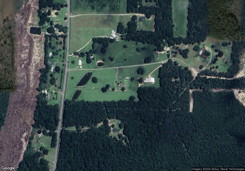
Map
Nearby Homes
- 0 Ms-57 Unit 4107638
- 0 Ms-57 Unit 4097649
- 0 Ms 57 Unit 4122608
- 0 Ms 57 Unit 4117591
- 6404 Humphrey Rd
- 00 Humphrey Rd
- 10000 Cherokee Rose Rd
- 0 Morningside Dr Unit 4120736
- 10200 Blossom St
- Tbd Seaman Rd
- 0 Box Rd
- 8317 Highway 57
- 8236 Stonehaven Dr
- 9108 Box Rd
- 9158 Box Rd
- 0 N Hwy 57 Unit 4042677
- 13109 Little Bluff Dr
- 3685 Poticaw Bayou Rd
- 9618 Paige Bayou Rd
- 11301 Johns Bayou Rd
- 10300 Highway 57
- 10602 Highway 57
- 10612 Highway 57
- 10500 Highway 57
- 10705 Highway 57
- 10512 Highway 57
- 5605 Russell Ln Unit DRO
- 10728 Highway 57
- 5607 Russell Ln Unit DRO
- 10305 Highway 57
- 10709 Highway 57
- 5609 Russell Ln
- 5613 Russell Ln
- 10208 Highway 57
- 10804 Highway 57
- 5601 Russell Ln
- 10205 Highway 57
- 5201 C L Dees Dr
- 5401 C L Dees Dr
- 10200 Highway 57