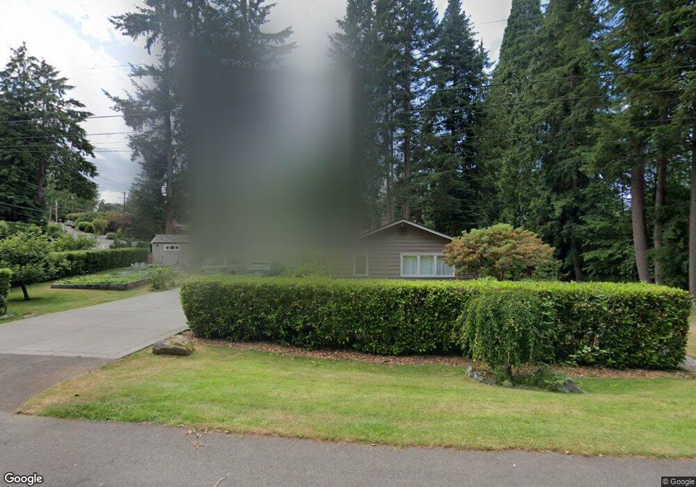
10503 Little John Ct Edmonds, WA 98020
Sherwood Forest NeighborhoodEstimated Value: $923,000 - $1,191,000
4
Beds
2
Baths
2,176
Sq Ft
$482/Sq Ft
Est. Value
About This Home
This home is located at 10503 Little John Ct, Edmonds, WA 98020 and is currently estimated at $1,048,651, approximately $481 per square foot. 10503 Little John Ct is a home located in Snohomish County with nearby schools including Sherwood Elementary School, College Place Middle School, and Edmonds-Woodway High School.
Ownership History
Date
Name
Owned For
Owner Type
Purchase Details
Closed on
Dec 1, 2005
Sold by
Wilmot Brain A and Wilmot Barbara J
Bought by
Herr Alan and Herr Karen
Current Estimated Value
Home Financials for this Owner
Home Financials are based on the most recent Mortgage that was taken out on this home.
Original Mortgage
$38,000
Interest Rate
5.68%
Mortgage Type
Stand Alone Second
Create a Home Valuation Report for This Property
The Home Valuation Report is an in-depth analysis detailing your home's value as well as a comparison with similar homes in the area
Home Values in the Area
Average Home Value in this Area
Purchase History
| Date | Buyer | Sale Price | Title Company |
|---|---|---|---|
| Herr Alan | $380,000 | The Talon Group |
Source: Public Records
Mortgage History
| Date | Status | Borrower | Loan Amount |
|---|---|---|---|
| Closed | Herr Alan | $38,000 | |
| Open | Herr Alan | $304,000 |
Source: Public Records
Tax History Compared to Growth
Tax History
| Year | Tax Paid | Tax Assessment Tax Assessment Total Assessment is a certain percentage of the fair market value that is determined by local assessors to be the total taxable value of land and additions on the property. | Land | Improvement |
|---|---|---|---|---|
| 2025 | $5,961 | $868,300 | $621,300 | $247,000 |
| 2024 | $5,961 | $836,400 | $586,900 | $249,500 |
| 2023 | $6,069 | $882,400 | $611,100 | $271,300 |
| 2022 | $6,631 | $793,000 | $586,900 | $206,100 |
| 2020 | $6,196 | $662,700 | $459,800 | $202,900 |
| 2019 | $5,600 | $603,300 | $403,500 | $199,800 |
| 2018 | $5,901 | $549,400 | $370,500 | $178,900 |
| 2017 | $4,904 | $477,700 | $319,100 | $158,600 |
| 2016 | $4,497 | $434,000 | $281,300 | $152,700 |
| 2015 | $4,295 | $390,200 | $248,300 | $141,900 |
| 2013 | $3,671 | $314,500 | $185,300 | $129,200 |
Source: Public Records
Map
Nearby Homes
- 22628 106th Ave W
- 11211 Wachusett Rd
- 11130 S Deer Dr
- 23024 99th Ave W
- 9801 234th St SW Unit 1
- 24012 102nd Place W
- 11110 Algonquin Rd
- 24104 105th Place W
- 24109 106th Place W
- 11108 239th Place SW
- 9526 234th St SW
- 23511 96th Ave W
- 9511 Edmonds Way
- 11432 238th St SW
- 22212 98th Ave W
- 637 Elm Place
- 1221 Coronado Place
- 22039 98th Place W
- 9906 242nd Place SW
- 550 Elm Way Unit 408
- 10509 Robin Hood Dr
- 10425 Little John Ct
- 10427 Little John Ct
- 10506 Robin Hood Dr
- 10523 Robin Hood Dr
- 10502 231st St SW
- 10430 231st St SW
- 10510 231st St SW
- 10508 Alan a Dale Place
- 23301 Robin Hood Dr
- 10526 Robin Hood Dr
- 10411 Little John Ct
- 10412 Little John Ct
- 10526 231st St SW
- 23306 Robin Hood Dr
- 10419 231st St SW
- 10519 Alan a Dale Place
- 10603 Robin Hood Dr
- 23309 Robin Hood Dr
- 10410 231st St SW