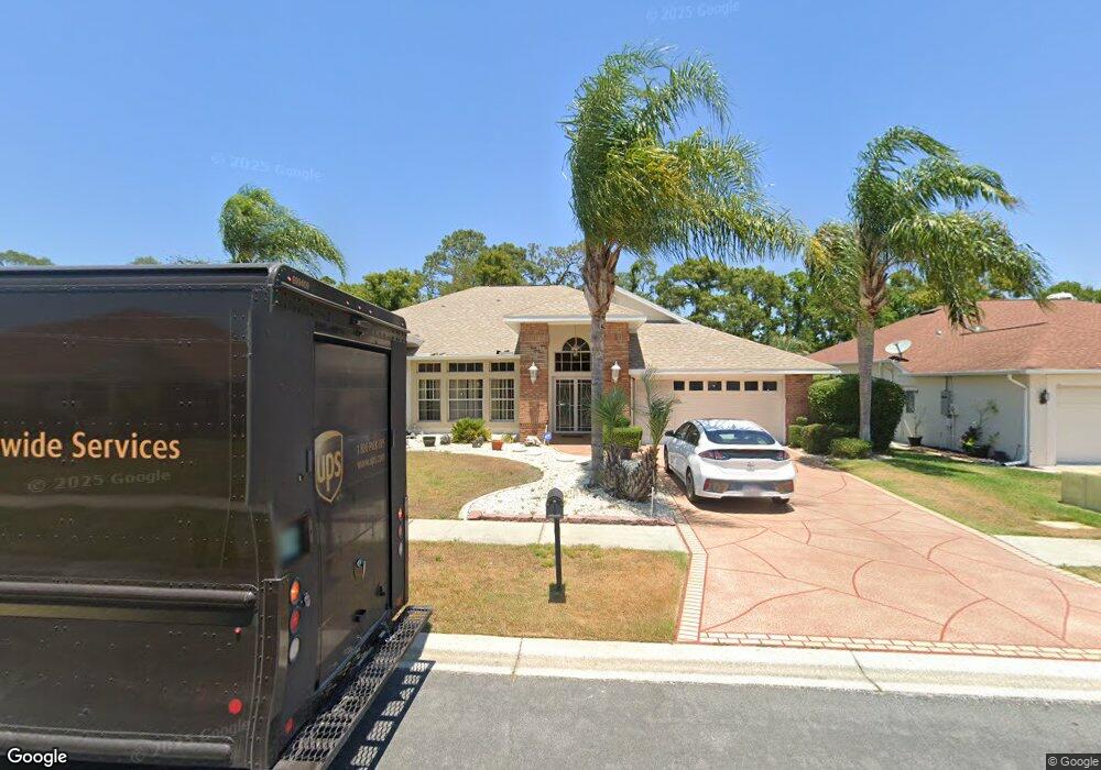
10505 Audie Brook Dr Spring Hill, FL 34608
Estimated Value: $390,000 - $534,000
3
Beds
2
Baths
2,345
Sq Ft
$187/Sq Ft
Est. Value
About This Home
This home is located at 10505 Audie Brook Dr, Spring Hill, FL 34608 and is currently estimated at $437,598, approximately $186 per square foot. 10505 Audie Brook Dr is a home located in Hernando County with nearby schools including Suncoast Elementary School, Powell Middle School, and Frank W. Springstead High School.
Ownership History
Date
Name
Owned For
Owner Type
Purchase Details
Closed on
Nov 5, 2014
Sold by
Pine Richard R and Fine Harriet S
Bought by
The Richard & Harriet Fine Revocable Liv and Fine Harriet S
Current Estimated Value
Purchase Details
Closed on
Apr 25, 2011
Sold by
Straton Liselle Lenore
Bought by
Fine Richard R and Fine Harriet S
Home Financials for this Owner
Home Financials are based on the most recent Mortgage that was taken out on this home.
Original Mortgage
$116,000
Outstanding Balance
$79,225
Interest Rate
4.74%
Mortgage Type
New Conventional
Estimated Equity
$358,373
Create a Home Valuation Report for This Property
The Home Valuation Report is an in-depth analysis detailing your home's value as well as a comparison with similar homes in the area
Home Values in the Area
Average Home Value in this Area
Purchase History
| Date | Buyer | Sale Price | Title Company |
|---|---|---|---|
| The Richard & Harriet Fine Revocable Liv | -- | Attorney | |
| Fine Richard R | $145,000 | Attorney |
Source: Public Records
Mortgage History
| Date | Status | Borrower | Loan Amount |
|---|---|---|---|
| Open | Fine Richard R | $116,000 |
Source: Public Records
Tax History
| Year | Tax Paid | Tax Assessment Tax Assessment Total Assessment is a certain percentage of the fair market value that is determined by local assessors to be the total taxable value of land and additions on the property. | Land | Improvement |
|---|---|---|---|---|
| 2025 | $2,737 | $180,052 | -- | -- |
| 2024 | $2,642 | $174,978 | -- | -- |
| 2023 | $2,642 | $169,882 | $0 | $0 |
| 2022 | $2,551 | $164,934 | $0 | $0 |
| 2021 | $2,553 | $160,130 | $0 | $0 |
| 2020 | $2,389 | $157,919 | $0 | $0 |
| 2019 | $2,390 | $154,369 | $0 | $0 |
| 2018 | $1,718 | $151,491 | $0 | $0 |
| 2017 | $2,042 | $148,375 | $0 | $0 |
| 2016 | $1,978 | $145,323 | $0 | $0 |
| 2015 | $1,994 | $144,313 | $0 | $0 |
| 2014 | $1,929 | $143,168 | $0 | $0 |
Source: Public Records
Map
Nearby Homes
- 10421 Templewood Ct
- 11018 Audie Brook Dr
- 11017 Audie Brook Dr
- 1285 Henry Ave
- 10464 Henderson St
- 1039 Greenturf Rd
- 10351 Flag Rd
- 10443 Casa Grande Cir
- 1542 Overland Dr
- 1238 Masada Ln
- 11008 Casa Grande Cir
- 10428 Casa Grande Cir
- 10344 Henderson St
- 1250 Masada Ln
- 1269 Masada Ln
- 1247 Venetia Dr
- 1186 Muscovy Dr
- 10400 Casa Grande Cir
- 11053 Via Santiago Ct
- 1007 La Bamba Ct
- 10495 Audie Brook Dr
- 10511 Audie Brook Dr
- 10515 Audie Brook Dr
- 10485 Audie Brook Dr
- 1134 Greenturf Rd
- 1161 Bunker Ct
- 10479 Audie Brook Dr
- 1124 Greenturf Rd
- 10480 Audie Brook Dr
- 1153 Bunker Ct
- 1160 Bunker Ct
- 10525 Audie Brook Dr
- 10469 Audie Brook Dr
- 10470 Audi Brook Dr
- 10470 10470 Audi Brook Dr
- 1114 Greenturf Rd
- 1145 Bunker Ct
- 10437 Sandtrap Dr
- 1152 Bunker Ct
- 10531 Audie Brook Dr
Your Personal Tour Guide
Ask me questions while you tour the home.