1051 E Tuolumne Rd Turlock, CA 95382
Estimated Value: $1,086,343
Studio
--
Bath
--
Sq Ft
8,712
Sq Ft Lot
About This Home
This home is located at 1051 E Tuolumne Rd, Turlock, CA 95382 and is currently estimated at $1,086,343. 1051 E Tuolumne Rd is a home located in Stanislaus County with nearby schools including Dennis G. Earl Elementary School, Marvin A. Dutcher Middle School, and Turlock Junior High School.
Ownership History
Date
Name
Owned For
Owner Type
Purchase Details
Closed on
Jun 19, 2017
Sold by
Sousa Frances
Bought by
Sousa Frances R and Frances R Sousa Trust
Current Estimated Value
Purchase Details
Closed on
Oct 26, 2012
Sold by
Leer Daniel James and John Fuery Trust
Bought by
Sousa Frances
Purchase Details
Closed on
Jun 27, 2012
Sold by
The Oncology Corporation
Bought by
Leer Daniel James and John Fuery Trust
Purchase Details
Closed on
Oct 12, 2009
Sold by
The Radiation Oncology Center Inc
Bought by
The Oncology Corporation
Create a Home Valuation Report for This Property
The Home Valuation Report is an in-depth analysis detailing your home's value as well as a comparison with similar homes in the area
Purchase History
| Date | Buyer | Sale Price | Title Company |
|---|---|---|---|
| Sousa Frances R | -- | None Available | |
| Sousa Frances | $345,000 | Stewart Title Of California | |
| Leer Daniel James | -- | None Available | |
| The Oncology Corporation | -- | None Available |
Source: Public Records
Tax History
| Year | Tax Paid | Tax Assessment Tax Assessment Total Assessment is a certain percentage of the fair market value that is determined by local assessors to be the total taxable value of land and additions on the property. | Land | Improvement |
|---|---|---|---|---|
| 2025 | $4,562 | $424,828 | $86,193 | $338,635 |
| 2024 | $4,477 | $416,499 | $84,503 | $331,996 |
| 2023 | $4,471 | $408,334 | $82,847 | $325,487 |
| 2022 | $4,414 | $400,328 | $81,223 | $319,105 |
| 2021 | $4,349 | $392,480 | $79,631 | $312,849 |
| 2020 | $4,319 | $388,457 | $78,815 | $309,642 |
| 2019 | $4,247 | $380,841 | $77,270 | $303,571 |
| 2018 | $4,243 | $373,374 | $75,755 | $297,619 |
| 2017 | $4,144 | $366,054 | $74,270 | $291,784 |
| 2016 | $3,870 | $358,877 | $72,814 | $286,063 |
| 2015 | $3,837 | $353,488 | $71,721 | $281,767 |
| 2014 | $3,800 | $346,565 | $70,317 | $276,248 |
Source: Public Records
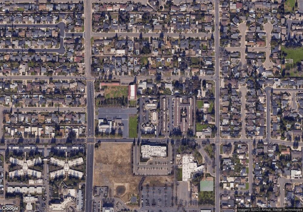
Map
Nearby Homes
- 680 Sherri Way
- 2293 E Tuolumne Rd
- 0 Hogin Rd Unit MC25187945
- 0 Hogin Rd Unit 225067168
- 1740 Colorado Ave
- 3140 Kellogg Ave
- 2485 Tigers Dr
- 1820 N Berkeley Ave
- 345 Riviera Way
- 125 Hedstrom Rd
- 2063 Justice Ct
- 1460 E Hawkeye Ave
- 3491 Santos Ct
- 3221 Amethyst Way
- 215 E Hawkeye Ave
- 1701 Sylvia Ct
- 1730 Sylvia Ct
- 2200 E Tuolumne Rd
- 861 Wayside Dr
- 100 Pedras Rd
- 1051 E Tuolumne Rd Unit C
- 1051 E Tuolumne Rd
- 1051 E Tuolumne Rd
- 950 E Minnesota Ave
- 940 E Minnesota Ave
- 1010 E Minnesota Ave
- 1040 E Minnesota Ave
- 1100 E Minnesota Ave
- 951 E Minnesota Ave
- 941 E Minnesota Ave
- 1011 E Minnesota Ave
- 931 E Minnesota Ave
- 1031 E Minnesota Ave
- 921 E Minnesota Ave
- 1120 E Minnesota Ave
- 901 E Minnesota Ave
- 1041 E Minnesota Ave
- 821 E Minnesota Ave
- 1101 E Minnesota Ave
- 819 E Minnesota Ave
Your Personal Tour Guide
Ask me questions while you tour the home.