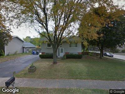
1051 Mark St South Elgin, IL 60177
Valley View NeighborhoodEstimated Value: $262,725 - $303,000
3
Beds
2
Baths
768
Sq Ft
$378/Sq Ft
Est. Value
About This Home
This home is located at 1051 Mark St, South Elgin, IL 60177 and is currently estimated at $290,681, approximately $378 per square foot. 1051 Mark St is a home located in Kane County with nearby schools including Anderson Elementary School, Wredling Middle School, and St Charles North High School.
Ownership History
Date
Name
Owned For
Owner Type
Purchase Details
Closed on
Apr 30, 2021
Sold by
Mccoy Timothy P and Mccoy Karen M
Bought by
Mccoy Timothy P and Mccoy Karen Marie
Current Estimated Value
Create a Home Valuation Report for This Property
The Home Valuation Report is an in-depth analysis detailing your home's value as well as a comparison with similar homes in the area
Home Values in the Area
Average Home Value in this Area
Purchase History
| Date | Buyer | Sale Price | Title Company |
|---|---|---|---|
| Mccoy Timothy P | -- | Attorney |
Source: Public Records
Mortgage History
| Date | Status | Borrower | Loan Amount |
|---|---|---|---|
| Closed | Mccoy Timothy P | $100,000 | |
| Closed | Mccoy Timothy P | $100,000 | |
| Closed | Mccoy Karen | $54,000 |
Source: Public Records
Tax History Compared to Growth
Tax History
| Year | Tax Paid | Tax Assessment Tax Assessment Total Assessment is a certain percentage of the fair market value that is determined by local assessors to be the total taxable value of land and additions on the property. | Land | Improvement |
|---|---|---|---|---|
| 2023 | $4,944 | $73,212 | $24,998 | $48,214 |
| 2022 | $4,801 | $65,954 | $25,087 | $40,867 |
| 2021 | $4,576 | $62,867 | $23,913 | $38,954 |
| 2020 | $4,196 | $57,842 | $23,467 | $34,375 |
| 2019 | $4,564 | $56,696 | $23,002 | $33,694 |
| 2018 | $4,197 | $52,425 | $22,128 | $30,297 |
| 2017 | $3,356 | $43,500 | $21,371 | $22,129 |
| 2016 | $4,074 | $41,972 | $20,620 | $21,352 |
| 2015 | -- | $41,520 | $20,398 | $21,122 |
| 2014 | -- | $41,435 | $20,398 | $21,037 |
| 2013 | -- | $41,412 | $20,602 | $20,810 |
Source: Public Records
Map
Nearby Homes
- 561 South Dr
- 355 Woodridge Cir Unit B
- 263 Windsor Ct Unit A
- 336 Windsor Ct Unit D
- 360 S Pointe Ave
- 505 Franklin Dr
- 243 Windsor Ct Unit D
- 553 S Haverhill Ln Unit 2
- 195 E State St
- 7N030 Wabash Ave
- 7N504 State Route 31
- 566 Independence Ave
- 1008 Atterberg Rd
- 1053 Moraine Dr
- 2326 Southwind Blvd
- 271 Valley Forge Ave
- 6N667 Watseka Ave
- 692-703 Tuscola Ave
- 6N688 Tuscola Ave
- 6N678 Tuscola Ave