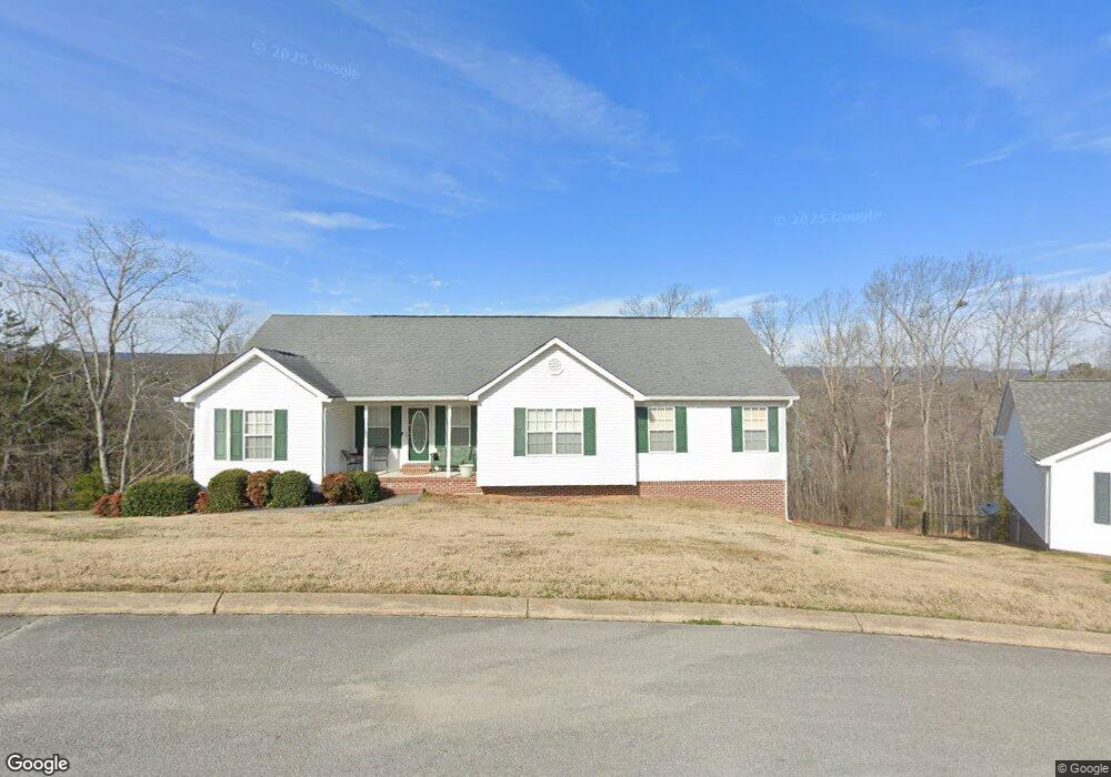
1051 Trojan Run Dr Soddy Daisy, TN 37379
Estimated Value: $368,000 - $372,000
3
Beds
2
Baths
1,630
Sq Ft
$227/Sq Ft
Est. Value
About This Home
This home is located at 1051 Trojan Run Dr, Soddy Daisy, TN 37379 and is currently estimated at $370,246, approximately $227 per square foot. 1051 Trojan Run Dr is a home located in Hamilton County.
Ownership History
Date
Name
Owned For
Owner Type
Purchase Details
Closed on
Apr 27, 2006
Sold by
Sunrise Construction Co Inc
Bought by
Bain Charles E and Bain Eugenia G
Current Estimated Value
Home Financials for this Owner
Home Financials are based on the most recent Mortgage that was taken out on this home.
Original Mortgage
$133,120
Outstanding Balance
$76,700
Interest Rate
6.31%
Mortgage Type
Fannie Mae Freddie Mac
Estimated Equity
$293,546
Purchase Details
Closed on
Apr 12, 2005
Sold by
Keyes Bobby
Bought by
The Davros Corp
Home Financials for this Owner
Home Financials are based on the most recent Mortgage that was taken out on this home.
Original Mortgage
$43,200
Interest Rate
5.88%
Mortgage Type
Unknown
Create a Home Valuation Report for This Property
The Home Valuation Report is an in-depth analysis detailing your home's value as well as a comparison with similar homes in the area
Home Values in the Area
Average Home Value in this Area
Purchase History
| Date | Buyer | Sale Price | Title Company |
|---|---|---|---|
| Bain Charles E | $166,400 | Pioneer Title Agency Inc | |
| The Davros Corp | $25,000 | -- |
Source: Public Records
Mortgage History
| Date | Status | Borrower | Loan Amount |
|---|---|---|---|
| Open | Bain Charles E | $133,120 | |
| Previous Owner | The Davros Corp | $43,200 |
Source: Public Records
Tax History Compared to Growth
Tax History
| Year | Tax Paid | Tax Assessment Tax Assessment Total Assessment is a certain percentage of the fair market value that is determined by local assessors to be the total taxable value of land and additions on the property. | Land | Improvement |
|---|---|---|---|---|
| 2024 | $1,351 | $60,375 | $0 | $0 |
| 2023 | $2,033 | $60,375 | $0 | $0 |
| 2022 | $2,033 | $60,375 | $0 | $0 |
| 2021 | $2,033 | $60,375 | $0 | $0 |
| 2020 | $2,118 | $51,225 | $0 | $0 |
| 2019 | $2,118 | $51,225 | $0 | $0 |
| 2018 | $2,118 | $51,225 | $0 | $0 |
| 2017 | $2,118 | $51,225 | $0 | $0 |
| 2016 | $1,935 | $0 | $0 | $0 |
| 2015 | $1,935 | $46,775 | $0 | $0 |
| 2014 | $1,935 | $0 | $0 | $0 |
Source: Public Records
Map
Nearby Homes
- 1052 Trojan Run Dr
- 1055 Apollo Dr
- 1008 Trojan Run Dr
- 10627 Jeneva Ln
- 10496 Sovereign Pointe Dr
- 10428 Jeneva Ln
- 11312 Hixson Pike
- 11008 Lovell Rd
- 1270 Jacob Dr
- 1383 Osage Dr
- 11213 Dayton Pike
- 11219 Dayton Pike
- 11221 Dayton Pike
- 11734 Armstrong Rd
- 11652 Hixson Pike
- 13212 Dayton Pike
- 11998 Dayton Pike
- 1230 Green Pond Rd
- 11640 Hixson Pike
- 1524 Green Pond Rd
- 1053 Trojan Run Dr
- 1049 Trojan Run Dr
- 1046 Trojan Run Dr
- 1047 Trojan Run Dr
- 1047 Trojan Run Dr Unit 95
- 1055 Trojan Run Dr
- 1048 Trojan Run Dr
- 1045 Trojan Run Dr
- 1057 Trojan Run Dr
- 1041 Apollo Dr Unit 2
- 1050 Trojan Run Dr
- 1043 Trojan Run Dr
- 1043 Apollo Dr
- 10903 Zeus Ct
- 10905 Zeus Ct
- 1045 Apollo Dr
- 1041 Trojan Run Dr
- 1042 Trojan Run Dr
- 10958 Dallas Hollow Rd
- 10950 Dallas Hollow Rd