Estimated Value: $72,000 - $144,000
2
Beds
1
Bath
--
Sq Ft
4,661
Sq Ft Lot
About This Home
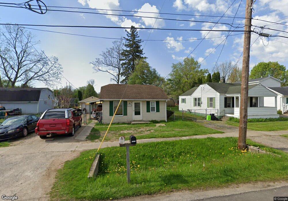
This home is located at 1051 W Scottwood Ave, Flint, MI 48507 and is currently estimated at $99,333. 1051 W Scottwood Ave is a home located in Genesee County with nearby schools including Carman-Ainsworth High School.
Ownership History
Date
Name
Owned For
Owner Type
Purchase Details
Closed on
May 25, 2021
Sold by
35 Brownell Trusts
Bought by
Internatioonal Real Estate Group Llc
Current Estimated Value
Purchase Details
Closed on
Oct 12, 2010
Sold by
Secretary Of Housing & Urban Development
Bought by
Scottwood Land Trust
Purchase Details
Closed on
Apr 5, 2010
Sold by
Bac Home Loans Servicing Lp
Bought by
The Secretary Of Housing & Urban Develop
Purchase Details
Closed on
Mar 3, 2010
Sold by
Hardy Teri and Hardy Randy
Bought by
Bac Home Loans Servicing Lp
Purchase Details
Closed on
Jun 22, 2005
Sold by
Hicks Ronald A and Bower Rosemary J
Bought by
Hardy Teri and Hardy Randy
Create a Home Valuation Report for This Property
The Home Valuation Report is an in-depth analysis detailing your home's value as well as a comparison with similar homes in the area
Home Values in the Area
Average Home Value in this Area
Purchase History
| Date | Buyer | Sale Price | Title Company |
|---|---|---|---|
| Internatioonal Real Estate Group Llc | $344,450 | Bell Title Agency | |
| Scottwood Land Trust | $10,000 | None Available | |
| The Secretary Of Housing & Urban Develop | -- | None Available | |
| Bac Home Loans Servicing Lp | $49,525 | None Available | |
| Hardy Teri | $50,000 | Guaranty Title Company |
Source: Public Records
Tax History Compared to Growth
Tax History
| Year | Tax Paid | Tax Assessment Tax Assessment Total Assessment is a certain percentage of the fair market value that is determined by local assessors to be the total taxable value of land and additions on the property. | Land | Improvement |
|---|---|---|---|---|
| 2025 | $1,389 | $29,900 | $0 | $0 |
| 2024 | $855 | $26,500 | $0 | $0 |
| 2023 | $808 | $22,400 | $0 | $0 |
| 2022 | $477 | $19,100 | $0 | $0 |
| 2021 | $467 | $18,400 | $0 | $0 |
| 2020 | $400 | $15,300 | $0 | $0 |
| 2019 | $395 | $15,100 | $0 | $0 |
| 2018 | $686 | $12,100 | $0 | $0 |
| 2017 | $672 | $12,100 | $0 | $0 |
| 2016 | $676 | $11,100 | $0 | $0 |
| 2015 | $534 | $9,600 | $0 | $0 |
| 2014 | $383 | $9,300 | $0 | $0 |
| 2012 | -- | $14,000 | $14,000 | $0 |
Source: Public Records
Map
Nearby Homes
- 1097 W Buder Ave
- 1051 W Mclean Ave
- 1111 W Mclean Ave
- 1072 W Williamson Ave
- 1108 Trotwood Ln
- 1144 Pickwick Place
- 1203 Pickwick Place
- VACANT Green Briar Blvd
- 4460 Saint Martins Dr
- 4493 Fenton Rd
- 3322 Fenton Rd
- 4480 Cherrytree Ln
- 1247 Catalina Dr
- 1151 Wells St
- 1183 Norton St
- 1186 E Decamp St
- 1044 W Rowland St
- 1136 W Rowland St
- 1219 Norton St
- 1039 Markham St
- 1041 W Scottwood Ave
- 1061 W Scottwood Ave
- 1044 W Buder Ave
- 1058 W Buder Ave
- 1065 W Scottwood Ave
- 1040 W Buder Ave
- 1037 W Scottwood Ave
- 1050 W Scottwood Ave
- 1056 W Scottwood Ave
- 1046 W Scottwood Ave
- 1064 W Buder Ave
- 1060 W Scottwood Ave
- 1040 W Scottwood Ave
- 1049 W Parkwood Ave
- 1045 W Parkwood Ave
- 1066 W Scottwood Ave
- 1036 W Scottwood Ave
- 1032 W Buder Ave
- 1029 W Scottwood Ave
- 1074 W Buder Ave