10510 S State Route 69 -- Mayer, AZ 86333
Mayer NeighborhoodEstimated Value: $97,697
--
Bed
--
Bath
--
Sq Ft
2
Acres
About This Home
This home is located at 10510 S State Route 69 --, Mayer, AZ 86333 and is currently estimated at $97,697. 10510 S State Route 69 -- is a home located in Yavapai County with nearby schools including Mayer Elementary School and Mayer High School.
Ownership History
Date
Name
Owned For
Owner Type
Purchase Details
Closed on
Dec 23, 2021
Sold by
Whiskey River Development Llc
Bought by
Giles Stanley D
Current Estimated Value
Purchase Details
Closed on
May 11, 2021
Sold by
Konobeck Jeff
Bought by
Konobeck Jeff and Konobeck Meghan
Purchase Details
Closed on
May 10, 2021
Sold by
Humphrey Charles A and Humphrey Dixie
Bought by
Konobeck Jeff
Purchase Details
Closed on
Feb 23, 2021
Sold by
Humphrey Charles A and Humphrey Dixie
Bought by
Konobeck Jeff
Purchase Details
Closed on
Jul 18, 2006
Sold by
Mcnally Gerald F and Mc Nally Frances F
Bought by
Humphrey Norman L and Humphrey Patricia E
Purchase Details
Closed on
Dec 30, 2003
Sold by
Humphrey Charles A and Humphrey Dixie L
Bought by
Humphrey Charles A and Humphrey Dixie L
Purchase Details
Closed on
May 29, 2002
Sold by
Sunset Restaurants Inc
Bought by
Humphrey Norman L and Humphrey Patricia E
Create a Home Valuation Report for This Property
The Home Valuation Report is an in-depth analysis detailing your home's value as well as a comparison with similar homes in the area
Home Values in the Area
Average Home Value in this Area
Purchase History
| Date | Buyer | Sale Price | Title Company |
|---|---|---|---|
| Giles Stanley D | $90,000 | Yavapai Title Agency | |
| Whiskey River Development Llc | -- | Yavapai Title Agency | |
| Konobeck Jeff | -- | Yavapai Title Agency | |
| Konobeck Jeff | -- | Yavapai Title | |
| Konobeck Jeff | $25,000 | Yavapai Title | |
| Humphrey Norman L | $10,000 | Accommodation | |
| Humphrey Charles A | -- | -- | |
| Humphrey Norman L | -- | Yavapai Title Agency |
Source: Public Records
Tax History Compared to Growth
Tax History
| Year | Tax Paid | Tax Assessment Tax Assessment Total Assessment is a certain percentage of the fair market value that is determined by local assessors to be the total taxable value of land and additions on the property. | Land | Improvement |
|---|---|---|---|---|
| 2026 | $214 | -- | -- | -- |
| 2024 | $212 | -- | -- | -- |
| 2023 | $212 | $3,878 | $3,878 | $0 |
| 2022 | $207 | $3,096 | $3,096 | $0 |
| 2021 | $213 | $2,646 | $2,646 | $0 |
| 2020 | $206 | $0 | $0 | $0 |
| 2019 | $204 | $0 | $0 | $0 |
| 2018 | $197 | $0 | $0 | $0 |
| 2017 | $192 | $0 | $0 | $0 |
| 2016 | $197 | $0 | $0 | $0 |
| 2015 | -- | $0 | $0 | $0 |
| 2014 | -- | $0 | $0 | $0 |
Source: Public Records
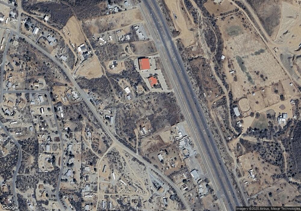
Map
Nearby Homes
- 10700 S Austin Ln
- 13635 E Paloma Trail
- 10603 S Cholla Dr
- 13430 E Summit Ave
- 13400 E High View Rd
- 12955 E Border St
- 13190 E Central Ave
- 13650 E Soleil Down Rd
- 10198 Miami St
- 12996 E Central Ave
- 12921 E Central Ave
- 10022 S Wicks Ave
- 10029 1st St
- 14420 E Jagged Tooth Tr
- 144s S Cobalt Rd Unit 5
- 144s S Cobalt Rd
- 11425 S Hackberry Rd
- 12529 E Central Ave
- 12501 E Central Ave
- 11425 S Hackberry Trail
- 10510 S State Route 69 --
- 10510 S State Route 69 --
- 10510 Az-69
- 10456 S State Route 69
- 10486 S State Route 69
- 10580 S State Route 69 -- S
- 10580 Arizona 69
- 10580 S State Route 69
- 10580 S Highway 69
- 10434 S State Route 69
- 10450 S State Route 69
- 10450 S Highway 69
- 13626 E Main St
- 10630 S State Route 69 --
- 10630 S State Route 69
- 10424 S Highway 69
- 10400 S State Route 69
- 10650 S Austin Ln
- 13670 E Main St
- 10675 S Austin Ln