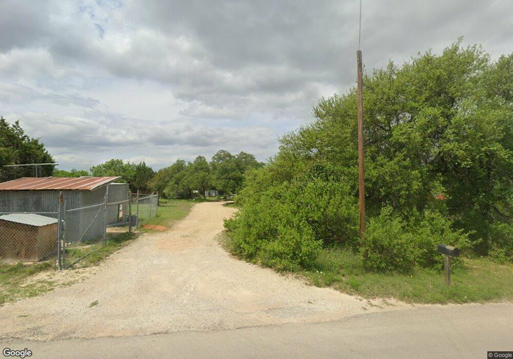
10511 Signal Hill Rd Austin, TX 78737
Estimated Value: $414,000 - $649,000
--
Bed
--
Bath
1,809
Sq Ft
$309/Sq Ft
Est. Value
About This Home
This home is located at 10511 Signal Hill Rd, Austin, TX 78737 and is currently estimated at $558,709, approximately $308 per square foot. 10511 Signal Hill Rd is a home located in Hays County with nearby schools including Sycamore Springs Elementary School, Sycamore Springs Middle, and Dripping Springs High School.
Ownership History
Date
Name
Owned For
Owner Type
Purchase Details
Closed on
Apr 8, 2013
Sold by
Gustafson Mary Ann
Bought by
Dilley Lancie M
Current Estimated Value
Purchase Details
Closed on
Oct 24, 2010
Sold by
Dilley Michael E and Dilley Lancie
Bought by
Dilley Lancie M
Purchase Details
Closed on
Nov 17, 2008
Sold by
Dilley Michael E
Bought by
Dilley Michael E and Dilley Lancie
Create a Home Valuation Report for This Property
The Home Valuation Report is an in-depth analysis detailing your home's value as well as a comparison with similar homes in the area
Home Values in the Area
Average Home Value in this Area
Purchase History
| Date | Buyer | Sale Price | Title Company |
|---|---|---|---|
| Dilley Lancie M | -- | None Available | |
| Dilley Lancie M | -- | -- | |
| Dilley Michael E | -- | Gracy Title Company |
Source: Public Records
Mortgage History
| Date | Status | Borrower | Loan Amount |
|---|---|---|---|
| Closed | Dilley Michael E | $0 |
Source: Public Records
Tax History Compared to Growth
Tax History
| Year | Tax Paid | Tax Assessment Tax Assessment Total Assessment is a certain percentage of the fair market value that is determined by local assessors to be the total taxable value of land and additions on the property. | Land | Improvement |
|---|---|---|---|---|
| 2025 | $3,832 | $348,530 | -- | -- |
| 2024 | $3,832 | $316,845 | $214,460 | $272,950 |
| 2023 | $4,349 | $288,041 | $214,460 | $305,820 |
| 2022 | $4,466 | $261,855 | $109,710 | $277,300 |
| 2021 | $4,454 | $238,050 | $61,440 | $176,610 |
| 2020 | $4,385 | $223,681 | $58,530 | $166,520 |
| 2019 | $4,193 | $203,346 | $58,530 | $153,400 |
| 2018 | $3,833 | $184,860 | $40,240 | $144,620 |
| 2017 | $3,779 | $180,860 | $40,240 | $140,620 |
| 2016 | $3,595 | $172,070 | $40,240 | $131,830 |
| 2015 | $2,964 | $164,880 | $40,240 | $124,640 |
Source: Public Records
Map
Nearby Homes
- 276 Leaning Rock Ridge
- 228 Trickling Brook Rd
- 489 Leaning Rock Ridge
- 134 Leaning Rock Ridge
- 155 Leaning Rock Ridge
- 501 Leaning Rock Ridge
- 500 Leaning Rock Ridge
- 336 Leaning Rock Ridge
- 13555 Nutty Brown Rd
- 0 Broadwing Cove Unit ACT9121874
- 13921 Nutty Brown Rd
- 12800 Old Baldy Trail
- 13409 Madrone Mountain Way
- 9300 N Madrone Trail
- 13109 Madrone Mountain Way
- 10107 Davy Crockett Dr
- 9200 Madrone Cir
- 12932 Nutty Brown Rd
- TBD Anglin Ln
- 14415 Echo Bluff
- 10518 Signal Hill Rd
- 10500 Signal Hill Rd
- 10705 Miller Ln
- 10710 Miller Ln
- 10411 Signal Hill Rd
- 10570 Signal Hill Rd
- 10605 Signal Hill Rd
- 10570 Signal Hill Rd
- 10620 Signal Hill Rd
- 10725 Miller Ln
- 10735 Miller Ln
- 10650 Signal Hill View
- 10631 Signal Hill Rd
- 10720 Miller Ln
- 10234 Signal Hill Rd
- 10745 Miller Ln
- 10226 Signal Hill Rd
- 10722 Miller Ln
- 10755 Miller Ln
- 10656 Signal Hill Rd