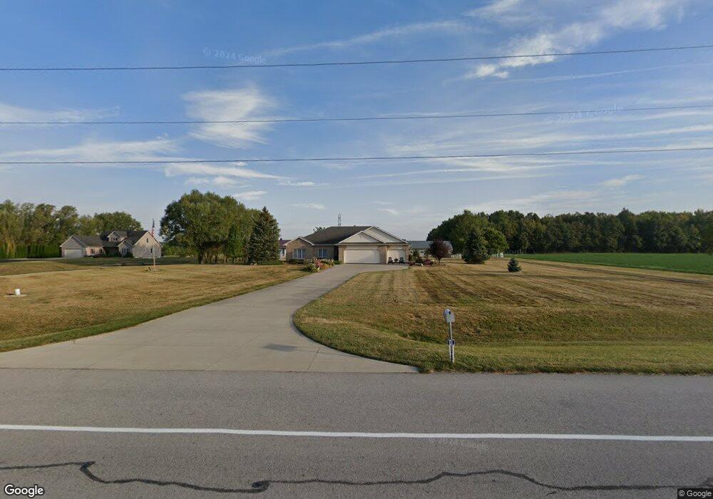
10515 Flutter Rd Fort Wayne, IN 46835
Northeast Fort Wayne NeighborhoodEstimated Value: $374,000 - $483,362
3
Beds
3
Baths
4,398
Sq Ft
$102/Sq Ft
Est. Value
About This Home
This home is located at 10515 Flutter Rd, Fort Wayne, IN 46835 and is currently estimated at $448,091, approximately $101 per square foot. 10515 Flutter Rd is a home located in Allen County with nearby schools including Willard Shambaugh Elementary School, Jefferson Middle School, and Northrop High School.
Ownership History
Date
Name
Owned For
Owner Type
Purchase Details
Closed on
Apr 5, 2017
Sold by
Lengacher Ruby
Bought by
Cain Jon D and Cain Janel S
Current Estimated Value
Home Financials for this Owner
Home Financials are based on the most recent Mortgage that was taken out on this home.
Original Mortgage
$165,641
Outstanding Balance
$136,659
Interest Rate
4.16%
Mortgage Type
New Conventional
Estimated Equity
$311,432
Create a Home Valuation Report for This Property
The Home Valuation Report is an in-depth analysis detailing your home's value as well as a comparison with similar homes in the area
Home Values in the Area
Average Home Value in this Area
Purchase History
| Date | Buyer | Sale Price | Title Company |
|---|---|---|---|
| Cain Jon D | $270,000 | Metropolitan Title Of In |
Source: Public Records
Mortgage History
| Date | Status | Borrower | Loan Amount |
|---|---|---|---|
| Open | Cain Jon D | $165,641 |
Source: Public Records
Tax History
| Year | Tax Paid | Tax Assessment Tax Assessment Total Assessment is a certain percentage of the fair market value that is determined by local assessors to be the total taxable value of land and additions on the property. | Land | Improvement |
|---|---|---|---|---|
| 2025 | $3,191 | $406,100 | $84,300 | $321,800 |
| 2024 | $2,844 | $388,900 | $84,300 | $304,600 |
| 2022 | $2,611 | $312,700 | $62,300 | $250,400 |
| 2021 | $2,571 | $292,600 | $62,300 | $230,300 |
| 2020 | $2,475 | $276,000 | $62,300 | $213,700 |
| 2019 | $2,440 | $263,500 | $62,300 | $201,200 |
| 2018 | $2,357 | $251,900 | $62,300 | $189,600 |
| 2017 | $2,276 | $233,800 | $62,300 | $171,500 |
| 2016 | $2,334 | $235,200 | $62,300 | $172,900 |
| 2014 | $2,059 | $212,200 | $62,300 | $149,900 |
| 2013 | $1,963 | $205,300 | $62,300 | $143,000 |
Source: Public Records
Map
Nearby Homes
- 8849 Schwartz Rd
- 10208 Kilkea Place
- 10354 Cottage Park Cove
- 8130 Schwartz Rd
- 10923 Oaklynn Reserve Blvd
- 10967 Oaklynn Reserve Blvd
- 10901 Oaklynn Reserve Blvd
- 8146 Easthampton Blvd
- 11122 Oaklynn Reserve Blvd
- 7746 Tumnus Trail Unit 70
- 11156 Oaklynn Reserve Blvd
- 11168 Oaklynn Reserve Blvd
- 9836 Gala Cove
- 7885 Sunbeam Cove
- 7864 Sunbeam Cove
- 9488 Fuji Cove
- 10491 Fieldlight Blvd
- 10255 Tirian Place
- 10249 Tirian Place
- 10299 Tirian Place
- 10511 Flutter Rd
- 10510 Flutter Rd
- 10403 Flutter Rd
- 10634 Flutter Rd
- 10323 Flutter Rd
- 10716 Flutter Rd
- 10418 Flutter Rd
- 10430 Flutter Rd
- 10616 Flutter Rd
- 8801 Schwartz Rd
- 0000 Schwartz
- 8910 Schwartz Rd
- 9042 Schwartz Rd
- 8717 Schwartz Rd
- 8728 Legends Pkwy
- 8732 Legends Pkwy
- 8704 Legends Pkwy
- 10221 Flutter Rd
- 8716 Legends Pkwy
- 10231 Carisbrooke Cove
Your Personal Tour Guide
Ask me questions while you tour the home.