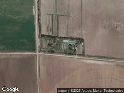
10515 Westside Rd Overton, NE 68863
Estimated Value: $275,982 - $454,000
--
Bed
--
Bath
1,296
Sq Ft
$282/Sq Ft
Est. Value
About This Home
This home is located at 10515 Westside Rd, Overton, NE 68863 and is currently estimated at $364,991, approximately $281 per square foot. 10515 Westside Rd is a home located in Phelps County with nearby schools including Overton Elementary School.
Create a Home Valuation Report for This Property
The Home Valuation Report is an in-depth analysis detailing your home's value as well as a comparison with similar homes in the area
Home Values in the Area
Average Home Value in this Area
Tax History Compared to Growth
Tax History
| Year | Tax Paid | Tax Assessment Tax Assessment Total Assessment is a certain percentage of the fair market value that is determined by local assessors to be the total taxable value of land and additions on the property. | Land | Improvement |
|---|---|---|---|---|
| 2024 | $1,578 | $209,865 | $48,665 | $161,200 |
| 2023 | $2,319 | $199,452 | $48,267 | $151,185 |
| 2022 | $2,372 | $194,774 | $47,974 | $146,800 |
| 2021 | $2,127 | $173,571 | $48,121 | $125,450 |
| 2020 | $1,977 | $166,914 | $48,309 | $118,605 |
| 2019 | $1,789 | $149,009 | $47,824 | $101,185 |
| 2018 | $1,435 | $129,231 | $43,016 | $86,215 |
| 2017 | $1,495 | $121,265 | $36,150 | $85,115 |
| 2016 | $235 | $101,517 | $35,847 | $65,670 |
| 2015 | $137 | $101,517 | $35,847 | $65,670 |
| 2014 | $27 | $77,844 | $31,479 | $46,365 |
| 2013 | $27 | $77,844 | $31,479 | $46,365 |
Source: Public Records
Map
Nearby Homes
- 201 1st St
- 709 Lincoln St
- 205 9th St
- 515 W Boyd Ave
- 230 N Church St
- 431 N Church St
- 142 E Elm Ave
- 7910 Turkey Creek Rd
- 201 Medina Ave
- 73647 A Rd
- Plum Creek Prky (Hwy 283) & W Prospect Rd
- 1109 E 4th St
- 1009 E 4th St
- 1005 E 4th St
- 1002 E 5th St
- 0 Ponderosa Dr
- 709 E 6th St
- 503 N Fillmore St
- 1010 N Tyler St
- 606 S Adams St