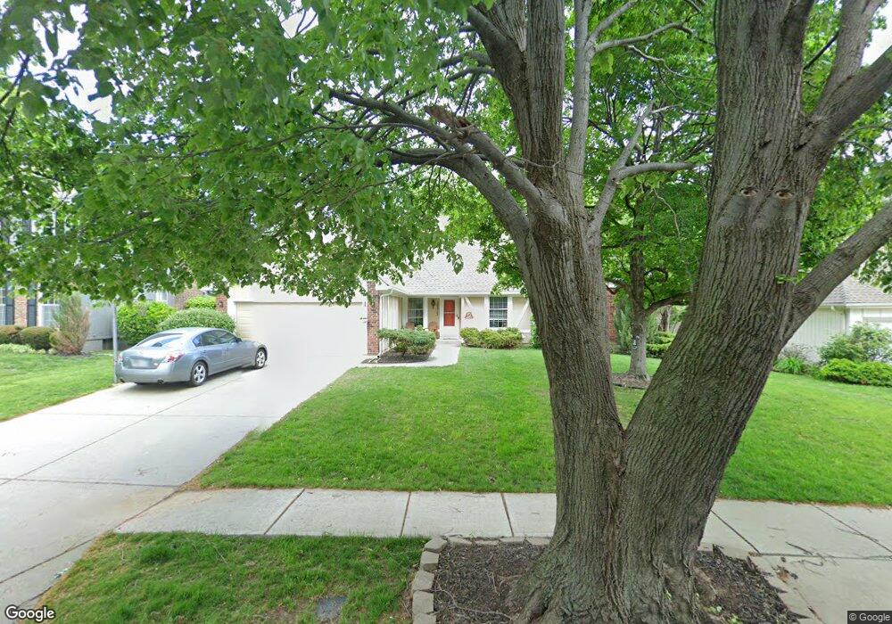
10517 Flint St Overland Park, KS 66214
Oak Park NeighborhoodEstimated Value: $436,000 - $468,000
4
Beds
4
Baths
2,489
Sq Ft
$184/Sq Ft
Est. Value
About This Home
This home is located at 10517 Flint St, Overland Park, KS 66214 and is currently estimated at $456,857, approximately $183 per square foot. 10517 Flint St is a home located in Johnson County with nearby schools including Oak Park-Carpenter Elementary School, Shawnee Mission South High School, and Indian Woods Middle School.
Ownership History
Date
Name
Owned For
Owner Type
Purchase Details
Closed on
May 4, 2001
Sold by
Gray Donald C and Gray Debra K
Bought by
Multer Stephen and Multer Leslie N
Current Estimated Value
Home Financials for this Owner
Home Financials are based on the most recent Mortgage that was taken out on this home.
Original Mortgage
$157,200
Outstanding Balance
$56,393
Interest Rate
6.5%
Estimated Equity
$400,464
Create a Home Valuation Report for This Property
The Home Valuation Report is an in-depth analysis detailing your home's value as well as a comparison with similar homes in the area
Home Values in the Area
Average Home Value in this Area
Purchase History
| Date | Buyer | Sale Price | Title Company |
|---|---|---|---|
| Multer Stephen | -- | Stewart Title |
Source: Public Records
Mortgage History
| Date | Status | Borrower | Loan Amount |
|---|---|---|---|
| Open | Multer Stephen | $157,200 |
Source: Public Records
Tax History Compared to Growth
Tax History
| Year | Tax Paid | Tax Assessment Tax Assessment Total Assessment is a certain percentage of the fair market value that is determined by local assessors to be the total taxable value of land and additions on the property. | Land | Improvement |
|---|---|---|---|---|
| 2024 | $4,483 | $46,322 | $9,760 | $36,562 |
| 2023 | $4,267 | $43,539 | $9,760 | $33,779 |
| 2022 | $4,027 | $41,377 | $9,760 | $31,617 |
| 2021 | $3,816 | $37,352 | $7,803 | $29,549 |
| 2020 | $3,585 | $35,132 | $6,787 | $28,345 |
| 2019 | $3,228 | $31,671 | $5,230 | $26,441 |
| 2018 | $3,074 | $30,038 | $5,230 | $24,808 |
| 2017 | $3,008 | $28,911 | $5,230 | $23,681 |
| 2016 | $2,861 | $27,059 | $5,230 | $21,829 |
| 2015 | $2,728 | $26,323 | $5,230 | $21,093 |
| 2013 | -- | $23,839 | $5,230 | $18,609 |
Source: Public Records
Map
Nearby Homes
- 10532 Bond St
- 11445 W 106th St
- 10311 Garnett St
- 12230 W 105th St
- 10634 W 102nd Terrace
- 11608 W 101st St
- 10416 Caenen Dr
- 11807 W 99th Place
- 12006 W 101st St
- 12321 W 102nd St
- 10175 Switzer St
- 10561 Long St
- 12022 W 100th St
- 12315 W 107th Terrace
- 10786 Westgate Rd
- 11224 Nieman Rd Unit 202
- 10630 W 99th St
- 10713 W 98th Terrace
- 9805 W 104th Terrace
- 10807 W 98th St
- 10513 Flint St
- 10521 Flint St
- 10520 King St
- 10518 King St
- 10525 Flint St
- 10509 Flint St
- 10514 King St
- 10526 King St
- 11403 W 105th Terrace
- 10529 Flint St
- 10510 King St
- 10506 Flint St
- 10505 Flint St
- 10530 King St
- 10526 Flint St
- 11407 W 105th Terrace
- 11404 W 105th Terrace
- 10506 King St
- 10534 King St
- 10530 Flint St