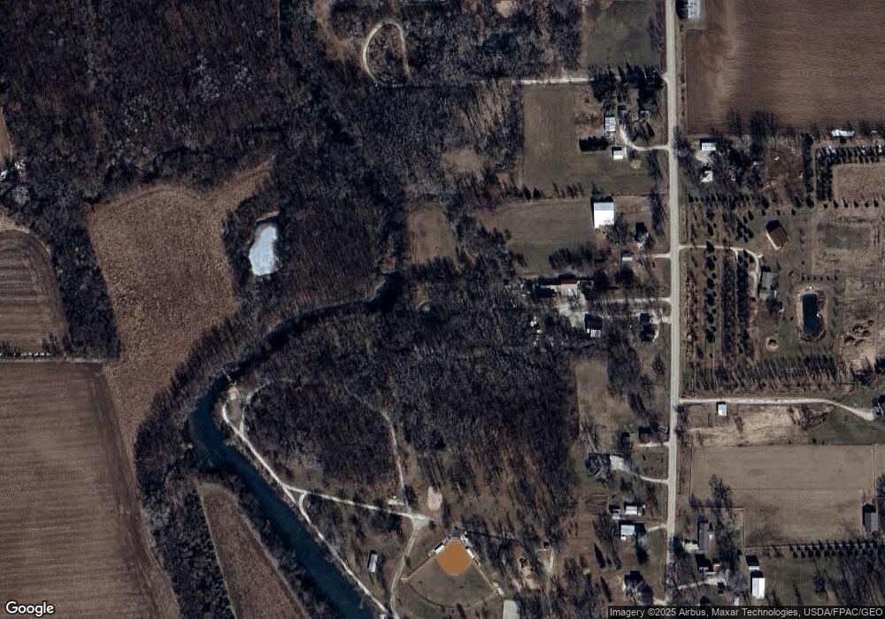
10519 Neon Rd Maynard, IA 50655
Estimated Value: $233,000 - $296,000
3
Beds
2
Baths
1,296
Sq Ft
$212/Sq Ft
Est. Value
About This Home
This home is located at 10519 Neon Rd, Maynard, IA 50655 and is currently estimated at $274,824, approximately $212 per square foot. 10519 Neon Rd is a home located in Fayette County with nearby schools including West Central Community School and West Central Charter High School.
Ownership History
Date
Name
Owned For
Owner Type
Purchase Details
Closed on
Apr 30, 2015
Sold by
Reed Eugene V and Reed Evelyn M
Bought by
Cole Justin R and Cole Crystal J
Current Estimated Value
Home Financials for this Owner
Home Financials are based on the most recent Mortgage that was taken out on this home.
Original Mortgage
$164,900
Outstanding Balance
$127,081
Interest Rate
3.77%
Mortgage Type
Commercial
Estimated Equity
$147,743
Create a Home Valuation Report for This Property
The Home Valuation Report is an in-depth analysis detailing your home's value as well as a comparison with similar homes in the area
Home Values in the Area
Average Home Value in this Area
Purchase History
| Date | Buyer | Sale Price | Title Company |
|---|---|---|---|
| Cole Justin R | $170,000 | None Available |
Source: Public Records
Mortgage History
| Date | Status | Borrower | Loan Amount |
|---|---|---|---|
| Open | Cole Justin R | $164,900 |
Source: Public Records
Tax History Compared to Growth
Tax History
| Year | Tax Paid | Tax Assessment Tax Assessment Total Assessment is a certain percentage of the fair market value that is determined by local assessors to be the total taxable value of land and additions on the property. | Land | Improvement |
|---|---|---|---|---|
| 2025 | $2,608 | $257,980 | $38,590 | $219,390 |
| 2024 | $2,608 | $224,260 | $35,000 | $189,260 |
| 2023 | $2,558 | $224,260 | $35,000 | $189,260 |
| 2022 | $2,326 | $177,840 | $28,750 | $149,090 |
| 2021 | $2,326 | $177,840 | $28,750 | $149,090 |
| 2020 | $2,862 | $209,300 | $33,140 | $176,160 |
| 2019 | $2,728 | $191,380 | $0 | $0 |
| 2018 | $2,736 | $191,380 | $0 | $0 |
| 2017 | $2,336 | $150,770 | $0 | $0 |
| 2016 | $1,838 | $124,200 | $0 | $0 |
| 2015 | $1,838 | $0 | $0 | $0 |
| 2014 | $1,746 | $0 | $0 | $0 |
Source: Public Records
Map
Nearby Homes