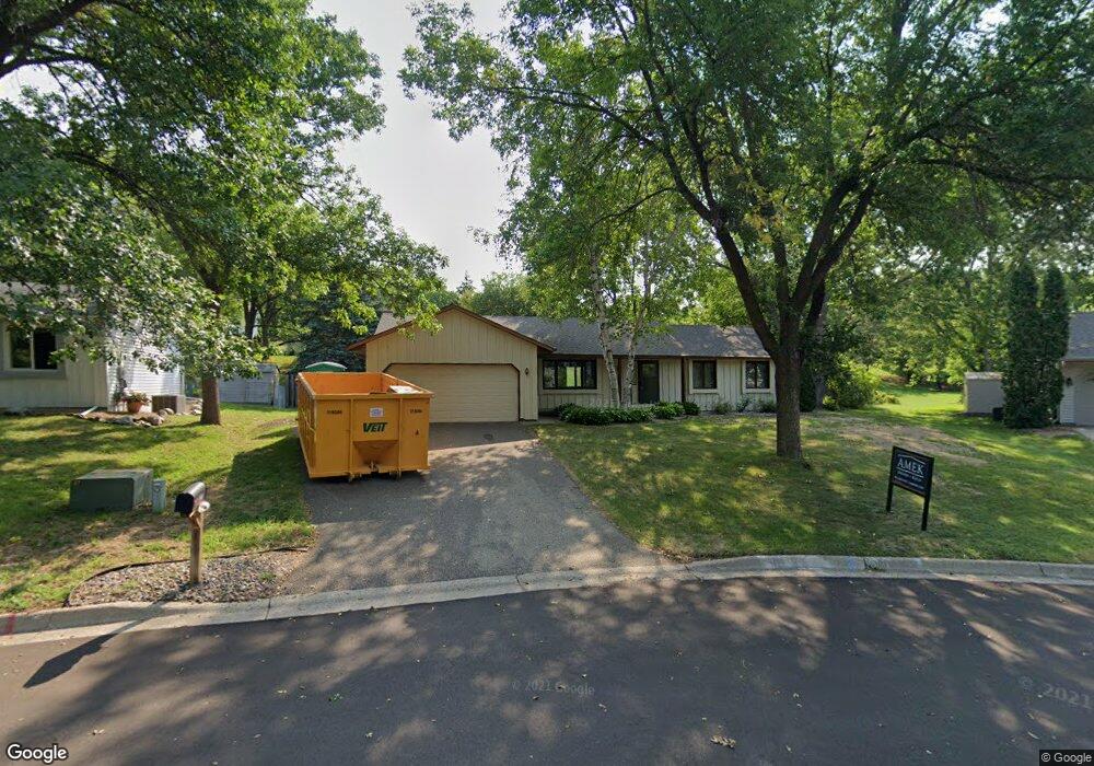
10519 Xylon Rd S Bloomington, MN 55438
West Bloomington NeighborhoodEstimated Value: $459,000 - $498,000
3
Beds
2
Baths
2,070
Sq Ft
$227/Sq Ft
Est. Value
About This Home
This home is located at 10519 Xylon Rd S, Bloomington, MN 55438 and is currently estimated at $470,789, approximately $227 per square foot. 10519 Xylon Rd S is a home located in Hennepin County with nearby schools including Normandale Hills Elementary School, Olson Middle School, and Jefferson Senior High School.
Ownership History
Date
Name
Owned For
Owner Type
Purchase Details
Closed on
May 15, 2015
Sold by
Norris Jeffrey J and Norris Denise C
Bought by
Lind Jeffrey R and Kneeland Veronica J
Current Estimated Value
Home Financials for this Owner
Home Financials are based on the most recent Mortgage that was taken out on this home.
Original Mortgage
$219,900
Outstanding Balance
$169,034
Interest Rate
3.62%
Mortgage Type
New Conventional
Estimated Equity
$301,755
Create a Home Valuation Report for This Property
The Home Valuation Report is an in-depth analysis detailing your home's value as well as a comparison with similar homes in the area
Home Values in the Area
Average Home Value in this Area
Purchase History
| Date | Buyer | Sale Price | Title Company |
|---|---|---|---|
| Lind Jeffrey R | $274,900 | Edina Realty Title Inc |
Source: Public Records
Mortgage History
| Date | Status | Borrower | Loan Amount |
|---|---|---|---|
| Open | Lind Jeffrey R | $219,900 |
Source: Public Records
Tax History Compared to Growth
Tax History
| Year | Tax Paid | Tax Assessment Tax Assessment Total Assessment is a certain percentage of the fair market value that is determined by local assessors to be the total taxable value of land and additions on the property. | Land | Improvement |
|---|---|---|---|---|
| 2024 | $5,813 | $449,900 | $165,900 | $284,000 |
| 2023 | $5,586 | $460,300 | $176,300 | $284,000 |
| 2022 | $4,448 | $437,500 | $155,400 | $282,100 |
| 2021 | $4,049 | $348,600 | $136,700 | $211,900 |
| 2020 | $4,133 | $322,700 | $132,800 | $189,900 |
| 2019 | $3,828 | $320,200 | $132,800 | $187,400 |
| 2018 | $3,754 | $293,600 | $128,700 | $164,900 |
| 2017 | $3,547 | $269,900 | $115,500 | $154,400 |
| 2016 | $3,695 | $267,100 | $115,600 | $151,500 |
| 2015 | $3,664 | $255,800 | $112,200 | $143,600 |
| 2014 | -- | $235,000 | $108,800 | $126,200 |
Source: Public Records
Map
Nearby Homes
- 7920 W 107th Street Cir
- 10707 Yukon Ave S
- 10433 Utah Rd
- 7534 Landau Dr
- 10462 Decatur Ave S
- 10405 Decatur Ave S
- 8149 W 103rd St
- 10434 Decatur Ave S
- 10170 Utah Ave S
- 9579 Falcons Way
- 7401 Landau Dr Unit 12
- 10907 Rhode Island Ave S
- 10911 Rhode Island Ave S
- 7256 Woodstock Dr
- 7518 W 110th St
- 7321 Woodstock Curve
- 7525 W 110th St Unit 7
- 10417 Fawns Way
- 8022 W 111th St Unit 8022
- 7471 W 110th St
- 10513 Xylon Rd S
- 10525 Xylon Rd S
- 10524 Wyoming Ave S
- 10532 Wyoming Ave S
- 10516 Wyoming Ave S
- 10507 Xylon Rd S
- 10540 Wyoming Ave S
- 10531 Xylon Rd S
- 10516 Xylon Rd S
- 10508 Wyoming Ave S
- 10501 Xylon Rd S
- 10537 Xylon Rd S
- 10508 Xylon Rd S
- 10524 Xylon Rd S
- 10500 Wyoming Ave S
- 10601 Yukon Rd S
- 10525 Wyoming Ave S
- 10533 Wyoming Ave S
- 10600 Yukon Rd S
- 10500 Xylon Rd S