1052 Laurel Wood Dr Morgantown, WV 26508
Estimated Value: $380,000 - $557,000
4
Beds
3
Baths
4,087
Sq Ft
$118/Sq Ft
Est. Value
About This Home
This home is located at 1052 Laurel Wood Dr, Morgantown, WV 26508 and is currently estimated at $482,948, approximately $118 per square foot. 1052 Laurel Wood Dr is a home located in Monongalia County with nearby schools including Ridgedale Elementary School, South Middle School, and Morgantown High School.
Ownership History
Date
Name
Owned For
Owner Type
Purchase Details
Closed on
Feb 23, 2005
Sold by
Montain Crest Properties Llc
Bought by
Waigand Edward C and Waigand Bonnie A
Current Estimated Value
Home Financials for this Owner
Home Financials are based on the most recent Mortgage that was taken out on this home.
Original Mortgage
$240,000
Outstanding Balance
$116,645
Interest Rate
4.99%
Mortgage Type
Adjustable Rate Mortgage/ARM
Estimated Equity
$366,303
Create a Home Valuation Report for This Property
The Home Valuation Report is an in-depth analysis detailing your home's value as well as a comparison with similar homes in the area
Home Values in the Area
Average Home Value in this Area
Purchase History
| Date | Buyer | Sale Price | Title Company |
|---|---|---|---|
| Waigand Edward C | $870,000 | None Available |
Source: Public Records
Mortgage History
| Date | Status | Borrower | Loan Amount |
|---|---|---|---|
| Open | Waigand Edward C | $240,000 |
Source: Public Records
Tax History Compared to Growth
Tax History
| Year | Tax Paid | Tax Assessment Tax Assessment Total Assessment is a certain percentage of the fair market value that is determined by local assessors to be the total taxable value of land and additions on the property. | Land | Improvement |
|---|---|---|---|---|
| 2024 | $2,195 | $207,120 | $41,040 | $166,080 |
| 2023 | $2,207 | $207,120 | $41,040 | $166,080 |
| 2022 | $2,092 | $204,120 | $41,040 | $163,080 |
| 2021 | $2,102 | $204,120 | $41,040 | $163,080 |
| 2020 | $2,129 | $205,800 | $41,040 | $164,760 |
| 2019 | $2,013 | $193,260 | $61,500 | $131,760 |
| 2018 | $2,020 | $193,260 | $61,500 | $131,760 |
| 2017 | $2,009 | $191,220 | $58,140 | $133,080 |
| 2016 | $2,022 | $191,220 | $58,140 | $133,080 |
| 2015 | $1,729 | $171,000 | $58,140 | $112,860 |
| 2014 | $1,649 | $171,000 | $58,140 | $112,860 |
Source: Public Records
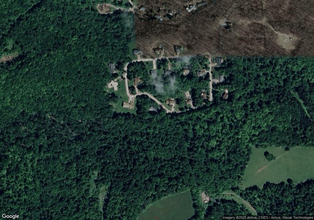
Map
Nearby Homes
- TBD Blue Sky Ln
- TBD Blue Sky LN Blue Sky Ln
- 105 Lockwood Dr
- 107 Lockwood Dr
- 100 Lockwood Dr
- 00 Camp Mountaineer Rd
- 0 Camp Mountaineer Rd
- 15 Molisee Rd
- TBD Humphreys Rd
- 53 Owl St
- 52 Owl St
- 100 Landing Dr
- 3228 Ridgedale Rd
- TBD Jackie Brown Rd
- Lot 10 Eagle Butte Way
- Lot 22 Eagle Butte Way
- Lot 13 Eagle Butte Way
- Lot 18 Eagle Butte Way
- Lot 17 Bear Butte Way
- Lot 21 Eagle Butte Way
- 1055 Laurel Wood Dr
- 1046 Laurel Wood Dr
- 1025 Laurel Wood Dr
- 1039 Laurel Wood Dr
- 1059 Laurel Wood Dr
- 1021 Laurel Wood Dr
- 1017 Laurel Wood Dr
- 1065 Laurel Wood Dr
- 1034 Laurel Wood Dr
- 1022 Laurel Wood Dr
- 1030 Laurel Wood Dr
- 1013 Laurel Wood Dr
- 1012 Laurel Wood Dr
- 1068 Laurel Wood Dr
- 1009 Laurel Wood Dr
- 190 Buckingham Rd
- 189 Buckingham Rd
- 27 England Rd
- 28 England Rd
- 71 Buckingham Rd