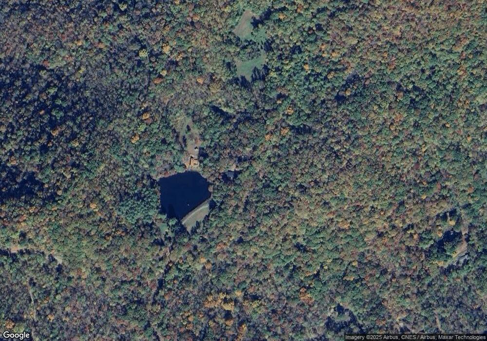
1052 Watson Branch Rd Cullowhee, NC 28723
Estimated Value: $221,000 - $413,000
3
Beds
2
Baths
1,248
Sq Ft
$262/Sq Ft
Est. Value
About This Home
This home is located at 1052 Watson Branch Rd, Cullowhee, NC 28723 and is currently estimated at $327,150, approximately $262 per square foot. 1052 Watson Branch Rd is a home with nearby schools including Cullowhee Valley School and Smoky Mountain High School.
Ownership History
Date
Name
Owned For
Owner Type
Purchase Details
Closed on
Feb 19, 2021
Sold by
Lenderman Jerod K and Lenderman Katie M
Bought by
Saunders Michael Steven and Saunders Rosemary M
Current Estimated Value
Home Financials for this Owner
Home Financials are based on the most recent Mortgage that was taken out on this home.
Original Mortgage
$119,000
Outstanding Balance
$106,340
Interest Rate
2.65%
Mortgage Type
Future Advance Clause Open End Mortgage
Estimated Equity
$220,810
Purchase Details
Closed on
Aug 14, 2019
Sold by
Kirk William H and Kik Alice M
Bought by
Lenderman Katie M
Purchase Details
Closed on
Nov 19, 2015
Sold by
Kirk Alice Josephine Mcguire and Kirk Alilce M
Bought by
Kirk William H and Kirk Alice M
Create a Home Valuation Report for This Property
The Home Valuation Report is an in-depth analysis detailing your home's value as well as a comparison with similar homes in the area
Home Values in the Area
Average Home Value in this Area
Purchase History
| Date | Buyer | Sale Price | Title Company |
|---|---|---|---|
| Saunders Michael Steven | -- | None Available | |
| Lenderman Katie M | $110,000 | -- | |
| Kirk William H | -- | None Available |
Source: Public Records
Mortgage History
| Date | Status | Borrower | Loan Amount |
|---|---|---|---|
| Open | Saunders Michael Steven | $119,000 |
Source: Public Records
Tax History Compared to Growth
Tax History
| Year | Tax Paid | Tax Assessment Tax Assessment Total Assessment is a certain percentage of the fair market value that is determined by local assessors to be the total taxable value of land and additions on the property. | Land | Improvement |
|---|---|---|---|---|
| 2025 | $1,213 | $319,120 | $97,630 | $221,490 |
| 2024 | $838 | $220,500 | $91,550 | $128,950 |
| 2023 | $963 | $220,500 | $91,550 | $128,950 |
| 2022 | $963 | $220,500 | $91,550 | $128,950 |
| 2021 | $838 | $220,500 | $91,550 | $128,950 |
| 2020 | $897 | $214,060 | $142,220 | $71,840 |
| 2019 | $897 | $214,060 | $142,220 | $71,840 |
| 2018 | $897 | $214,060 | $142,220 | $71,840 |
| 2017 | $876 | $214,060 | $142,220 | $71,840 |
| 2015 | $712 | $214,060 | $142,220 | $71,840 |
| 2011 | -- | $224,270 | $116,900 | $107,370 |
Source: Public Records
Map
Nearby Homes
- Lt 3 Falling Waters Rd
- 2611 Wayehutta Rd
- 2360 Wayehutta Rd
- Lot 80 Cane Creek Ridge
- 74 Quest Ridge None
- 1635 Quest Ridge None
- 1635 Quest Ridge
- 00 Falling Leaf Trail
- 96 Brentwood Trail
- 1283 Leafstone Cir
- 97 Hosta Dr
- Lot 97 Hosta Dr
- Lot 8 Bayside Dr Unit 8
- Bayside Dr
- 8 Bayside Dr
- 000 Crackin Chestnut Ln
- 00 Crackin Chestnut Ln
- 32 Black Mountain Rd
- 00 E Wabash Dr
- 79 Slumber Ln
- 684 Spectrum Ln
- 516 Spectrum Ln
- 334 Cheerful Cove
- 12 Si Knob Rd
- 285 Cheerful Cove
- 568 Cheerful Cove
- 645 Si Knob Rd
- 181 Carefree Ln
- 29 Twin Fiddler Dr
- 89 Cheerful Cove
- 5 Twin Fiddler Dr
- 28 Spectrum Ln
- 3847 Wayehutta Rd
- 3505 Wayehutta Rd
- 3147 Wayehutta Rd
- 3218 Wayehutta Rd
- 85 Carefree Ln
- 39 Carefree Ln
- 3845 Wayehutta Rd
- 3604 Wayehutta Rd
