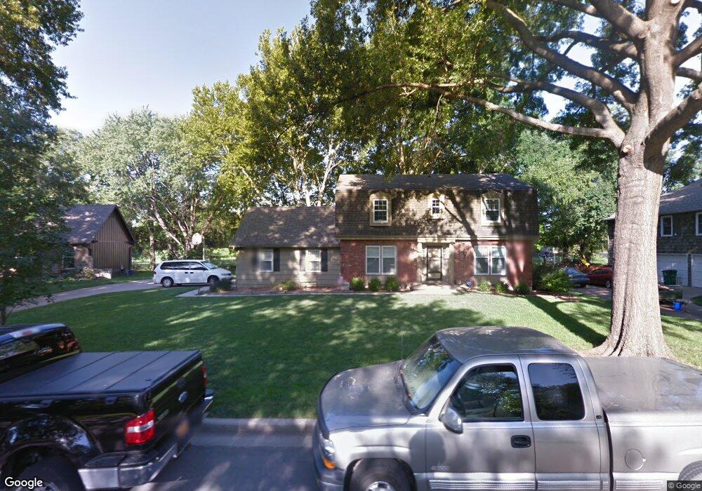
10520 Mohawk Ln Leawood, KS 66206
Estimated Value: $506,000 - $584,776
4
Beds
3
Baths
2,090
Sq Ft
$259/Sq Ft
Est. Value
About This Home
This home is located at 10520 Mohawk Ln, Leawood, KS 66206 and is currently estimated at $540,694, approximately $258 per square foot. 10520 Mohawk Ln is a home located in Johnson County with nearby schools including Brookwood Elementary School, Shawnee Mission South High School, and Indian Woods Middle School.
Ownership History
Date
Name
Owned For
Owner Type
Purchase Details
Closed on
Jun 26, 2009
Sold by
Longmire William C and Longmire James A
Bought by
Rosenbaum John R and Rosenbaum Sheri L
Current Estimated Value
Home Financials for this Owner
Home Financials are based on the most recent Mortgage that was taken out on this home.
Original Mortgage
$182,590
Outstanding Balance
$116,291
Interest Rate
4.84%
Mortgage Type
Purchase Money Mortgage
Estimated Equity
$424,403
Create a Home Valuation Report for This Property
The Home Valuation Report is an in-depth analysis detailing your home's value as well as a comparison with similar homes in the area
Home Values in the Area
Average Home Value in this Area
Purchase History
| Date | Buyer | Sale Price | Title Company |
|---|---|---|---|
| Rosenbaum John R | -- | Kansas City Title |
Source: Public Records
Mortgage History
| Date | Status | Borrower | Loan Amount |
|---|---|---|---|
| Open | Rosenbaum John R | $182,590 |
Source: Public Records
Tax History Compared to Growth
Tax History
| Year | Tax Paid | Tax Assessment Tax Assessment Total Assessment is a certain percentage of the fair market value that is determined by local assessors to be the total taxable value of land and additions on the property. | Land | Improvement |
|---|---|---|---|---|
| 2024 | $4,989 | $47,529 | $16,968 | $30,561 |
| 2023 | $5,099 | $47,966 | $16,968 | $30,998 |
| 2022 | $3,927 | $37,145 | $14,758 | $22,387 |
| 2021 | $3,483 | $31,533 | $13,410 | $18,123 |
| 2020 | $3,479 | $31,027 | $12,182 | $18,845 |
| 2019 | $3,080 | $27,589 | $11,077 | $16,512 |
| 2018 | $2,714 | $24,265 | $10,076 | $14,189 |
| 2017 | $2,848 | $25,047 | $9,162 | $15,885 |
| 2016 | $2,720 | $23,633 | $7,329 | $16,304 |
| 2015 | $2,592 | $22,713 | $7,337 | $15,376 |
| 2013 | -- | $21,896 | $6,660 | $15,236 |
Source: Public Records
Map
Nearby Homes
- 10425 Mohawk Ln
- 10531 Mission Rd Unit 312
- 10531 Mission Rd Unit 310
- 10511 Mission Rd Unit 211A
- 10408 Howe Ln
- 10332 Cherokee Ln
- 4009 W 110th St
- 10316 Howe Dr
- 10314 Manor Rd
- 10501 Sagamore Rd
- 4328 W 110th St
- 10315 High Dr
- 10314 Sagamore Ln
- 10310 Sagamore Ln
- 2301 W 103rd St
- 10318 Sagamore Rd
- 2209 W 103rd St
- 11425 Canterbury Cir
- 3905 W 101st Terrace
- 10221 El Monte St
- 10516 Mohawk Ln
- 10524 Mohawk Ln
- 10521 Mohawk Ln
- 10512 Mohawk Ln
- 10519 Mohawk Ln
- 10528 Mohawk Ln
- 10525 Mohawk Ln
- 10515 Mohawk Ln
- 10508 Mohawk Ln
- 10520 Pawnee Ln
- 10524 Pawnee Ln
- 10516 Pawnee Ln
- 10509 Mohawk Ln
- 10512 Pawnee Ln
- 10504 Mohawk Ln
- 10528 Pawnee Ln
- 10508 Pawnee Ln
- 10505 Mohawk Ln
- 10521 Pawnee Ln
- 10519 Pawnee Ln