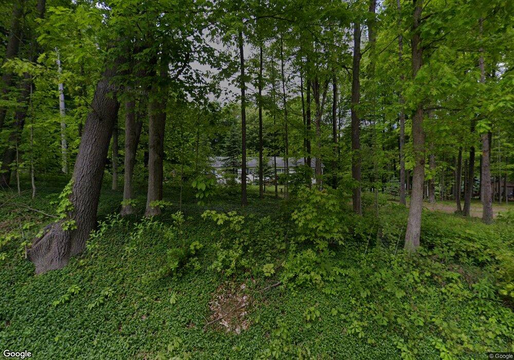
10521 N-Drive N Battle Creek, MI 49014
Estimated Value: $190,000 - $322,000
3
Beds
2
Baths
1,792
Sq Ft
$143/Sq Ft
Est. Value
About This Home
This home is located at 10521 N-Drive N, Battle Creek, MI 49014 and is currently estimated at $256,000, approximately $142 per square foot. 10521 N-Drive N is a home located in Calhoun County with nearby schools including Pennfield Dunlap Elementary School, Pennfield Purdy School, and Pennfield Middle School.
Ownership History
Date
Name
Owned For
Owner Type
Purchase Details
Closed on
Sep 30, 1997
Sold by
Ackerman Betty
Bought by
Busscher Darrell and Busscher Myra
Current Estimated Value
Purchase Details
Closed on
Dec 1, 1993
Create a Home Valuation Report for This Property
The Home Valuation Report is an in-depth analysis detailing your home's value as well as a comparison with similar homes in the area
Home Values in the Area
Average Home Value in this Area
Purchase History
| Date | Buyer | Sale Price | Title Company |
|---|---|---|---|
| Busscher Darrell | $70,000 | -- | |
| -- | $13,000 | -- |
Source: Public Records
Tax History Compared to Growth
Tax History
| Year | Tax Paid | Tax Assessment Tax Assessment Total Assessment is a certain percentage of the fair market value that is determined by local assessors to be the total taxable value of land and additions on the property. | Land | Improvement |
|---|---|---|---|---|
| 2025 | $3,195 | $145,000 | $0 | $0 |
| 2024 | $1,454 | $125,100 | $0 | $0 |
| 2023 | $2,818 | $111,640 | $0 | $0 |
| 2022 | $1,319 | $100,380 | $0 | $0 |
| 2021 | $2,768 | $93,510 | $0 | $0 |
| 2020 | $2,722 | $83,860 | $0 | $0 |
| 2019 | $2,630 | $79,180 | $0 | $0 |
| 2018 | $2,421 | $73,740 | $9,210 | $64,530 |
| 2017 | $0 | $67,100 | $0 | $0 |
| 2016 | $0 | $65,630 | $0 | $0 |
| 2015 | -- | $64,970 | $16,682 | $48,288 |
| 2014 | -- | $59,750 | $16,682 | $43,068 |
Source: Public Records
Map
Nearby Homes
- 19016 11 Mile Rd
- Integrity 1605 Plan at Loganwood Acres - North
- Integrity 1250 Plan at Loganwood Acres - North
- Elements 2390 Plan at Loganwood Acres - North
- integrity 2280 Plan at Loganwood Acres - North
- Integrity 2061 V8.1a Plan at Loganwood Acres - North
- Elements 2090 Plan at Loganwood Acres - North
- Integrity 2060 Plan at Loganwood Acres - North
- Elements 2200 Plan at Loganwood Acres - North
- Integrity 2190 Plan at Loganwood Acres - North
- Integrity 1530 Plan at Loganwood Acres - North
- Elements 2700 Plan at Loganwood Acres - North
- Integrity 1610 Plan at Loganwood Acres - North
- 18248 Loganwood Trail
- 18264 Loganwood Trail
- 9604 Natala Ln
- 20291 Chippewa Trail
- 20259 Pine Lake Rd
- 0 Gavin Ln Unit 17
- 11864 Gorsline Rd
- 10505 Gorsline Rd
- 10417 Gorsline Rd
- 10511 Gorsline Rd
- 10765 Gorsline Rd
- 0 N-Drive N
- 10450 Gorsline Rd
- 10500 Gorsline Rd
- 10521 Gorsline Rd
- 10501 Gorsline Rd
- 10391 Gorsline Rd
- 10391 Gorsline Rd
- 10555 Gorsline Rd
- 10293 Gorsline Rd
- 10509 Gorsline Rd
- 10580 Gorsline Rd
- 10659 Gorsline Rd
- 10251 Gorsline Rd
- 10654 Gorsline Rd
- 10664 Gorsline Rd
- 10231 Gorsline Rd