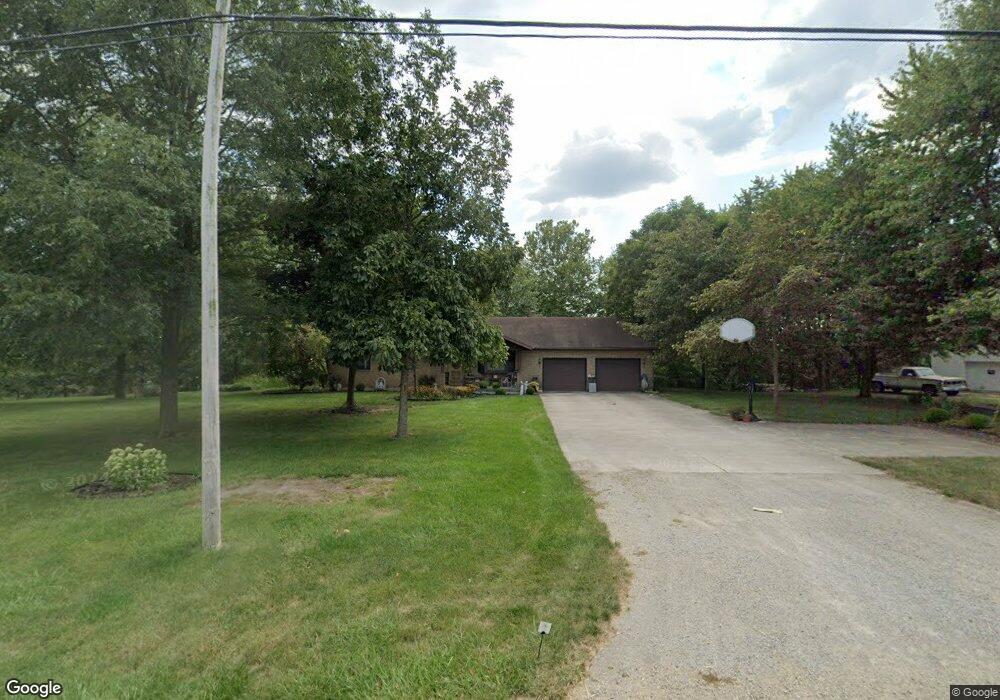
10525 State Route 185 Versailles, OH 45380
Estimated Value: $274,000 - $324,444
3
Beds
2
Baths
1,658
Sq Ft
$180/Sq Ft
Est. Value
About This Home
This home is located at 10525 State Route 185, Versailles, OH 45380 and is currently estimated at $298,861, approximately $180 per square foot. 10525 State Route 185 is a home located in Darke County with nearby schools including Versailles Elementary School, Versailles Middle School, and Versailles High School.
Ownership History
Date
Name
Owned For
Owner Type
Purchase Details
Closed on
Sep 17, 2021
Sold by
Martino Lawrence E and Martino Diane M
Bought by
Martino Lawrence E and Martino Diane M
Current Estimated Value
Home Financials for this Owner
Home Financials are based on the most recent Mortgage that was taken out on this home.
Original Mortgage
$90,000
Outstanding Balance
$68,698
Interest Rate
2.1%
Mortgage Type
New Conventional
Estimated Equity
$230,164
Purchase Details
Closed on
Mar 1, 1987
Bought by
Martino Lawrence E and Martino Diane M
Create a Home Valuation Report for This Property
The Home Valuation Report is an in-depth analysis detailing your home's value as well as a comparison with similar homes in the area
Home Values in the Area
Average Home Value in this Area
Purchase History
| Date | Buyer | Sale Price | Title Company |
|---|---|---|---|
| Martino Lawrence E | -- | None Available | |
| Martino Lawrence E | $25,000 | -- |
Source: Public Records
Mortgage History
| Date | Status | Borrower | Loan Amount |
|---|---|---|---|
| Open | Martino Lawrence E | $90,000 |
Source: Public Records
Tax History Compared to Growth
Tax History
| Year | Tax Paid | Tax Assessment Tax Assessment Total Assessment is a certain percentage of the fair market value that is determined by local assessors to be the total taxable value of land and additions on the property. | Land | Improvement |
|---|---|---|---|---|
| 2024 | $2,849 | $86,290 | $8,890 | $77,400 |
| 2023 | $2,853 | $86,290 | $8,890 | $77,400 |
| 2022 | $2,224 | $69,350 | $7,560 | $61,790 |
| 2021 | $2,328 | $69,350 | $7,560 | $61,790 |
| 2020 | $2,340 | $69,350 | $7,560 | $61,790 |
| 2019 | $1,918 | $56,990 | $7,560 | $49,430 |
| 2018 | $1,928 | $56,990 | $7,560 | $49,430 |
| 2017 | $1,595 | $56,990 | $7,560 | $49,430 |
| 2016 | $1,597 | $50,130 | $7,100 | $43,030 |
| 2015 | $1,597 | $50,130 | $7,100 | $43,030 |
| 2014 | $1,680 | $50,130 | $7,100 | $43,030 |
| 2013 | $1,723 | $47,800 | $6,820 | $40,980 |
Source: Public Records
Map
Nearby Homes
- 0 St Rt 121 Unit 10041143
- 632 N Center St
- 631 N Center St
- 552 Reed Ave
- 546 Reed Ave
- 59 W Ward St
- 547 Reed Ave
- 0 Ohio 121
- 129 E Wood St
- 16 E Ward St
- 435 Reed Ave
- 447 Reed Ave
- 304 E Wood St
- 0000 Marker Rd
- 00 State Route 121
- 8839 Murphy Rd
- Tract 4 Rd
- 9072 Stillwater Dr
- 8832 State Route 185
- 8363 Horatio-New Harrison Rd
- 378 Catalpa Dr
- 1007 Jackson St
- 387 Catalpa Dr
- 346 Catalpa Dr
- 971 Jackson St
- 991 Jackson St
- 37 Hiawatha Ct
- 1110 Baker Rd
- 355 Catalpa Dr
- 10575 State Route 185
- 15 Hiawatha Ct
- 955 Jackson St
- 51 Hiawatha Ct
- 1094 Baker Rd
- 1080 Baker Rd
- 341 Catalpa Dr
- 63 Hiawatha Ct
- 1064 Baker Rd
- 943 Jackson St
- 1046 Baker Rd