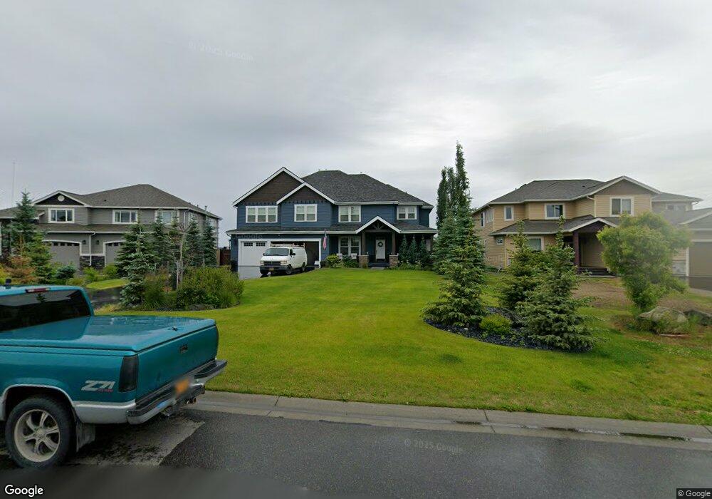
10526 Whitby Cir Anchorage, AK 99515
Bayshore-Klatt NeighborhoodEstimated Value: $390,000 - $1,258,256
4
Beds
4
Baths
4,546
Sq Ft
$192/Sq Ft
Est. Value
About This Home
This home is located at 10526 Whitby Cir, Anchorage, AK 99515 and is currently estimated at $871,064, approximately $191 per square foot. 10526 Whitby Cir is a home with nearby schools including Bayshore Elementary School, Mears Middle School, and Dimond High School.
Ownership History
Date
Name
Owned For
Owner Type
Purchase Details
Closed on
Aug 7, 2020
Sold by
Crown Pointe Inc
Bought by
Hueber Scott J and Hueber Cristal A
Current Estimated Value
Home Financials for this Owner
Home Financials are based on the most recent Mortgage that was taken out on this home.
Original Mortgage
$1,180,000
Outstanding Balance
$1,044,010
Interest Rate
3.1%
Mortgage Type
New Conventional
Estimated Equity
-$172,946
Purchase Details
Closed on
Nov 2, 2018
Sold by
Maercher David D and Kaercher Patricia L
Bought by
Crown Pointe Inc
Home Financials for this Owner
Home Financials are based on the most recent Mortgage that was taken out on this home.
Original Mortgage
$292,500
Interest Rate
4.6%
Mortgage Type
Construction
Create a Home Valuation Report for This Property
The Home Valuation Report is an in-depth analysis detailing your home's value as well as a comparison with similar homes in the area
Home Values in the Area
Average Home Value in this Area
Purchase History
| Date | Buyer | Sale Price | Title Company |
|---|---|---|---|
| Hueber Scott J | -- | None Available | |
| Crown Pointe Inc | -- | None Available |
Source: Public Records
Mortgage History
| Date | Status | Borrower | Loan Amount |
|---|---|---|---|
| Open | Hueber Scott J | $1,180,000 | |
| Previous Owner | Crown Pointe Inc | $292,500 |
Source: Public Records
Tax History Compared to Growth
Tax History
| Year | Tax Paid | Tax Assessment Tax Assessment Total Assessment is a certain percentage of the fair market value that is determined by local assessors to be the total taxable value of land and additions on the property. | Land | Improvement |
|---|---|---|---|---|
| 2025 | $17,768 | $1,269,300 | $352,800 | $916,500 |
| 2024 | $17,768 | $1,175,500 | $306,400 | $869,100 |
| 2023 | $18,067 | $1,060,900 | $306,400 | $754,500 |
| 2022 | $16,550 | $1,032,800 | $306,400 | $726,400 |
| 2021 | $17,382 | $964,600 | $306,400 | $658,200 |
| 2020 | $8,497 | $499,800 | $306,400 | $193,400 |
| 2019 | $5,013 | $306,400 | $306,400 | $0 |
| 2018 | $5,025 | $306,400 | $306,400 | $0 |
| 2017 | $4,798 | $306,400 | $306,400 | $0 |
| 2016 | -- | $271,400 | $271,400 | $0 |
Source: Public Records
Map
Nearby Homes
- 4087 Chiniak Bay Dr
- 4047 Easter Island Cir
- 4079 Easter Island Cir
- 4240 Endeavor Cir
- 3211 Amber Bay Loop
- 3806 N Point Cir
- L13 Quartz Cir
- L11 Quartz Cir
- Lot 8 Quartz Cir
- 3769 Quartz Cir
- 3008 Eaglek Bay Cir
- 4341 Edinburgh Dr
- 11050 Retreat Cir
- 2935 Seclusion Cove Dr Unit 54
- 4530 Macalister Dr
- 9336 Blackberry St Unit 5
- 9122 Lakehurst Dr
- 9630 Arlene Dr
- 11351 Discovery View Dr Unit 107A
- 11038 Northfleet Dr
- L32 Whitby Cir
- 10512 Whitby Cir
- 10540 Whitby Cir
- 10554 Whitby Cir
- 10498 Whitby Cir
- 10561 Whitby Cir
- 10519 Whitby Cir
- 10440 Prince William Cir
- 10533 Whitby Cir
- L29 B3A Whitby Cir
- 10568 Whitby Cir
- 10547 Whitby Cir
- 10445 Whitby Cir
- 10426 Prince William Cir
- L13 B1A Easter Island Cir
- 10431 Prince William Cir
- 3947 Chiniak Bay Dr
- 4019 Chiniak Bay Dr
- 4055 Chiniak Bay Dr
- 3911 Chiniak Bay Dr