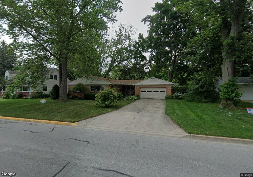
1053 Monroe Blvd South Haven, MI 49090
Estimated Value: $445,000 - $627,000
3
Beds
2
Baths
1,218
Sq Ft
$451/Sq Ft
Est. Value
About This Home
This home is located at 1053 Monroe Blvd, South Haven, MI 49090 and is currently estimated at $549,041, approximately $450 per square foot. 1053 Monroe Blvd is a home located in Van Buren County with nearby schools including South Haven High School, St. Basil School, and St. Paul Lutheran School.
Ownership History
Date
Name
Owned For
Owner Type
Purchase Details
Closed on
Apr 17, 2009
Sold by
Otto Harold E and Otto Jean A
Bought by
Davido Bneta
Current Estimated Value
Home Financials for this Owner
Home Financials are based on the most recent Mortgage that was taken out on this home.
Original Mortgage
$145,000
Outstanding Balance
$92,203
Interest Rate
5.05%
Mortgage Type
Unknown
Estimated Equity
$456,838
Purchase Details
Closed on
Dec 2, 2008
Sold by
Otto Jean A
Bought by
Otto Harold E and Otto Jean A
Purchase Details
Closed on
Oct 7, 2003
Sold by
Otto Harold E and Otto Jean A
Bought by
Otto Harold E Trustee
Create a Home Valuation Report for This Property
The Home Valuation Report is an in-depth analysis detailing your home's value as well as a comparison with similar homes in the area
Home Values in the Area
Average Home Value in this Area
Purchase History
| Date | Buyer | Sale Price | Title Company |
|---|---|---|---|
| Davido Bneta | $250,000 | Coastline Title Agency Llc | |
| Otto Harold E | -- | None Available | |
| Otto Harold E Trustee | -- | -- |
Source: Public Records
Mortgage History
| Date | Status | Borrower | Loan Amount |
|---|---|---|---|
| Open | Davido Bneta | $145,000 |
Source: Public Records
Tax History Compared to Growth
Tax History
| Year | Tax Paid | Tax Assessment Tax Assessment Total Assessment is a certain percentage of the fair market value that is determined by local assessors to be the total taxable value of land and additions on the property. | Land | Improvement |
|---|---|---|---|---|
| 2025 | $6,072 | $268,900 | $0 | $0 |
| 2024 | $4,474 | $262,900 | $0 | $0 |
| 2023 | $4,284 | $220,700 | $0 | $0 |
| 2022 | $5,443 | $208,500 | $0 | $0 |
| 2021 | $5,217 | $191,300 | $81,800 | $109,500 |
| 2020 | $5,203 | $181,200 | $83,000 | $98,200 |
| 2019 | $4,995 | $170,400 | $170,400 | $0 |
| 2018 | $4,878 | $207,000 | $207,000 | $0 |
| 2017 | $4,708 | $135,600 | $0 | $0 |
| 2016 | $4,566 | $112,500 | $0 | $0 |
| 2015 | $3,325 | $112,500 | $0 | $0 |
| 2014 | $3,380 | $110,000 | $0 | $0 |
| 2013 | $4,643 | $110,700 | $110,700 | $0 |
Source: Public Records
Map
Nearby Homes
- 901 Saint Joseph St Unit 17
- 118 Elkenburg St Unit 20
- 210 Elkenburg St Unit 1
- 212 Elkenburg St Unit 2
- 214 Elkenburg St Unit 3
- 216 Elkenburg St Unit 4
- 218 Elkenburg St
- 220 Elkenburg St Unit 6
- 222 Elkenburg St Unit 7
- 224 Elkenburg St Unit 8
- 226 Elkenburg St Unit 9
- 317 Cable Ave
- Sandalwood Plan at New Everett Park - Trailside
- Driftwood Plan at New Everett Park - Trailside
- 908 Indiana Ave Unit 11
- 55 Gabriel Dr
- 755 Indiana Ave
- 960 Center St
- 1395 Summerwood Dr
- 538 Humphrey St