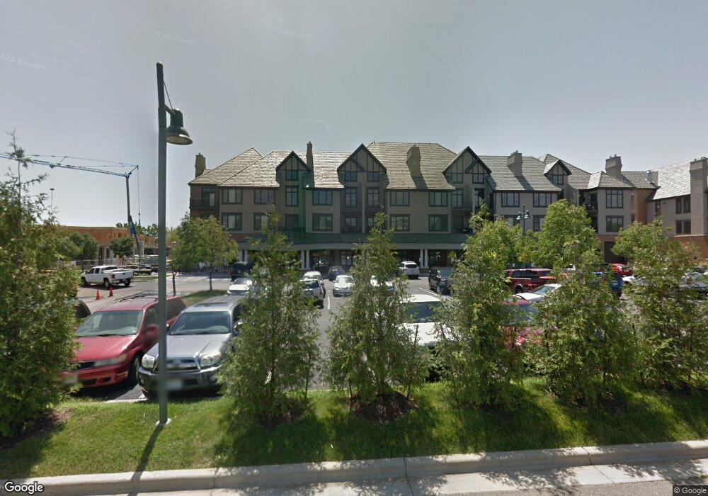
10531 Mission Rd Unit 212 Leawood, KS 66206
Estimated Value: $323,040 - $374,000
1
Bed
2
Baths
1,023
Sq Ft
$339/Sq Ft
Est. Value
About This Home
This home is located at 10531 Mission Rd Unit 212, Leawood, KS 66206 and is currently estimated at $346,510, approximately $338 per square foot. 10531 Mission Rd Unit 212 is a home located in Johnson County with nearby schools including Brookwood Elementary School, Shawnee Mission South High School, and Indian Woods Middle School.
Ownership History
Date
Name
Owned For
Owner Type
Purchase Details
Closed on
Apr 23, 2021
Sold by
Johnson Craig
Bought by
Crowell Wendy and Crowell Wendy L
Current Estimated Value
Home Financials for this Owner
Home Financials are based on the most recent Mortgage that was taken out on this home.
Original Mortgage
$139,700
Outstanding Balance
$126,334
Interest Rate
3.1%
Mortgage Type
New Conventional
Estimated Equity
$220,176
Purchase Details
Closed on
Jul 3, 2017
Sold by
Dubin Sara L and Ellis Curtis
Bought by
Johnson Craig
Home Financials for this Owner
Home Financials are based on the most recent Mortgage that was taken out on this home.
Original Mortgage
$216,750
Interest Rate
4%
Mortgage Type
Commercial
Purchase Details
Closed on
Jun 20, 2014
Sold by
Pavlich Richard
Bought by
Pavlich Veronica
Create a Home Valuation Report for This Property
The Home Valuation Report is an in-depth analysis detailing your home's value as well as a comparison with similar homes in the area
Home Values in the Area
Average Home Value in this Area
Purchase History
| Date | Buyer | Sale Price | Title Company |
|---|---|---|---|
| Crowell Wendy | -- | Platinum Title Llc | |
| Johnson Craig | -- | None Available | |
| Pavlich Veronica | -- | None Available |
Source: Public Records
Mortgage History
| Date | Status | Borrower | Loan Amount |
|---|---|---|---|
| Open | Crowell Wendy | $139,700 | |
| Previous Owner | Johnson Craig | $216,750 |
Source: Public Records
Tax History Compared to Growth
Tax History
| Year | Tax Paid | Tax Assessment Tax Assessment Total Assessment is a certain percentage of the fair market value that is determined by local assessors to be the total taxable value of land and additions on the property. | Land | Improvement |
|---|---|---|---|---|
| 2024 | $3,735 | $35,983 | $5,191 | $30,792 |
| 2023 | $3,541 | $33,580 | $5,191 | $28,389 |
| 2022 | $3,161 | $30,072 | $5,191 | $24,881 |
| 2021 | $3,260 | $29,543 | $5,191 | $24,352 |
| 2020 | $3,369 | $30,061 | $5,191 | $24,870 |
| 2019 | $3,288 | $29,417 | $5,191 | $24,226 |
| 2018 | $3,091 | $29,325 | $5,191 | $24,134 |
| 2017 | $3,087 | $27,117 | $4,851 | $22,266 |
| 2016 | $2,889 | $25,082 | $4,851 | $20,231 |
| 2015 | $2,892 | $25,300 | $4,851 | $20,449 |
| 2013 | -- | $15,683 | $5,118 | $10,565 |
Source: Public Records
Map
Nearby Homes
- 10531 Mission Rd Unit 312
- 10531 Mission Rd Unit 310
- 10511 Mission Rd Unit 211A
- 10425 Mohawk Ln
- 10408 Howe Ln
- 4009 W 110th St
- 10316 Howe Dr
- 10332 Cherokee Ln
- 4328 W 110th St
- 10221 El Monte St
- 10314 Manor Rd
- 3905 W 101st Terrace
- 10501 Sagamore Rd
- 3523 W 100th Terrace
- 10315 High Dr
- 10314 Sagamore Ln
- 2301 W 103rd St
- 10310 Sagamore Ln
- 11221 Granada Ln
- 11425 Canterbury Cir
- 10531 Mission Rd
- 10531 Mission Rd
- 10531 Mission Rd
- 10531 Mission Rd Unit 216
- 10531 Mission Rd Unit 210
- 10531 Mission Rd Unit 304
- 10531 Mission Rd Unit 312
- 10531 Mission Rd Unit 308
- 10531 Mission Rd Unit 208
- 10531 Mission Rd Unit 310B
- 10531 Mission Rd Unit 314
- 10531 Mission Rd Unit 214
- 10531 Mission Rd Unit 202B
- 10531 Mission Rd Unit 304B
- 10531 Mission Rd Unit 210B
- 10531 Mission Rd Unit 211
- 10531 Mission Rd Unit 307B
- 10531 Mission Rd Unit 216B
- 10531 Mission Rd Unit 314B
- 10531 Mission Rd Unit 305B