10533 Stonecrest Dr Johnston, IA 50131
Southwest Johnston NeighborhoodEstimated Value: $415,000 - $463,000
3
Beds
3
Baths
1,569
Sq Ft
$279/Sq Ft
Est. Value
About This Home
This home is located at 10533 Stonecrest Dr, Johnston, IA 50131 and is currently estimated at $437,665, approximately $278 per square foot. 10533 Stonecrest Dr is a home located in Polk County with nearby schools including Horizon Elementary School, Summit Middle School, and Johnston Middle School.
Ownership History
Date
Name
Owned For
Owner Type
Purchase Details
Closed on
Oct 24, 2007
Sold by
Cosgriff Development Llc
Bought by
Lawnsdail Kevin D and Feldman Patricia
Current Estimated Value
Home Financials for this Owner
Home Financials are based on the most recent Mortgage that was taken out on this home.
Original Mortgage
$223,200
Outstanding Balance
$140,578
Interest Rate
6.38%
Mortgage Type
Purchase Money Mortgage
Estimated Equity
$297,087
Purchase Details
Closed on
Mar 26, 2007
Sold by
Johnston Land Co Ii Lc
Bought by
Cosgriff Development Llc
Create a Home Valuation Report for This Property
The Home Valuation Report is an in-depth analysis detailing your home's value as well as a comparison with similar homes in the area
Home Values in the Area
Average Home Value in this Area
Purchase History
| Date | Buyer | Sale Price | Title Company |
|---|---|---|---|
| Lawnsdail Kevin D | $278,500 | None Available | |
| Cosgriff Development Llc | $56,500 | None Available |
Source: Public Records
Mortgage History
| Date | Status | Borrower | Loan Amount |
|---|---|---|---|
| Open | Lawnsdail Kevin D | $223,200 |
Source: Public Records
Tax History Compared to Growth
Tax History
| Year | Tax Paid | Tax Assessment Tax Assessment Total Assessment is a certain percentage of the fair market value that is determined by local assessors to be the total taxable value of land and additions on the property. | Land | Improvement |
|---|---|---|---|---|
| 2025 | $6,910 | $487,800 | $87,000 | $400,800 |
| 2024 | $6,910 | $422,500 | $74,300 | $348,200 |
| 2023 | $6,772 | $422,500 | $74,300 | $348,200 |
| 2022 | $7,564 | $364,000 | $66,400 | $297,600 |
| 2021 | $7,074 | $364,000 | $66,400 | $297,600 |
| 2020 | $6,954 | $324,900 | $59,400 | $265,500 |
| 2019 | $6,852 | $324,900 | $59,400 | $265,500 |
| 2018 | $6,674 | $297,300 | $52,100 | $245,200 |
| 2017 | $6,466 | $297,300 | $52,100 | $245,200 |
| 2016 | $6,326 | $282,700 | $49,000 | $233,700 |
| 2015 | $6,326 | $282,700 | $49,000 | $233,700 |
| 2014 | $5,916 | $261,500 | $45,400 | $216,100 |
Source: Public Records
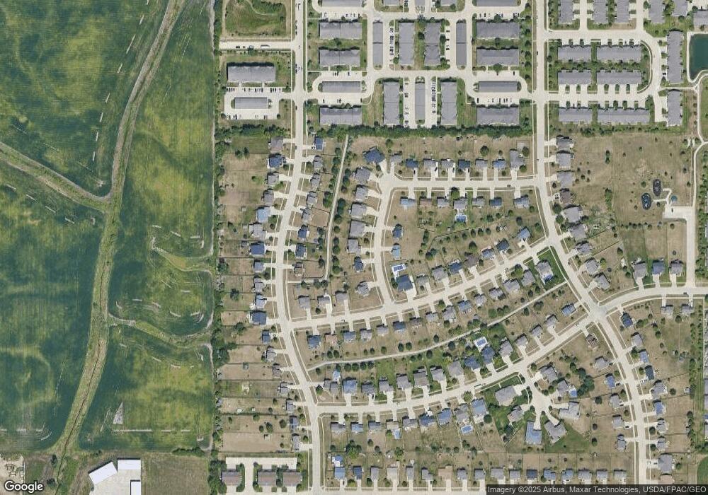
Map
Nearby Homes
- 10520 Stonecrest Dr
- 10418 Stonebridge Dr
- 10335 Norfolk Dr Unit 16
- 2908 SE Diamond Dr
- 2803 SE Keystone Dr
- 6101 Manchester Ln
- 6034 Sheffield Cir
- 5827 Marble Cir
- 3008 SE Weatherstone St
- 2905 SE Liberty Dr
- 5920 Century Way E
- 10325 Providence Dr Unit 102
- 3305 SE Glenstone Dr Unit 114
- 3305 SE Glenstone Dr Unit 142
- 3305 SE Glenstone Dr Unit 172
- 3400 SE Glenstone Dr Unit 3
- 10100 Catalina Dr
- 9425 Woodland Dr
- 3062 NW Beechwood Dr
- 2986 NW Beechwood Dr
- 10529 Stonecrest Dr
- 10541 Stonecrest Dr
- 10517 Stonecrest Dr
- 5921 NW 106th St
- 10528 Stonecrest Dr
- 5917 NW 106th St
- 5925 NW 106th St
- 10549 Stonecrest Dr
- 5913 NW 106th St
- 10511 Stonebridge Dr
- 10509 Stonecrest Dr
- 10519 Stonebridge Dr
- 5929 NW 106th St
- 10503 Stonebridge Dr
- 10429 Stonebridge Dr
- 10416 Stonecrest Dr
- 10527 Stonebridge Dr
- 5933 NW 106th St
- 10501 Stonecrest Dr
- 10421 Stonebridge Dr