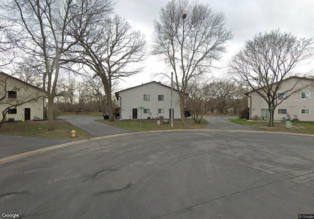
10536 Grouse Cir NW Coon Rapids, MN 55433
Estimated Value: $210,000 - $227,000
2
Beds
2
Baths
1,397
Sq Ft
$157/Sq Ft
Est. Value
About This Home
This home is located at 10536 Grouse Cir NW, Coon Rapids, MN 55433 and is currently estimated at $219,000, approximately $156 per square foot. 10536 Grouse Cir NW is a home located in Anoka County with nearby schools including Lucile Bruner Elementary School, Hamilton Elementary School, and Laughlin Junior/Senior High School.
Ownership History
Date
Name
Owned For
Owner Type
Purchase Details
Closed on
Jan 5, 2018
Sold by
Deutsche Bank National Trust Co
Bought by
Dzaferovic Riad and Dzaferovic Mebrura
Current Estimated Value
Home Financials for this Owner
Home Financials are based on the most recent Mortgage that was taken out on this home.
Original Mortgage
$95,900
Outstanding Balance
$80,887
Interest Rate
3.92%
Mortgage Type
New Conventional
Estimated Equity
$138,113
Purchase Details
Closed on
Jun 24, 2005
Sold by
Schimmel Nicholas and Schimmel Katrina
Bought by
Miller Robert C
Purchase Details
Closed on
Aug 28, 2003
Sold by
Johnson Dianna R
Bought by
Schimmel Nicholas and Schimmel Katrina E
Create a Home Valuation Report for This Property
The Home Valuation Report is an in-depth analysis detailing your home's value as well as a comparison with similar homes in the area
Home Values in the Area
Average Home Value in this Area
Purchase History
| Date | Buyer | Sale Price | Title Company |
|---|---|---|---|
| Dzaferovic Riad | $119,900 | Alliance Title Llc | |
| Miller Robert C | $155,000 | -- | |
| Schimmel Nicholas | $139,000 | -- |
Source: Public Records
Mortgage History
| Date | Status | Borrower | Loan Amount |
|---|---|---|---|
| Open | Dzaferovic Riad | $95,900 |
Source: Public Records
Tax History Compared to Growth
Tax History
| Year | Tax Paid | Tax Assessment Tax Assessment Total Assessment is a certain percentage of the fair market value that is determined by local assessors to be the total taxable value of land and additions on the property. | Land | Improvement |
|---|---|---|---|---|
| 2025 | $1,913 | $205,200 | $55,000 | $150,200 |
| 2024 | $1,913 | $198,500 | $43,000 | $155,500 |
| 2023 | $1,871 | $185,900 | $45,500 | $140,400 |
| 2022 | $1,770 | $202,200 | $50,500 | $151,700 |
| 2021 | $1,605 | $173,200 | $33,000 | $140,200 |
| 2020 | $1,646 | $156,100 | $20,000 | $136,100 |
| 2019 | $1,465 | $153,700 | $27,000 | $126,700 |
| 2018 | $1,495 | $136,000 | $0 | $0 |
| 2017 | $1,252 | $125,800 | $0 | $0 |
| 2016 | $1,255 | $105,600 | $0 | $0 |
| 2015 | -- | $105,600 | $14,000 | $91,600 |
| 2014 | -- | $77,900 | $5,200 | $72,700 |
Source: Public Records
Map
Nearby Homes
- 10634 Hummingbird St NW
- 10658 Hummingbird St NW
- 1900 Coon Rapids Blvd NW Unit 1
- 1285 105th Ave NW
- 2001 103rd Ln NW
- 1285 103rd Ln NW
- 9967 Egret Blvd NW
- 2201 108th Ave NW
- 11036 Hanson Blvd NW Unit 20
- 1025 105th Ave NW
- 10239 Raven St NW
- 10705 Unity St NW Unit 6
- 10708 Tamarack St NW Unit 10
- 990 106th Ln NW Unit 29
- 995 106th Ln NW Unit 52
- 1054 109th Ln NW
- 10170 Tamarack St NW
- 10136 Uplander St NW
- 1478 97th Ave NW
- 11000 Swallow St NW
- 10528 Grouse Cir NW
- 10544 Grouse Cir NW
- 10540 Grouse Cir NW
- 10552 Grouse Cir NW
- 10532 Grouse Cir NW
- 10520 Grouse Cir NW
- 10548 Grouse Cir NW
- 10556 Grouse Cir NW
- 10512 Grouse Cir NW
- 10564 Grouse Cir NW
- 10560 Grouse Cir NW
- 10524 Grouse Cir NW
- 10529 Grouse Cir NW
- 10521 Grouse Cir NW
- 10572 Grouse Cir NW
- 10516 Grouse Cir NW
- 10537 Grouse Cir NW
- 10545 Grouse Cir NW
- 10553 Grouse Cir NW
- 10525 Grouse Cir NW