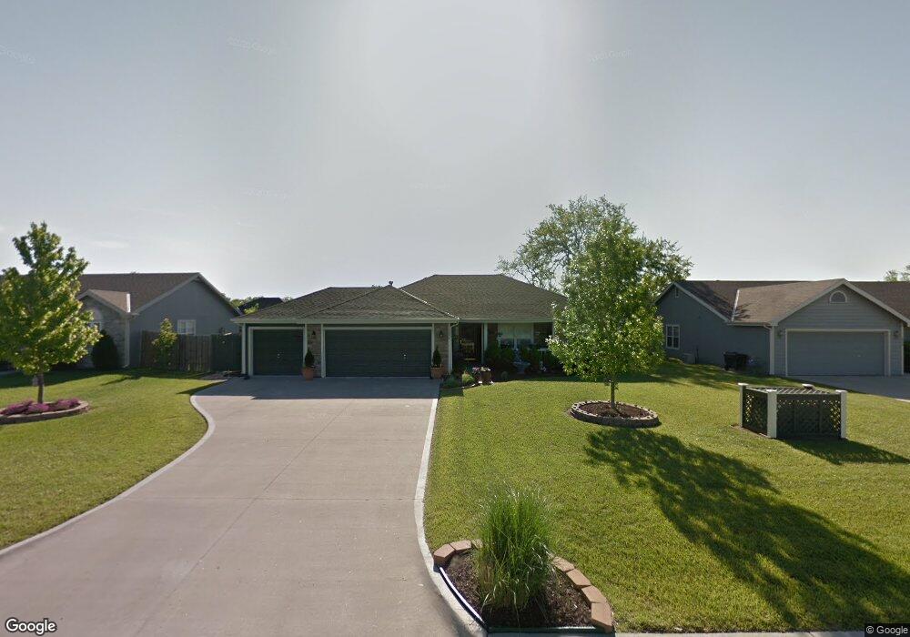
1054 Firetree Ave Baldwin City, KS 66006
Estimated Value: $321,000 - $366,000
3
Beds
2
Baths
1,661
Sq Ft
$202/Sq Ft
Est. Value
About This Home
This home is located at 1054 Firetree Ave, Baldwin City, KS 66006 and is currently estimated at $334,993, approximately $201 per square foot. 1054 Firetree Ave is a home located in Douglas County with nearby schools including Baldwin Elementary Primary Center, Baldwin Elementary Intermediate Center, and Baldwin Junior High School.
Ownership History
Date
Name
Owned For
Owner Type
Purchase Details
Closed on
Jan 4, 2005
Sold by
Coffman Construction Inc
Bought by
Ybarra Ralph and Ybarra Julie Ann
Current Estimated Value
Home Financials for this Owner
Home Financials are based on the most recent Mortgage that was taken out on this home.
Original Mortgage
$154,000
Interest Rate
5.71%
Mortgage Type
Fannie Mae Freddie Mac
Create a Home Valuation Report for This Property
The Home Valuation Report is an in-depth analysis detailing your home's value as well as a comparison with similar homes in the area
Home Values in the Area
Average Home Value in this Area
Purchase History
| Date | Buyer | Sale Price | Title Company |
|---|---|---|---|
| Ybarra Ralph | -- | First American Title |
Source: Public Records
Mortgage History
| Date | Status | Borrower | Loan Amount |
|---|---|---|---|
| Previous Owner | Ybarra Ralph | $154,000 |
Source: Public Records
Tax History
| Year | Tax Paid | Tax Assessment Tax Assessment Total Assessment is a certain percentage of the fair market value that is determined by local assessors to be the total taxable value of land and additions on the property. | Land | Improvement |
|---|---|---|---|---|
| 2025 | $4,982 | $36,179 | $5,865 | $30,314 |
| 2024 | $4,943 | $35,271 | $4,945 | $30,326 |
| 2023 | $4,603 | $31,522 | $4,945 | $26,577 |
| 2022 | $4,140 | $27,570 | $4,945 | $22,625 |
| 2021 | $3,607 | $23,565 | $3,738 | $19,827 |
| 2020 | $3,396 | $22,023 | $3,220 | $18,803 |
| 2019 | $3,299 | $21,402 | $2,990 | $18,412 |
| 2018 | $3,189 | $20,355 | $2,760 | $17,595 |
| 2017 | $3,143 | $19,642 | $2,760 | $16,882 |
| 2016 | $3,065 | $19,504 | $2,760 | $16,744 |
| 2015 | $3,016 | $19,424 | $2,760 | $16,664 |
| 2014 | $2,923 | $19,424 | $2,760 | $16,664 |
Source: Public Records
Map
Nearby Homes
- 1013 Bluestem Dr
- Lot 5 Block 3 Bluestem Dr
- Lot 3 Block 2 Bluestem Dr
- Lot 6 Block 2 Bluestem Dr
- Lot 7 Block 2 Bluestem Dr
- Lot 12 Block 2 Bluestem Dr
- 1108 Bluestem Dr
- 605 Parkside Ct
- 10± Acres E 1700 Rd
- 915 Eagle Ridge Dr
- 917 Eagle Ridge Dr
- 118 7th St
- 1105 Chapel St
- 441 E 1700 Rd
- 1112 Grove St
- 1587 N 450th Rd
- 819 7th St
- 80 E 1600 Rd
- 214 Hillside Dr
- 218 Hillside Dr
- 1050 Firetree Ave
- 1058 Firetree Ave
- 701 Flame Way
- 623 Flame Way
- 1046 Firetree Ave
- 705 Flame Way
- 1062 Firetree Ave
- Lot Kathys Ct
- 619 Flame Way
- 1001 Kathys Ct
- 709 Flame Way
- 1039 Firetree Ave
- 1042 Firetree Ave
- 1066 Firetree Ave
- 615 Flame Way
- 713 Flame Way
- 1005 Kathys Ct
- Lot 28 Blk 3 Kathys Ct
- 1000 Kathys Ct
- 1038 Firetree Ave
Your Personal Tour Guide
Ask me questions while you tour the home.