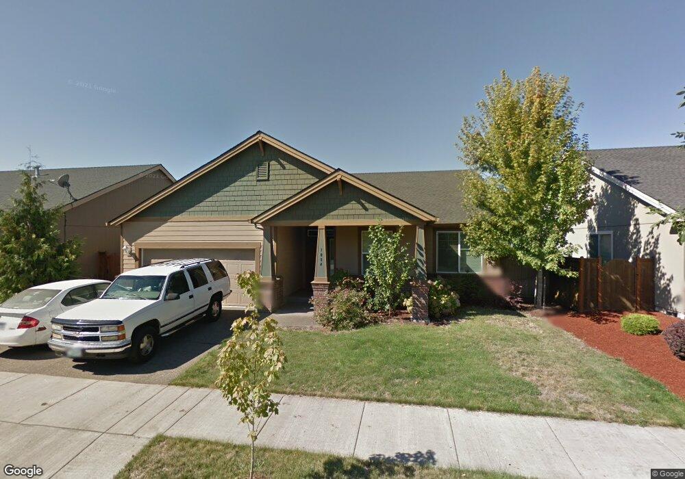
1054 Heathrow Dr Eugene, OR 97402
Bethel NeighborhoodEstimated Value: $451,023 - $518,000
4
Beds
2
Baths
1,817
Sq Ft
$271/Sq Ft
Est. Value
About This Home
This home is located at 1054 Heathrow Dr, Eugene, OR 97402 and is currently estimated at $491,506, approximately $270 per square foot. 1054 Heathrow Dr is a home located in Lane County with nearby schools including Danebo Elementary School, Shasta Middle School, and Willamette High School.
Ownership History
Date
Name
Owned For
Owner Type
Purchase Details
Closed on
Dec 30, 2005
Sold by
Portland D R Horton Inc
Bought by
Yu Susie
Current Estimated Value
Home Financials for this Owner
Home Financials are based on the most recent Mortgage that was taken out on this home.
Original Mortgage
$184,910
Outstanding Balance
$97,946
Interest Rate
5.5%
Mortgage Type
Fannie Mae Freddie Mac
Estimated Equity
$393,560
Create a Home Valuation Report for This Property
The Home Valuation Report is an in-depth analysis detailing your home's value as well as a comparison with similar homes in the area
Home Values in the Area
Average Home Value in this Area
Purchase History
| Date | Buyer | Sale Price | Title Company |
|---|---|---|---|
| Yu Susie | $231,144 | First American Title |
Source: Public Records
Mortgage History
| Date | Status | Borrower | Loan Amount |
|---|---|---|---|
| Open | Yu Susie | $184,910 |
Source: Public Records
Tax History
| Year | Tax Paid | Tax Assessment Tax Assessment Total Assessment is a certain percentage of the fair market value that is determined by local assessors to be the total taxable value of land and additions on the property. | Land | Improvement |
|---|---|---|---|---|
| 2025 | $4,366 | $250,974 | -- | -- |
| 2024 | $4,255 | $243,665 | -- | -- |
| 2023 | $4,255 | $236,568 | $0 | $0 |
| 2022 | $3,961 | $229,678 | $0 | $0 |
| 2021 | $3,878 | $222,989 | $0 | $0 |
| 2020 | $3,765 | $216,495 | $0 | $0 |
| 2019 | $3,580 | $210,190 | $0 | $0 |
| 2018 | $3,480 | $198,124 | $0 | $0 |
| 2017 | $3,325 | $198,124 | $0 | $0 |
| 2016 | $3,241 | $192,353 | $0 | $0 |
| 2015 | $3,177 | $186,750 | $0 | $0 |
| 2014 | $3,128 | $181,311 | $0 | $0 |
Source: Public Records
Map
Nearby Homes
- 4941 Stagecoach Rd
- 1199 N Terry St
- 1199 N Terry St Unit 248
- 1199 N Terry St Unit 259
- 1199 N Terry St Unit 139
- 1199 N Terry St Unit 258
- 1199 N Terry St Unit SP113
- 1199 N Terry St Unit 309
- 1199 N Terry St Unit SP282
- 1199 N Terry St Unit 128
- 1199 N Terry St Unit 366
- 1199 N Terry St Unit 404
- 1159 Throne Dr
- 1145 Ludgate Dr
- 4749 Royal Ave
- 4900 Royal Ave Unit 105
- 4900 Royal Ave Unit SP13
- 749 St Charles St
- 5260 Forest Ln
- 735 St Charles St
- 1060 Heathrow Dr
- 1038 Heathrow Dr
- 1049 Leopold Dr
- 1033 Leopold Dr
- 1061 Leopold Dr
- 1074 Heathrow Dr
- 1057 Heathrow Dr
- 1171 Welcome Way
- 1063 Heathrow Dr
- 1043 Heathrow Dr
- 1183 Welcome Way
- 1077 Leopold Dr
- 1195 Welcome Way
- 1165 Welcome Way
- 1075 Heathrow Dr
- 1080 Heathrow Dr
- 1083 Leopold Dr
- 1064 Throne Dr
- 1087 Heathrow Dr
- 1157 Welcome Way
Your Personal Tour Guide
Ask me questions while you tour the home.