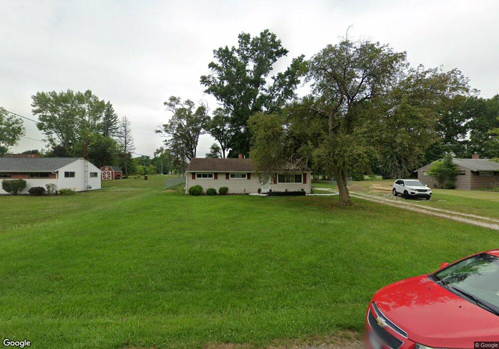
10545 Dot Ave NE Alliance, OH 44601
Estimated Value: $171,581 - $215,000
3
Beds
1
Bath
1,092
Sq Ft
$172/Sq Ft
Est. Value
About This Home
This home is located at 10545 Dot Ave NE, Alliance, OH 44601 and is currently estimated at $187,395, approximately $171 per square foot. 10545 Dot Ave NE is a home located in Stark County with nearby schools including Marlington High School and Regina Coeli/St Joseph School.
Ownership History
Date
Name
Owned For
Owner Type
Purchase Details
Closed on
Nov 16, 2018
Sold by
Hess Melvin C and Hess Joyce E
Bought by
Phillips Edmond and Phillips Jan
Current Estimated Value
Home Financials for this Owner
Home Financials are based on the most recent Mortgage that was taken out on this home.
Original Mortgage
$77,950
Outstanding Balance
$67,853
Interest Rate
4.7%
Mortgage Type
New Conventional
Estimated Equity
$119,542
Purchase Details
Closed on
Nov 8, 2002
Sold by
Swindell Patricia Ann and Swindell Daniel
Bought by
Hess Melvin C and Hess Joyce E
Home Financials for this Owner
Home Financials are based on the most recent Mortgage that was taken out on this home.
Original Mortgage
$67,000
Interest Rate
6.1%
Mortgage Type
Purchase Money Mortgage
Purchase Details
Closed on
Feb 13, 2001
Sold by
Estate Of Martha O Gosser
Bought by
Swindell Patricia Ann
Purchase Details
Closed on
May 26, 1993
Create a Home Valuation Report for This Property
The Home Valuation Report is an in-depth analysis detailing your home's value as well as a comparison with similar homes in the area
Purchase History
| Date | Buyer | Sale Price | Title Company |
|---|---|---|---|
| Phillips Edmond | $90,000 | None Available | |
| Hess Melvin C | $83,900 | Union Title | |
| Swindell Patricia Ann | -- | -- | |
| -- | -- | -- |
Source: Public Records
Mortgage History
| Date | Status | Borrower | Loan Amount |
|---|---|---|---|
| Open | Phillips Edmond | $77,950 | |
| Previous Owner | Hess Melvin C | $67,000 |
Source: Public Records
Tax History
| Year | Tax Paid | Tax Assessment Tax Assessment Total Assessment is a certain percentage of the fair market value that is determined by local assessors to be the total taxable value of land and additions on the property. | Land | Improvement |
|---|---|---|---|---|
| 2025 | -- | $46,380 | $21,880 | $24,500 |
| 2024 | -- | $46,380 | $21,880 | $24,500 |
| 2023 | $1,412 | $33,010 | $11,620 | $21,390 |
| 2022 | $1,167 | $33,010 | $11,620 | $21,390 |
| 2021 | $1,170 | $33,010 | $11,620 | $21,390 |
| 2020 | $1,128 | $28,350 | $10,010 | $18,340 |
| 2019 | $1,120 | $28,350 | $10,010 | $18,340 |
| 2018 | $1,149 | $28,350 | $10,010 | $18,340 |
| 2017 | $1,126 | $26,010 | $9,520 | $16,490 |
| 2016 | $1,127 | $26,010 | $9,520 | $16,490 |
| 2015 | $1,077 | $26,010 | $9,520 | $16,490 |
| 2014 | $984 | $21,710 | $7,950 | $13,760 |
| 2013 | $489 | $21,710 | $7,950 | $13,760 |
Source: Public Records
Map
Nearby Homes
- 10684 Dot Ave NE
- 10645 Wilma Ave NE
- 10666 Wilma Ave NE
- 0 Meadow St NE
- 10580 Heltman Ave NE
- 0 W Main St Unit 5090123
- 13004 Edison St NE
- 13109 Edison St NE
- 0 Westwood St
- 1235 Spring Ridge Cir Unit 17A
- 1601 Raywood Rd
- 347 Buckeye Ave
- 550 Johnson Ave
- 432 Johnson Ave
- 1114 Briarcliff Ave
- 1310 Overlook Dr
- 8539 Schubert Ave NE
- 664 Fairview Place
- 160 Bonnieview Ave
- 1156 Parkside Dr
- 10533 Dot Ave NE
- 10567 Dot Ave NE
- 10585 Dot Ave NE
- 10544 Dot Ave NE
- 10570 Dot Ave NE
- 10530 Dot Ave NE
- 12390 Beeson St NE
- 12366 Beeson St NE
- 10605 Dot Ave NE
- 10588 Dot Ave NE
- 12380 Beeson St NE
- 12414 Beeson St NE
- 10606 Dot Ave NE
- 10625 Dot Ave NE
- 10545 Barcus Ave NE
- 10567 Barcus Ave NE
- 10533 Barcus Ave NE
- 10585 Barcus Ave NE
- 10626 Dot Ave NE
- 10645 Dot Ave NE
Your Personal Tour Guide
Ask me questions while you tour the home.