10547 Sherman Rd Chardon, OH 44024
Estimated Value: $304,052 - $361,000
3
Beds
1
Bath
2,040
Sq Ft
$157/Sq Ft
Est. Value
About This Home
This home is located at 10547 Sherman Rd, Chardon, OH 44024 and is currently estimated at $319,513, approximately $156 per square foot. 10547 Sherman Rd is a home located in Geauga County with nearby schools including Chardon High School and Notre Dame Elementary School.
Ownership History
Date
Name
Owned For
Owner Type
Purchase Details
Closed on
Aug 18, 2005
Sold by
Kawalec Nelda R
Bought by
Poleman James and Poleman Janine
Current Estimated Value
Home Financials for this Owner
Home Financials are based on the most recent Mortgage that was taken out on this home.
Original Mortgage
$175,000
Outstanding Balance
$92,107
Interest Rate
5.69%
Mortgage Type
Purchase Money Mortgage
Estimated Equity
$227,406
Purchase Details
Closed on
Sep 14, 1993
Bought by
Kawalec Nelda R
Create a Home Valuation Report for This Property
The Home Valuation Report is an in-depth analysis detailing your home's value as well as a comparison with similar homes in the area
Home Values in the Area
Average Home Value in this Area
Purchase History
| Date | Buyer | Sale Price | Title Company |
|---|---|---|---|
| Poleman James | $175,000 | First American Title Ins Co | |
| Janovics Frank J | $22,000 | First American Title Ins Co | |
| Kawalec Nelda R | -- | -- |
Source: Public Records
Mortgage History
| Date | Status | Borrower | Loan Amount |
|---|---|---|---|
| Open | Poleman James | $175,000 |
Source: Public Records
Tax History Compared to Growth
Tax History
| Year | Tax Paid | Tax Assessment Tax Assessment Total Assessment is a certain percentage of the fair market value that is determined by local assessors to be the total taxable value of land and additions on the property. | Land | Improvement |
|---|---|---|---|---|
| 2024 | $4,365 | $89,110 | $29,680 | $59,430 |
| 2023 | $4,365 | $89,110 | $29,680 | $59,430 |
| 2022 | $3,799 | $66,610 | $24,640 | $41,970 |
| 2021 | $3,782 | $66,610 | $24,640 | $41,970 |
| 2020 | $3,810 | $66,610 | $24,640 | $41,970 |
| 2019 | $3,528 | $60,830 | $24,640 | $36,190 |
| 2018 | $3,766 | $60,830 | $24,640 | $36,190 |
| 2017 | $3,528 | $60,830 | $24,640 | $36,190 |
| 2016 | $3,377 | $56,740 | $26,360 | $30,380 |
| 2015 | $3,181 | $56,740 | $26,360 | $30,380 |
| 2014 | $3,181 | $56,740 | $26,360 | $30,380 |
| 2013 | $3,202 | $56,740 | $26,360 | $30,380 |
Source: Public Records
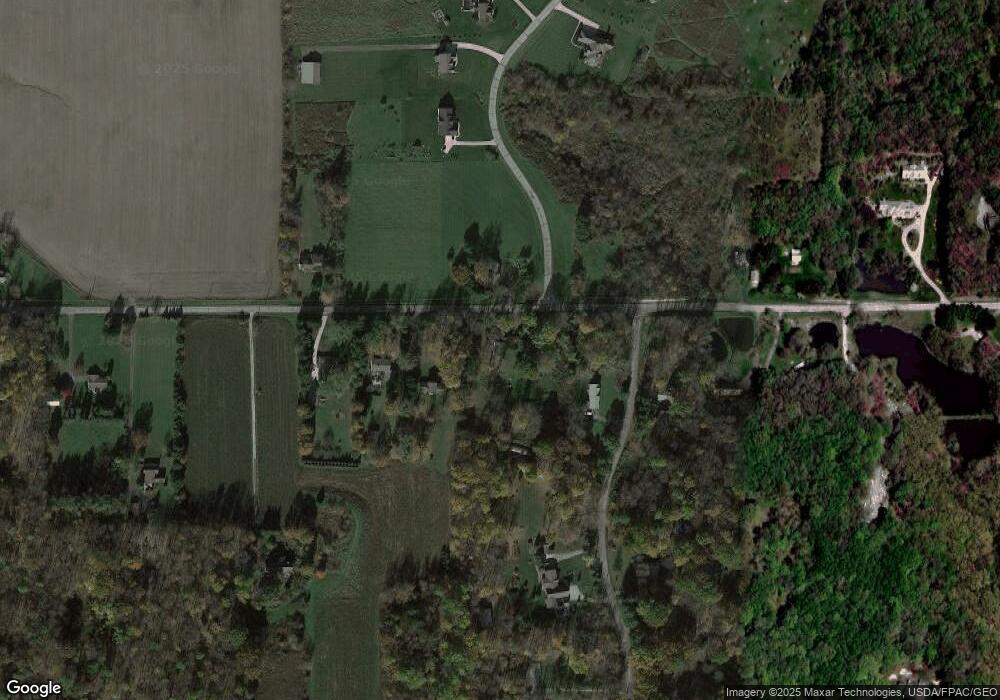
Map
Nearby Homes
- 12386 Auburn Rd
- 10331 Butternut Rd
- 12452 Auburn Rd
- Parcel 2 Auburn Rd
- Parcel 1 Auburn Rd
- 12005 Auburn Rd
- 11785 Stonegate Dr
- 10036 Wilson Mills Rd
- 0 Fowlers Mill Rd Unit 5140846
- 12865 Rockhaven Rd
- 10263 Wye Rd
- 10640 Butternut Rd
- 11574 Winterberry Ln
- 10504 Mulberry Rd
- 9448 Mayfield Rd
- S/L 19 Sutton Place
- 10315 Pinegate Dr
- 9613 Kim Dr
- 0 Thwing Rd
- 0 Thwing Rd Unit LotWP001
- 10531 Sherman Rd
- 10577 Sherman Rd
- 10515 Sherman Rd
- 10546 Sherman Rd
- 14 Arborwood Ct
- 10501 Sherman Rd
- 12255 Carroll Dr
- 10492 Sherman Rd
- 10613 Sherman Rd
- 10613 Sherman Rd
- 10613 Sherman Rd
- 10613 Sherman Rd
- 12320 Carroll Dr
- 12190 Arborwood Way
- 12307 Carroll Dr
- 12321 Carroll Dr
- 1 SL Arborwood Way
- 10616 Sherman Rd
- 12180 Arborwood Way
- 10633 Sherman Rd