1055 Harry Lindsay Rd Guyton, GA 31312
Estimated Value: $389,000 - $942,000
5
Beds
4
Baths
2,746
Sq Ft
$240/Sq Ft
Est. Value
About This Home
This home is located at 1055 Harry Lindsay Rd, Guyton, GA 31312 and is currently estimated at $657,954, approximately $239 per square foot. 1055 Harry Lindsay Rd is a home with nearby schools including Guyton Elementary School, Effingham County Middle School, and Effingham County High School.
Ownership History
Date
Name
Owned For
Owner Type
Purchase Details
Closed on
Oct 25, 2019
Sold by
Burns Wilson H
Bought by
Patrick Dennis James and Patrick Brittany Noel
Current Estimated Value
Purchase Details
Closed on
Jun 27, 2019
Sold by
Burns Wilson H
Bought by
Allen Jeremy David and Allen Jessica Lynn
Purchase Details
Closed on
Aug 17, 2018
Sold by
Burns Wilson H
Bought by
Mcintosh Richard J and Mcintosh Deborah S
Purchase Details
Closed on
Nov 23, 2016
Sold by
Wilson H
Bought by
White William Brian and White Lesli Kay
Purchase Details
Closed on
Dec 1, 2011
Sold by
The Coastal Bank
Bought by
Burns Wilson H
Purchase Details
Closed on
Oct 4, 2011
Sold by
Mccall William D
Bought by
The Coastal Bank
Purchase Details
Closed on
Jun 7, 2011
Sold by
Mccall William D
Bought by
Mccall Patricia P
Create a Home Valuation Report for This Property
The Home Valuation Report is an in-depth analysis detailing your home's value as well as a comparison with similar homes in the area
Home Values in the Area
Average Home Value in this Area
Purchase History
| Date | Buyer | Sale Price | Title Company |
|---|---|---|---|
| Patrick Dennis James | $75,000 | -- | |
| Allen Jeremy David | $60,000 | -- | |
| Mcintosh Richard J | $70,000 | -- | |
| White William Brian | $195,000 | -- | |
| Burns Wilson H | $350,000 | -- | |
| The Coastal Bank | $359,000 | -- | |
| Mccall Patricia P | $554,371 | -- |
Source: Public Records
Tax History Compared to Growth
Tax History
| Year | Tax Paid | Tax Assessment Tax Assessment Total Assessment is a certain percentage of the fair market value that is determined by local assessors to be the total taxable value of land and additions on the property. | Land | Improvement |
|---|---|---|---|---|
| 2025 | $4,866 | $189,281 | $39,288 | $149,993 |
| 2024 | $4,866 | $185,669 | $37,404 | $148,265 |
| 2023 | $3,658 | $173,333 | $37,404 | $135,929 |
| 2022 | $4,337 | $173,333 | $37,404 | $135,929 |
| 2021 | $128 | $35,966 | $35,966 | $0 |
| 2020 | $452 | $35,260 | $35,260 | $0 |
| 2019 | $502 | $55,094 | $55,094 | $0 |
Source: Public Records
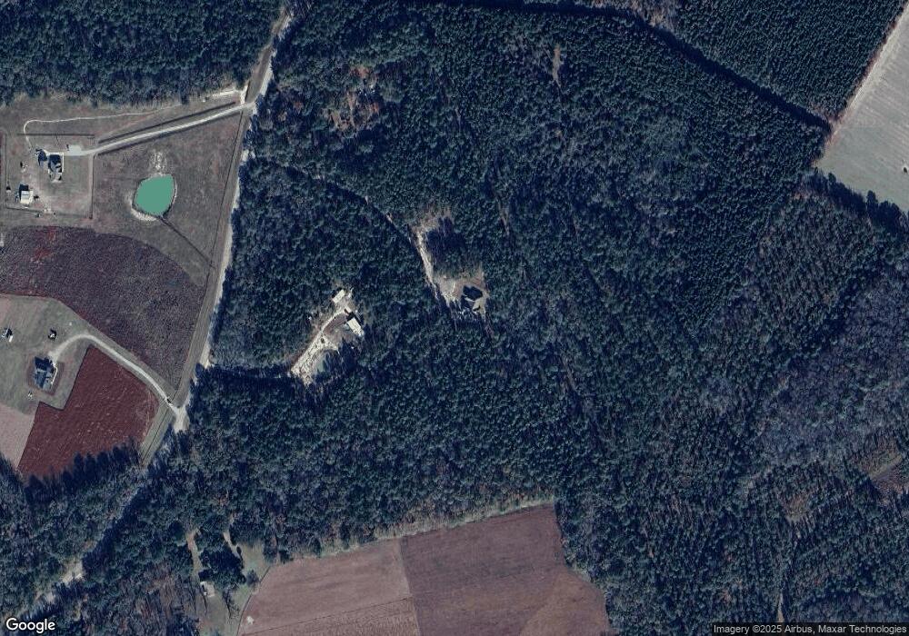
Map
Nearby Homes
- 1650 Ga Highway 17 N
- 330 Lakeshore Dr
- 410 Newton Rd
- 112 Wakefield Dr
- 114 Wakefield Dr
- 1650 Georgia 17
- 563 Keith Rd
- 168 Satinwood Rd
- 305 Satinwood Rd
- 104 Sunrise Dr
- 0 Mt Hope Rd Unit Lot 5B
- 0 Mt Hope Rd Unit Lot 5A
- 338 Gracen Rd
- 108 Beecher Dr
- 165 Shearouse Landing Rd
- 5 Honeysuckle Ct
- 385 Shearwood Rd
- 969 Ga Highway 17 N
- 0 Del - A - Rae Cir Unit 10573783
- 0 Shearouse Landing Unit LOT 1
- 1111 Harry Lindsay Rd
- 1151 Harry Lindsay Rd
- 1050 Harry Lindsay Rd
- 1070 Harry Lindsay Rd
- 1160 Harry Lindsay Rd
- 1157 Harry Lindsay Rd
- 1157 Harry Lindsay Rd Unit Parcel D
- 654 Porter Rd
- 3340 Old Louisville Rd
- 3276 Old Louisville Rd
- 3356 Old Louisville Rd
- 260 Moore Rd
- 3390 Old Louisville Rd
- 296 Moore Rd
- 3400 Old Louisville Rd
- 576 Porter Rd
- 248 Moore Rd
- 3596 Old Louisville Rd
- 3389 Old Louisville Rd
- 212 Moore Rd