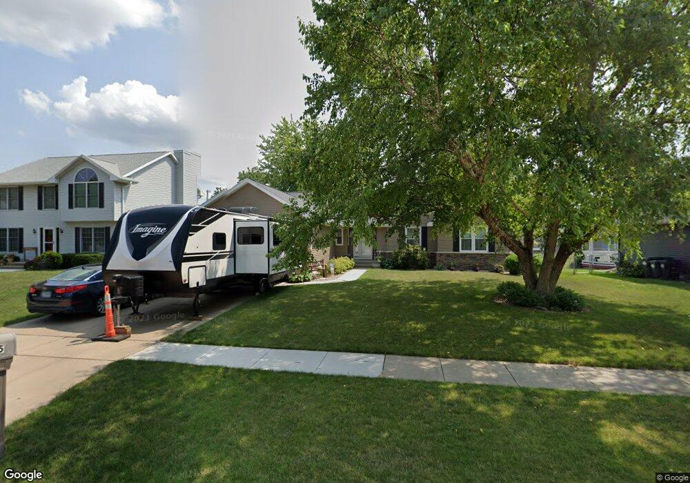
1055 Lyndhurst Dr Hiawatha, IA 52233
Estimated Value: $259,000 - $334,000
5
Beds
3
Baths
1,699
Sq Ft
$181/Sq Ft
Est. Value
About This Home
This home is located at 1055 Lyndhurst Dr, Hiawatha, IA 52233 and is currently estimated at $307,420, approximately $180 per square foot. 1055 Lyndhurst Dr is a home located in Linn County with nearby schools including Hiawatha Elementary School, Harding Middle School, and John F. Kennedy High School.
Ownership History
Date
Name
Owned For
Owner Type
Purchase Details
Closed on
Jan 21, 1999
Sold by
Vandenbosch Daniel T and Vandenbosch Sandra R
Bought by
Vanderploeg Robert D and Vanderploeg Kim Colleen
Current Estimated Value
Home Financials for this Owner
Home Financials are based on the most recent Mortgage that was taken out on this home.
Original Mortgage
$109,500
Outstanding Balance
$25,376
Interest Rate
6.75%
Estimated Equity
$282,044
Create a Home Valuation Report for This Property
The Home Valuation Report is an in-depth analysis detailing your home's value as well as a comparison with similar homes in the area
Home Values in the Area
Average Home Value in this Area
Purchase History
| Date | Buyer | Sale Price | Title Company |
|---|---|---|---|
| Vanderploeg Robert D | $182,000 | -- |
Source: Public Records
Mortgage History
| Date | Status | Borrower | Loan Amount |
|---|---|---|---|
| Open | Vanderploeg Robert D | $109,500 |
Source: Public Records
Tax History Compared to Growth
Tax History
| Year | Tax Paid | Tax Assessment Tax Assessment Total Assessment is a certain percentage of the fair market value that is determined by local assessors to be the total taxable value of land and additions on the property. | Land | Improvement |
|---|---|---|---|---|
| 2025 | $4,544 | $322,800 | $38,700 | $284,100 |
| 2024 | $5,294 | $298,700 | $38,700 | $260,000 |
| 2023 | $5,294 | $293,900 | $38,700 | $255,200 |
| 2022 | $5,228 | $270,000 | $38,700 | $231,300 |
| 2021 | $5,484 | $270,000 | $38,700 | $231,300 |
| 2020 | $5,484 | $264,500 | $38,700 | $225,800 |
| 2019 | $4,956 | $240,900 | $34,400 | $206,500 |
| 2018 | $4,864 | $240,900 | $34,400 | $206,500 |
| 2017 | $4,820 | $228,800 | $34,400 | $194,400 |
| 2016 | $4,886 | $228,800 | $34,400 | $194,400 |
| 2015 | $4,898 | $228,800 | $34,400 | $194,400 |
| 2014 | $4,712 | $228,800 | $34,400 | $194,400 |
| 2013 | $4,582 | $228,800 | $34,400 | $194,400 |
Source: Public Records
Map
Nearby Homes
- 1026 Eisenhower Rd
- 40 11th Ave
- 1284 Rainbow Blvd
- 1364 Cress Pkwy
- 1213 Raney St
- 306 10th Ave
- 1213 Bowler St
- 2838 Anne Dr
- 2596 Anne Ln
- 250 N 16th Ave
- 115 N 18th Ave
- 3 N Center Point Rd
- 1 N Center Point Rd
- 5455 Blairs Ferry Rd NE
- 1816 Emmy Ln
- 3700 Fir Tree Dr NE
- 114 Northwood Dr
- 2131 Blairs Ferry Rd NE
- 3990 Blairs Ferry Rd NE
- 109 E Willman St
- 1049 Lyndhurst Dr
- 1061 Lyndhurst Dr
- 1056 Cress Pkwy
- 1050 Cress Pkwy
- 1062 Cress Pkwy
- 1043 Lyndhurst Dr
- 1044 Cress Pkwy
- 1068 Cress Pkwy
- 1052 Lyndhurst Dr
- 1046 Lyndhurst Dr
- 1058 Lyndhurst Dr
- 1037 Lyndhurst Dr
- 1073 Lyndhurst Dr
- 1038 Cress Pkwy
- 1040 Lyndhurst Dr
- 1064 Lyndhurst Dr
- 1074 Cress Pkwy
- 1032 Cress Pkwy
- 1034 Lyndhurst Dr
- 1070 Lyndhurst Dr