1055 Merry Knoll Rd Auburn, CA 95603
Northwest Auburn NeighborhoodEstimated Value: $590,000 - $1,167,000
3
Beds
2
Baths
2,576
Sq Ft
$342/Sq Ft
Est. Value
About This Home
This home is located at 1055 Merry Knoll Rd, Auburn, CA 95603 and is currently estimated at $881,388, approximately $342 per square foot. 1055 Merry Knoll Rd is a home located in Placer County with nearby schools including Auburn Elementary School, Placer High School, and Alta Vista Community Charter.
Ownership History
Date
Name
Owned For
Owner Type
Purchase Details
Closed on
Oct 12, 2021
Sold by
Power Helen
Bought by
Sartori Eric Randall and Sartori Mary Renee
Current Estimated Value
Purchase Details
Closed on
Sep 3, 1998
Sold by
Power John and Power Helen
Bought by
Power John F and Power Helen
Purchase Details
Closed on
Sep 13, 1995
Sold by
Power John F
Bought by
Power John F and Power Helen
Purchase Details
Closed on
Sep 28, 1994
Sold by
Power John F and Power Helen
Bought by
Power John F and Power Helen
Create a Home Valuation Report for This Property
The Home Valuation Report is an in-depth analysis detailing your home's value as well as a comparison with similar homes in the area
Home Values in the Area
Average Home Value in this Area
Purchase History
| Date | Buyer | Sale Price | Title Company |
|---|---|---|---|
| Sartori Eric Randall | -- | None Available | |
| Power John F | -- | -- | |
| Power John F | -- | -- | |
| Power John F | -- | -- | |
| Power John F | -- | -- | |
| Power John F | -- | -- |
Source: Public Records
Tax History Compared to Growth
Tax History
| Year | Tax Paid | Tax Assessment Tax Assessment Total Assessment is a certain percentage of the fair market value that is determined by local assessors to be the total taxable value of land and additions on the property. | Land | Improvement |
|---|---|---|---|---|
| 2025 | $3,499 | $339,564 | $87,065 | $252,499 |
| 2023 | $3,499 | $326,381 | $83,685 | $242,696 |
| 2022 | $3,442 | $319,983 | $82,045 | $237,938 |
| 2021 | $3,320 | $313,710 | $80,437 | $233,273 |
| 2020 | $3,296 | $310,495 | $79,613 | $230,882 |
| 2019 | $3,234 | $304,407 | $78,052 | $226,355 |
| 2018 | $3,060 | $298,439 | $76,522 | $221,917 |
| 2017 | $3,005 | $292,588 | $75,022 | $217,566 |
| 2016 | $2,942 | $286,851 | $73,551 | $213,300 |
| 2015 | $2,871 | $282,544 | $72,447 | $210,097 |
| 2014 | $2,827 | $277,010 | $71,028 | $205,982 |
Source: Public Records
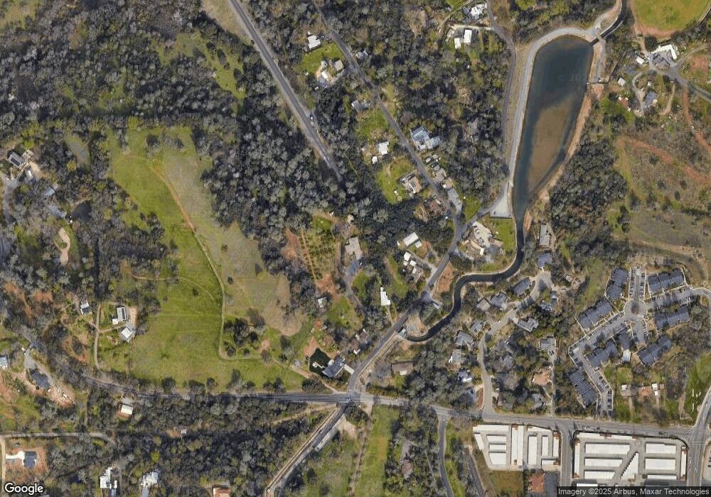
Map
Nearby Homes
- 7035 Mount Vernon Rd
- 11853 Mount Vernon Rd
- 55 Neils
- 0 Atwood Rd Unit 225057955
- 831 Auburn Ravine Rd
- 1240 Live Oak Ln
- 760 Dorothy Way Unit 11
- 63 Goldenrod Ave
- 1257 Live Oak Ln
- 23 Larkspur Ave
- 110 Marigold Ave
- 99 Marigold Ave
- 9 Lily Ave
- 280 Fulweiler Ave
- 101 Marigold Ave
- 119 Marigold Ave
- 266 Swenson Ct
- 132 Lily Ave
- 0 Dairy Rd
- 278 Swenson Ct
- 1065 Merry Knoll Rd
- 1115 Merry Knoll Rd
- 1145 Merry Knoll Rd
- 1155 Merry Knoll Rd
- 1045 Merry Knoll Rd
- 1185 Merry Knoll Rd
- 1025 Merry Knoll Rd
- 1140 Merry Knoll Rd
- 1130 Merry Knoll Rd
- 1150 Merry Knoll Rd
- 0 Merry Knoll Rd
- 1170 Merry Knoll Rd
- 11693 Mount Vernon Rd
- 1190 Merry Knoll Rd
- 1235 Grove Ct
- 1245 Grove Ct
- 1255 Grove Ct
- 1225 Grove Ct
- 1215 Merry Knoll Rd
- 1265 Grove Ct