1055 Mixer Rd Hastings, MI 49058
Estimated Value: $237,000 - $291,000
2
Beds
1
Bath
1,092
Sq Ft
$247/Sq Ft
Est. Value
About This Home
This home is located at 1055 Mixer Rd, Hastings, MI 49058 and is currently estimated at $269,628, approximately $246 per square foot. 1055 Mixer Rd is a home located in Barry County with nearby schools including Hastings High School, Barry County Christian School, and St. Rose of Lima School.
Ownership History
Date
Name
Owned For
Owner Type
Purchase Details
Closed on
May 2, 2018
Sold by
Goostray Paul L and Goostray Georgia R
Bought by
Goostray Paul L and Goostray Georgia R
Current Estimated Value
Purchase Details
Closed on
Sep 14, 2007
Sold by
Hammond Thomas R and Hammond Diane
Bought by
Goostrey Paul L and Goostrey Georgia R
Home Financials for this Owner
Home Financials are based on the most recent Mortgage that was taken out on this home.
Original Mortgage
$60,000
Interest Rate
6.71%
Mortgage Type
Purchase Money Mortgage
Create a Home Valuation Report for This Property
The Home Valuation Report is an in-depth analysis detailing your home's value as well as a comparison with similar homes in the area
Home Values in the Area
Average Home Value in this Area
Purchase History
| Date | Buyer | Sale Price | Title Company |
|---|---|---|---|
| Goostray Paul L | -- | None Available | |
| Goostrey Paul L | -- | None Available | |
| Goostrey Paul L | $90,000 | Metropolitan Title Company |
Source: Public Records
Mortgage History
| Date | Status | Borrower | Loan Amount |
|---|---|---|---|
| Closed | Goostrey Paul L | $60,000 |
Source: Public Records
Tax History Compared to Growth
Tax History
| Year | Tax Paid | Tax Assessment Tax Assessment Total Assessment is a certain percentage of the fair market value that is determined by local assessors to be the total taxable value of land and additions on the property. | Land | Improvement |
|---|---|---|---|---|
| 2025 | $1,930 | $151,300 | $0 | $0 |
| 2024 | $1,930 | $135,600 | $0 | $0 |
| 2023 | $981 | $97,800 | $0 | $0 |
| 2022 | $981 | $97,800 | $0 | $0 |
| 2021 | $981 | $97,000 | $0 | $0 |
| 2020 | $981 | $61,200 | $0 | $0 |
| 2019 | $981 | $57,900 | $0 | $0 |
| 2018 | $0 | $48,000 | $8,300 | $39,700 |
| 2017 | $0 | $48,800 | $0 | $0 |
| 2016 | -- | $40,800 | $0 | $0 |
| 2015 | -- | $37,200 | $0 | $0 |
| 2014 | -- | $37,200 | $0 | $0 |
Source: Public Records
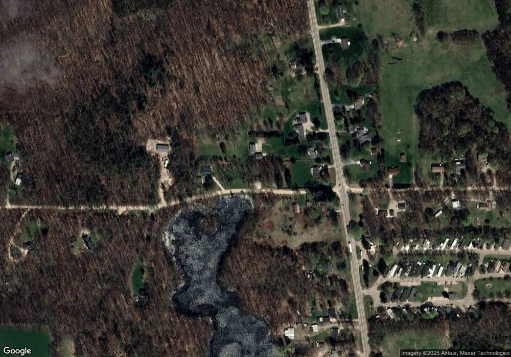
Map
Nearby Homes
- 6120 S M 37 Hwy
- 3275 S M 37 Hwy
- 0 Michigan 79 Unit 25022518
- V/L Michigan 79
- 0 Hickory Hill Ln Unit 25038602
- 3103 Roush Rd
- 641 W Quimby Rd
- 1625 Secluded Acres Dr
- 1810 W Brogan Rd
- 2101 Maple Ln
- 3261 River Ln
- 1673 Nashville Rd
- 1634 Lavender Dr
- 916 Wintergreen Dr
- Parc D Sager Rd
- V/L 3131 Shultz Rd
- Parcel B Maple Grove Rd
- Parc C Pokey Dr
- 2880 E Cloverdale Rd
- 236 W Nelson St
- 963 Mixer Rd
- 958 Mixer Rd
- 4846 S M 37 Hwy
- 4784 S M 37 Hwy
- 4808 S M 37 Hwy
- 4738 S M 37 Hwy
- 4880 S M 37 Hwy
- 880 Mixer Rd
- 4738 Michigan 37
- 4702 S M 37 Hwy
- 4924 S M 37 Hwy
- 4845 S M 37 Hwy
- 4787 S M 37 Hwy
- 4755 S M 37 Hwy
- 4685 Michigan 37
- 1221 Mixer Rd
- 4727 S M 37 Hwy
- 812 Mixer Rd
- 4976 S M 37 Hwy
- 785 Mixer Rd