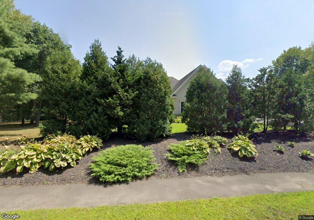
1055 New Britain Ave Farmington, CT 06032
Estimated Value: $830,000 - $950,000
5
Beds
4
Baths
3,675
Sq Ft
$244/Sq Ft
Est. Value
About This Home
This home is located at 1055 New Britain Ave, Farmington, CT 06032 and is currently estimated at $896,959, approximately $244 per square foot. 1055 New Britain Ave is a home located in Hartford County with nearby schools including West Woods Upper Elementary School, Irving A. Robbins Middle School, and Farmington High School.
Ownership History
Date
Name
Owned For
Owner Type
Purchase Details
Closed on
Dec 9, 2009
Sold by
Hooper Charles L
Bought by
Hooper Margaret G
Current Estimated Value
Purchase Details
Closed on
Dec 22, 2006
Sold by
Swingle Robert P and Swingle Diane
Bought by
Lipinski Stanislaw and Lipinski Krystyna
Home Financials for this Owner
Home Financials are based on the most recent Mortgage that was taken out on this home.
Original Mortgage
$180,000
Interest Rate
7.37%
Create a Home Valuation Report for This Property
The Home Valuation Report is an in-depth analysis detailing your home's value as well as a comparison with similar homes in the area
Home Values in the Area
Average Home Value in this Area
Purchase History
| Date | Buyer | Sale Price | Title Company |
|---|---|---|---|
| Hooper Margaret G | -- | -- | |
| Lipinski Stanislaw | $225,000 | -- |
Source: Public Records
Mortgage History
| Date | Status | Borrower | Loan Amount |
|---|---|---|---|
| Previous Owner | Lipinski Stanislaw | $180,000 |
Source: Public Records
Tax History Compared to Growth
Tax History
| Year | Tax Paid | Tax Assessment Tax Assessment Total Assessment is a certain percentage of the fair market value that is determined by local assessors to be the total taxable value of land and additions on the property. | Land | Improvement |
|---|---|---|---|---|
| 2025 | $13,646 | $512,610 | $83,090 | $429,520 |
| 2024 | $13,046 | $512,610 | $83,090 | $429,520 |
| 2023 | $12,410 | $512,610 | $83,090 | $429,520 |
| 2022 | $11,769 | $401,390 | $73,110 | $328,280 |
| 2021 | $11,564 | $401,390 | $73,110 | $328,280 |
| 2020 | $11,227 | $401,390 | $73,110 | $328,280 |
| 2019 | $11,227 | $401,390 | $73,110 | $328,280 |
| 2018 | $10,910 | $401,390 | $73,110 | $328,280 |
| 2017 | $11,056 | $414,400 | $79,700 | $334,700 |
| 2016 | $10,683 | $414,400 | $79,700 | $334,700 |
| 2015 | $10,364 | $414,400 | $79,700 | $334,700 |
| 2014 | $10,129 | $414,440 | $79,730 | $334,710 |
Source: Public Records
Map
Nearby Homes
- 4 Locust Ln
- 9 Meadow Ln
- 5 Rocky Ridge Ln
- 11 Locust Ln
- 20 Farm Dr
- 6 Cypress Trail
- 67 Mallard Dr
- 4 Grandview Dr Unit 49A
- 20 Greenbriar Dr Unit H
- 5 Mallard Dr
- 6 Le Jardin Way
- 5 Le Jardin Way
- 11 Wildcat Dr
- 1 Sable Ct
- 3 Essex Ct
- 14 Springwood Rd
- 9 Pearl St
- 267 New Britain Ave
- 1622 Farmington Ave Unit 4
- 243 New Britain Ave Unit 243
- 1051 New Britain Ave
- 1061 New Britain Ave
- 100 Red Oak Hill Rd
- 90 Red Oak Hill Rd
- 103 Red Oak Hill Rd
- 106 Red Oak Hill Rd
- 33 Penfield Place
- 114 Red Oak Hill Rd
- 35 Penfield Place
- 1015 New Britain Ave
- 29 Penfield Place
- 39 Penfield Place
- 1005 New Britain Ave
- 25 Penfield Place
- 1091 New Britain Ave
- 107 Red Oak Hill Rd
- 21 Penfield Place
- 997 New Britain Ave
- 1096 New Britain Ave
- 32 Penfield Place