1055 State Route 31 Oswego, IL 60543
Northwest Oswego NeighborhoodEstimated Value: $396,684 - $690,000
3
Beds
2
Baths
2,500
Sq Ft
$194/Sq Ft
Est. Value
About This Home
This home is located at 1055 State Route 31, Oswego, IL 60543 and is currently estimated at $485,171, approximately $194 per square foot. 1055 State Route 31 is a home located in Kendall County with nearby schools including Fox Chase Elementary School, Traughber Junior High School, and Oswego High School.
Ownership History
Date
Name
Owned For
Owner Type
Purchase Details
Closed on
Jun 21, 2011
Sold by
Durham Linda J
Bought by
Utility Dynamics Corporation
Current Estimated Value
Purchase Details
Closed on
Feb 1, 1990
Bought by
Burnell Wilson D and Burnell Alyce S
Create a Home Valuation Report for This Property
The Home Valuation Report is an in-depth analysis detailing your home's value as well as a comparison with similar homes in the area
Home Values in the Area
Average Home Value in this Area
Purchase History
| Date | Buyer | Sale Price | Title Company |
|---|---|---|---|
| Utility Dynamics Corporation | $345,000 | None Available | |
| Burnell Wilson D | $2,000 | -- | |
| Burnell Wilson D | $4,500 | -- |
Source: Public Records
Mortgage History
| Date | Status | Borrower | Loan Amount |
|---|---|---|---|
| Closed | Burnell Wilson D | -- |
Source: Public Records
Tax History Compared to Growth
Tax History
| Year | Tax Paid | Tax Assessment Tax Assessment Total Assessment is a certain percentage of the fair market value that is determined by local assessors to be the total taxable value of land and additions on the property. | Land | Improvement |
|---|---|---|---|---|
| 2024 | $8,219 | $103,836 | $16,415 | $87,421 |
| 2023 | $9,213 | $103,776 | $16,355 | $87,421 |
| 2022 | $9,213 | $103,716 | $16,295 | $87,421 |
| 2021 | $8,922 | $96,911 | $15,209 | $81,702 |
| 2020 | $8,745 | $94,050 | $14,728 | $79,322 |
| 2019 | $8,881 | $94,010 | $14,688 | $79,322 |
| 2018 | $9,133 | $93,438 | $14,558 | $78,880 |
| 2017 | $9,070 | $89,824 | $13,978 | $75,846 |
| 2016 | $8,722 | $85,114 | $13,222 | $71,892 |
| 2015 | $8,553 | $79,539 | $12,350 | $67,189 |
| 2014 | -- | $76,307 | $11,702 | $64,605 |
| 2013 | -- | $77,078 | $11,820 | $65,258 |
Source: Public Records
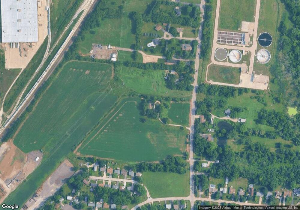
Map
Nearby Homes
- 5.43 B-3 Commercial State Route 31
- 7.43 Acres Vacant La State Route 31
- 1026 State Route 25
- 2700 Light Rd Unit 205
- Parcel 004 & 003 Illinois 25
- 101 Augusta Rd
- 102 Mary St
- 40 Ashlawn Ave
- 36 Circle Dr E
- 133 River Mist Dr Unit 3
- 135 River Mist Dr Unit 2
- 164 River Mist Dr
- 140 River Mist Dr Unit 1
- 17 Knollwood Dr Unit 3
- 156 River Mist Dr
- 5 Woodridge Rd
- 47 Briarcliff Rd
- 4 Crestwood Ct
- 16 Brockway Dr
- 22 Marnel Rd
- 1055 State Route 31
- 977 State Route 31
- 1030 State Route 31
- 975 State Route 31
- 975 State Route 31
- 975 State Route 31
- 951B State Route 31
- 951 State Route 31 Unit B
- 951 State Route 31 Unit D
- 951 State Route 31
- 951 State Route 31 Unit C
- 6 Marlin Dr
- 1056 State Route 31
- 8 Marlin Dr
- 10 Marlin Dr
- 14 Marlin Dr
- 16 Marlin Dr
- 1006 State Route 31
- 1120 State Route 31
- 18 Marlin Dr