1055 Tammy Cir New Concord, OH 43762
Estimated Value: $252,000 - $462,000
4
Beds
3
Baths
2,712
Sq Ft
$126/Sq Ft
Est. Value
About This Home
This home is located at 1055 Tammy Cir, New Concord, OH 43762 and is currently estimated at $340,569, approximately $125 per square foot. 1055 Tammy Cir is a home located in Muskingum County with nearby schools including New Concord Elementary School, East Muskingum Middle School, and Larry Miller Intermediate Elementary School.
Ownership History
Date
Name
Owned For
Owner Type
Purchase Details
Closed on
Sep 16, 1996
Sold by
Brown Gary C
Bought by
Williamson Shannon D
Current Estimated Value
Home Financials for this Owner
Home Financials are based on the most recent Mortgage that was taken out on this home.
Original Mortgage
$52,915
Outstanding Balance
$4,580
Interest Rate
8.29%
Mortgage Type
New Conventional
Estimated Equity
$335,989
Create a Home Valuation Report for This Property
The Home Valuation Report is an in-depth analysis detailing your home's value as well as a comparison with similar homes in the area
Home Values in the Area
Average Home Value in this Area
Purchase History
| Date | Buyer | Sale Price | Title Company |
|---|---|---|---|
| Williamson Shannon D | $50,000 | -- |
Source: Public Records
Mortgage History
| Date | Status | Borrower | Loan Amount |
|---|---|---|---|
| Open | Williamson Shannon D | $52,915 |
Source: Public Records
Tax History Compared to Growth
Tax History
| Year | Tax Paid | Tax Assessment Tax Assessment Total Assessment is a certain percentage of the fair market value that is determined by local assessors to be the total taxable value of land and additions on the property. | Land | Improvement |
|---|---|---|---|---|
| 2024 | $2,507 | $75,530 | $7,875 | $67,655 |
| 2023 | $2,167 | $60,970 | $3,640 | $57,330 |
| 2022 | $2,122 | $60,970 | $3,640 | $57,330 |
| 2021 | $2,096 | $60,970 | $3,640 | $57,330 |
| 2020 | $1,803 | $50,785 | $3,010 | $47,775 |
| 2019 | $1,794 | $50,785 | $3,010 | $47,775 |
| 2018 | $1,833 | $50,785 | $3,010 | $47,775 |
| 2017 | $1,562 | $41,965 | $3,010 | $38,955 |
| 2016 | $1,564 | $41,970 | $3,010 | $38,960 |
| 2015 | $1,600 | $41,970 | $3,010 | $38,960 |
| 2013 | $1,695 | $41,970 | $3,010 | $38,960 |
Source: Public Records
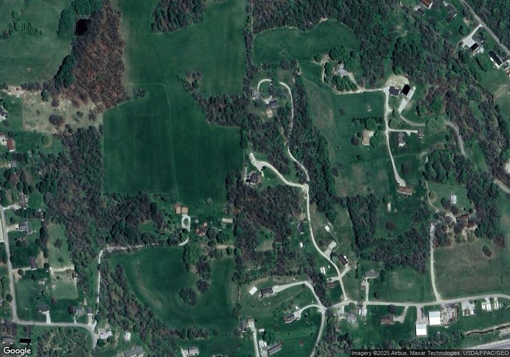
Map
Nearby Homes
- 0 Homestead Dr Unit 11611647
- 0 Homestead Dr Unit 5174212
- 0 Rix Mills Rd
- 760 Friendship Dr
- 112 Thompson Ave
- 154 Montgomery Blvd
- 0 Maple Ln
- 8 E Main St
- 12985 John Glenn School Rd
- 485 Ash Cir
- 67 E Main St
- 10545 Main St
- 60936 Patch Rd
- 1420 Glenn Hwy
- 100 Linvale Dr
- 0 Norfield Unit 5174011
- 0 Norfield Unit 5173946
- 515 Norwich Valley Rd
- Lot 18 & 19 Greenbriar Dr
- 61220 Kadon Dr
- 180 Fox Creek Rd
- 1080 Tammy Cir
- 1030 Tammy Cir
- 1000 Tammy Cir
- 12195 Tavenner Blvd
- 12340 Mckinley Dr
- 12115 Tavenner Blvd
- 12175 Tavenner Blvd
- 12165 Tavenner Blvd
- 12345 Mckinley Dr
- 12129 Tavenner Blvd
- 12300 Tavenner Blvd
- 12330 Mckinley Dr
- 12320 Mckinley Dr
- 12125 Tavenner Blvd
- 12305 Tavenner Blvd
- 12085 Tavenner Blvd
- 12095 Tavenner Blvd
- 130 Fox Creek Rd
- 130 Fox Creek Rd Unit RS