Estimated Value: $232,000 - $253,246
Studio
1
Bath
1,565
Sq Ft
$153/Sq Ft
Est. Value
About This Home
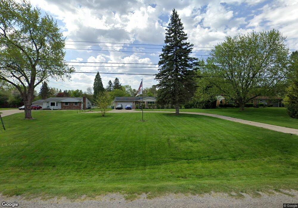
This home is located at 1055 W Maple Ave, Flint, MI 48507 and is currently estimated at $239,062, approximately $152 per square foot. 1055 W Maple Ave is a home located in Genesee County with nearby schools including Anderson Elementary School, McGrath Elementary School, and Grand Blanc West Middle School.
Ownership History
Date
Name
Owned For
Owner Type
Purchase Details
Closed on
Sep 27, 2007
Sold by
Castles Brian E and Castles Kimberly S
Bought by
Miller Randy and Miller Rochel
Current Estimated Value
Create a Home Valuation Report for This Property
The Home Valuation Report is an in-depth analysis detailing your home's value as well as a comparison with similar homes in the area
Home Values in the Area
Average Home Value in this Area
Purchase History
| Date | Buyer | Sale Price | Title Company |
|---|---|---|---|
| Miller Randy | $157,000 | Greco Title | |
| Miller Randy | $157,000 | Greco Title |
Source: Public Records
Tax History
| Year | Tax Paid | Tax Assessment Tax Assessment Total Assessment is a certain percentage of the fair market value that is determined by local assessors to be the total taxable value of land and additions on the property. | Land | Improvement |
|---|---|---|---|---|
| 2025 | $2,872 | $134,500 | $0 | $0 |
| 2024 | $1,758 | $125,400 | $0 | $0 |
| 2023 | $1,677 | $112,100 | $0 | $0 |
| 2022 | $2,544 | $101,700 | $0 | $0 |
| 2021 | $2,503 | $96,100 | $0 | $0 |
| 2020 | $1,547 | $90,300 | $0 | $0 |
| 2019 | $1,524 | $85,300 | $0 | $0 |
| 2018 | $2,301 | $77,200 | $0 | $0 |
| 2017 | $2,198 | $76,200 | $0 | $0 |
| 2016 | $2,179 | $71,600 | $0 | $0 |
| 2015 | $1,944 | $61,100 | $0 | $0 |
| 2014 | $1,329 | $58,100 | $0 | $0 |
| 2012 | -- | $53,400 | $53,400 | $0 |
Source: Public Records
Map
Nearby Homes
- 4460 Bristolwood Dr
- 1256 W Rowland St
- 1203 Pickwick Place
- 4444 Carmanwood Dr
- 1111 Trotwood Ln
- 00 Coolidge Dr
- 000 Coolidge Dr
- 1142 Leisure Dr
- 0000 Coolidge Dr
- 4418 Ashlawn Dr
- 0000 Mckinley Blvd
- 00 Mckinley Blvd
- 000 Mckinley Blvd
- 1063 Lincoln Dr
- 1051 W Mclean Ave
- 1111 W Mclean Ave
- 1380 Sunset Blvd
- 1097 W Buder Ave
- 1408 Williamsburg Rd
- 1110 Washington Dr
- 1045 W Maple Ave
- 1067 W Maple Ave
- 1077 W Maple Ave
- 1093 W Maple Ave
- 4513 Saint Martins Dr
- 1056 W Rowland St
- 4503 Saint Martins Dr
- 1068 W Rowland St
- 1044 W Rowland St Unit Bldg-Unit
- 5034 Fenton Rd
- 5046 Fenton Rd
- 1082 W Rowland St
- 4495 Saint Martins Dr
- 1105 W Maple Ave
- 1087 Highgate Dr
- 5058 Fenton Rd
- 1090 W Rowland St
- 1097 Highgate Dr
- 4485 Saint Martins Dr
- 1030 W Rowland St
Your Personal Tour Guide
Ask me questions while you tour the home.