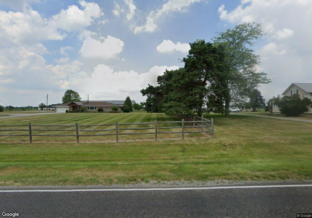
10552 County Rd E Wauseon, OH 43567
Estimated Value: $544,000
3
Beds
3
Baths
2,745
Sq Ft
$198/Sq Ft
Est. Value
About This Home
This home is located at 10552 County Rd E, Wauseon, OH 43567 and is currently estimated at $544,000, approximately $198 per square foot. 10552 County Rd E is a home located in Fulton County with nearby schools including Delta Elementary School, Pike-Delta-York Middle School, and Pike-Delta-York High School.
Ownership History
Date
Name
Owned For
Owner Type
Purchase Details
Closed on
Jun 4, 2004
Sold by
First Federal Bank Of The Midwest
Bought by
Ward Thomas R and Ward Britney L
Current Estimated Value
Home Financials for this Owner
Home Financials are based on the most recent Mortgage that was taken out on this home.
Original Mortgage
$236,050
Outstanding Balance
$114,475
Interest Rate
5.99%
Mortgage Type
Purchase Money Mortgage
Estimated Equity
$429,525
Purchase Details
Closed on
Aug 16, 1999
Sold by
Jennewine David M
Bought by
Brock Kenneth R and Brock Melissa K
Purchase Details
Closed on
Jan 1, 1990
Bought by
Jennewine David - Ruby
Create a Home Valuation Report for This Property
The Home Valuation Report is an in-depth analysis detailing your home's value as well as a comparison with similar homes in the area
Purchase History
| Date | Buyer | Sale Price | Title Company |
|---|---|---|---|
| Ward Thomas R | $241,000 | -- | |
| Brock Kenneth R | $255,000 | -- | |
| Jennewine David - Ruby | -- | -- |
Source: Public Records
Mortgage History
| Date | Status | Borrower | Loan Amount |
|---|---|---|---|
| Open | Ward Thomas R | $236,050 |
Source: Public Records
Map
Nearby Homes
- 11470 County Rd E
- 7373 County Road 12
- 1066 Seneca Dr
- 1062 Seneca Dr
- Integrity 1830 Plan at Arrowhead Trails
- Integrity 2080 Plan at Arrowhead Trails
- 1171 Apache Dr
- 840 Pine St
- 13242 Us Highway 20a
- 760 Airport Hwy
- 302 Adrian St
- 351 E Walnut St
- 207 Wood St
- 308 Monroe St
- 518 Providence St
- 203 E Oak St
- 305 Mckinley St
- 622 Vine St
- 833 3rd St
- 234 W Chestnut St
- 10512 County Road E
- 10512 County Rd E
- 10418 County Road E
- 10487 County Rd E
- 10483 County Road E
- 10728 County Road E
- 10774 County Road N Unit 10-2
- 10775 County Road E
- 4880 County Road 10 2
- 5423 County Road 10
- 5232 County Road 11
- 10912 County Road N Unit 10-2
- 10924 County Road N Unit 7-1
- 10928 County Road N Unit 10-2
- 10930 County Road E Unit 10-2
- 10977 County Road N Unit 8-2
- 10998 County Road N Unit 10-2
- 10056 County Road E Unit 18-1
- 11 County Road F
- 5720 County Road 11
Your Personal Tour Guide
Ask me questions while you tour the home.