10557 Foster St Overland Park, KS 66212
Central Overland Park NeighborhoodEstimated Value: $256,000 - $282,000
3
Beds
3
Baths
1,760
Sq Ft
$152/Sq Ft
Est. Value
About This Home
This home is located at 10557 Foster St, Overland Park, KS 66212 and is currently estimated at $267,618, approximately $152 per square foot. 10557 Foster St is a home located in Johnson County with nearby schools including Brookridge Elementary School, Shawnee Mission South High School, and Indian Woods Middle School.
Ownership History
Date
Name
Owned For
Owner Type
Purchase Details
Closed on
Mar 8, 2006
Sold by
Jones Jean E
Bought by
Jones Jean E and Jones Kelli J
Current Estimated Value
Home Financials for this Owner
Home Financials are based on the most recent Mortgage that was taken out on this home.
Original Mortgage
$106,000
Outstanding Balance
$60,048
Interest Rate
6.21%
Mortgage Type
New Conventional
Estimated Equity
$207,570
Create a Home Valuation Report for This Property
The Home Valuation Report is an in-depth analysis detailing your home's value as well as a comparison with similar homes in the area
Home Values in the Area
Average Home Value in this Area
Purchase History
| Date | Buyer | Sale Price | Title Company |
|---|---|---|---|
| Jones Jean E | -- | All American Title Company |
Source: Public Records
Mortgage History
| Date | Status | Borrower | Loan Amount |
|---|---|---|---|
| Open | Jones Jean E | $106,000 |
Source: Public Records
Tax History Compared to Growth
Tax History
| Year | Tax Paid | Tax Assessment Tax Assessment Total Assessment is a certain percentage of the fair market value that is determined by local assessors to be the total taxable value of land and additions on the property. | Land | Improvement |
|---|---|---|---|---|
| 2024 | $2,123 | $22,633 | $4,336 | $18,297 |
| 2023 | $2,120 | $21,920 | $4,336 | $17,584 |
| 2022 | $1,784 | $18,642 | $3,335 | $15,307 |
| 2021 | $1,716 | $16,848 | $3,335 | $13,513 |
| 2020 | $1,469 | $14,467 | $2,777 | $11,690 |
| 2019 | $1,510 | $14,881 | $2,777 | $12,104 |
| 2018 | $1,424 | $13,984 | $2,777 | $11,207 |
| 2017 | $1,439 | $13,915 | $2,415 | $11,500 |
| 2016 | $1,441 | $13,708 | $2,415 | $11,293 |
| 2015 | $1,463 | $14,214 | $2,415 | $11,799 |
| 2013 | -- | $11,857 | $2,415 | $9,442 |
Source: Public Records
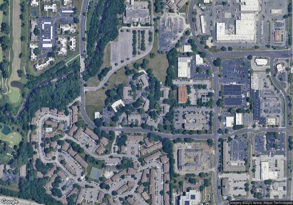
Map
Nearby Homes
- 7402 W 102nd Ct
- 7433 W 102nd Ct
- 10209 Foster St
- 8000 W 101st St
- 10227 Oakridge Cir
- 8517 W 109th Terrace
- 8726 W 104th St
- 10246 Russell St
- 9911 Floyd St
- 8201 W 100th Terrace
- 11309 Riley St
- 8011 W 113th St
- 8019 W 113th St
- 9766 Craig Dr
- 8108 W 98th Terrace
- 6018 W 102nd St
- 9849 Glenwood St
- 11436 Conser St
- 10223 Dearborn Dr
- 9712 Craig Dr
- 10559 Foster St
- 10555 Foster St
- 10563 Foster St
- 10565 Foster St
- 10569 Foster St
- 10571 Foster St
- 10573 Foster St
- 10585 Riley St
- 10561 Riley St
- 10575 Foster St
- 10583 Riley St
- 10579 Riley St
- 10555 Riley St
- 10565 Riley St
- 10581 Riley St
- 10567 Riley St
- 10569 Riley St
- 10553 Riley St
- 10573 Riley St
- 10571 Riley St