1056 E Bertram Rd Mount Vernon, IA 52314
Estimated Value: $630,000 - $916,669
5
Beds
3
Baths
3,809
Sq Ft
$207/Sq Ft
Est. Value
About This Home
This home is located at 1056 E Bertram Rd, Mount Vernon, IA 52314 and is currently estimated at $786,890, approximately $206 per square foot. 1056 E Bertram Rd is a home located in Linn County with nearby schools including Washington Elementary School, Mount Vernon Middle School, and Mount Vernon High School.
Ownership History
Date
Name
Owned For
Owner Type
Purchase Details
Closed on
Aug 4, 2025
Sold by
Darrel A Morf Revocable Trust and Morf Middie M
Bought by
Mildred Middie M Morf Revocable Trust and Morf
Current Estimated Value
Purchase Details
Closed on
Aug 1, 2017
Sold by
Morf Darrel A and Morf Mildred M
Bought by
Morf Darrel A and Morf Mildred M
Create a Home Valuation Report for This Property
The Home Valuation Report is an in-depth analysis detailing your home's value as well as a comparison with similar homes in the area
Home Values in the Area
Average Home Value in this Area
Purchase History
| Date | Buyer | Sale Price | Title Company |
|---|---|---|---|
| Mildred Middie M Morf Revocable Trust | -- | None Listed On Document | |
| Morf Darrel A | -- | None Available |
Source: Public Records
Tax History Compared to Growth
Tax History
| Year | Tax Paid | Tax Assessment Tax Assessment Total Assessment is a certain percentage of the fair market value that is determined by local assessors to be the total taxable value of land and additions on the property. | Land | Improvement |
|---|---|---|---|---|
| 2025 | $8,620 | $708,900 | $117,000 | $591,900 |
| 2024 | $6,900 | $670,000 | $117,000 | $553,000 |
| 2023 | $6,900 | $670,000 | $117,000 | $553,000 |
| 2022 | $6,748 | $450,200 | $117,000 | $333,200 |
| 2021 | $6,354 | $450,200 | $117,000 | $333,200 |
| 2020 | $6,354 | $394,900 | $69,200 | $325,700 |
| 2019 | $6,042 | $372,100 | $69,200 | $302,900 |
| 2018 | $5,904 | $372,100 | $69,200 | $302,900 |
| 2017 | $5,650 | $345,400 | $69,200 | $276,200 |
| 2016 | $5,355 | $326,600 | $69,200 | $257,400 |
| 2015 | $5,351 | $326,600 | $69,200 | $257,400 |
| 2014 | $5,208 | $326,600 | $69,200 | $257,400 |
| 2013 | $5,024 | $326,600 | $69,200 | $257,400 |
Source: Public Records
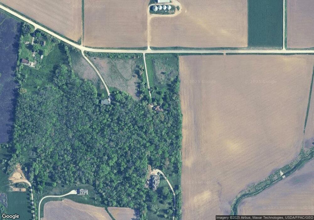
Map
Nearby Homes
- Lot 1E Holmans Rd
- Lot 2E Holmans Rd
- Lot 2W Holmans Rd
- 898 Henik Rd
- 835 17th Ave SW
- 715 17th Ave SW
- 665 17th Ave SW
- 680 17th Ave SW
- 750 17th Ave SW
- 610 17th Ave SW
- 660 17th Ave SW
- 640 17th Ave SW
- 615 17th Ave SW
- 780 17th Ave SW
- 725 17th Ave SW
- 605 17th Ave SW
- 670 17th Ave SW
- 770 17th Ave SW
- 620 17th Ave SW
- 655 17th Ave SW
- 1070 E Bertram Rd
- 1049 Highway 30 W
- 1097 Highway 30 W
- 1098 E Bertram Rd
- 1101 U S 30
- 1011 E Bertram Rd
- 1117 Highway 30 W
- 967 E Bertram Rd
- 1082 Highway 30 W
- 1209 U S 30
- 1146 Highway 30 W
- 874 Irish Ln
- 943 Highway 30 W Unit 7-9
- 943 Highway 30 W Unit 1
- 943 Highway 30 W Unit 5
- 943 Highway 30 W Unit 2
- 993 Cedar Ct
- 1223 Highway 30 W
- 730 Wilcox Rd
- 990 Irish Ln