1056 Fallaw Rd Gaston, SC 29053
Estimated Value: $193,000 - $238,000
3
Beds
2
Baths
1,736
Sq Ft
$126/Sq Ft
Est. Value
About This Home
This home is located at 1056 Fallaw Rd, Gaston, SC 29053 and is currently estimated at $217,931, approximately $125 per square foot. 1056 Fallaw Rd is a home located in Lexington County with nearby schools including Sandhills Primary School, Sandhills Elementary School, and Sandhills Middle School.
Ownership History
Date
Name
Owned For
Owner Type
Purchase Details
Closed on
Sep 10, 2022
Sold by
Dita Catherine W
Bought by
Keller Tammy
Current Estimated Value
Home Financials for this Owner
Home Financials are based on the most recent Mortgage that was taken out on this home.
Original Mortgage
$110,000
Outstanding Balance
$104,470
Interest Rate
5.22%
Mortgage Type
New Conventional
Estimated Equity
$113,461
Purchase Details
Closed on
Apr 22, 2021
Sold by
Hopkins Jennifer
Bought by
Dita Catherine W
Home Financials for this Owner
Home Financials are based on the most recent Mortgage that was taken out on this home.
Original Mortgage
$127,546
Interest Rate
2.98%
Mortgage Type
FHA
Purchase Details
Closed on
Feb 17, 2010
Sold by
Hopkins Christopher
Bought by
Hopkins Jennifer
Purchase Details
Closed on
Oct 17, 2005
Sold by
Rural Land Development Llc
Bought by
Hopkins Christopher and Hopkins Jennifer
Purchase Details
Closed on
Apr 14, 2005
Sold by
Foster Clifton and Prochaska Crystal U
Bought by
Us Bank Na and Bank One
Create a Home Valuation Report for This Property
The Home Valuation Report is an in-depth analysis detailing your home's value as well as a comparison with similar homes in the area
Home Values in the Area
Average Home Value in this Area
Purchase History
We collect this data history from publicly available records. To have your information removed, we recommend requesting removal directly through your county’s website.
| Date | Buyer | Sale Price | Title Company |
|---|---|---|---|
| Keller Tammy | $165,000 | None Listed On Document | |
| Dita Catherine W | $129,900 | Southeastern Title Company | |
| Hopkins Jennifer | -- | -- | |
| Hopkins Christopher | $1,200 | -- | |
| Us Bank Na | $20,000 | -- |
Source: Public Records
Mortgage History
We collect this data history from publicly available records. To have your information removed, we recommend requesting removal directly through your county’s website.
| Date | Status | Borrower | Loan Amount |
|---|---|---|---|
| Open | Keller Tammy | $110,000 | |
| Previous Owner | Dita Catherine W | $127,546 | |
| Previous Owner | Dita Catherine W | $127,546 |
Source: Public Records
Tax History
| Year | Tax Paid | Tax Assessment Tax Assessment Total Assessment is a certain percentage of the fair market value that is determined by local assessors to be the total taxable value of land and additions on the property. | Land | Improvement |
|---|---|---|---|---|
| 2024 | $607 | $6,600 | $548 | $6,052 |
| 2023 | $601 | $7,450 | $548 | $6,902 |
| 2022 | $3,181 | $7,450 | $548 | $6,902 |
| 2020 | $365 | $786 | $618 | $168 |
| 2019 | $378 | $786 | $618 | $168 |
| 2018 | $366 | $786 | $618 | $168 |
| 2017 | $360 | $786 | $618 | $168 |
| 2016 | $327 | $786 | $618 | $168 |
| 2014 | $310 | $735 | $615 | $120 |
| 2013 | -- | $740 | $620 | $120 |
Source: Public Records
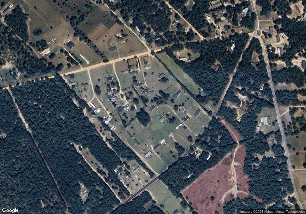
Map
Nearby Homes
- 0 Fallaw Rd
- 124 Boggy Branch Ct
- 224 Glencrest Dr
- 429 Fallaw Rd
- 148 Glencrest Dr
- 320 Fallaw Rd
- 436 Forestbrook Ct
- 1115 S Highway 6
- 423 Olive Grouse Ln
- 418 Olive Grouse Ln
- 422 Olive Grouse Ln
- 427 Olive Grouse Ln
- 315 Silver Spur Way
- 410 Olive Grouse Ln
- 405 Olive Grouse Ln
- 409 Olive Grouse Ln
- 318 Silver Spur Way
- 302 Silver Spur Way
- 0 Southbound Rd
- 0 Meadowfield Rd Unit 585500
Your Personal Tour Guide
Ask me questions while you tour the home.