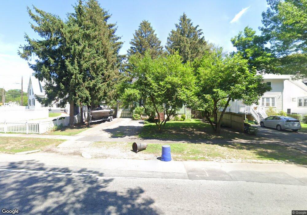
1056 Furnace Brook Pkwy Quincy, MA 02169
South Quincy NeighborhoodEstimated Value: $614,000 - $689,000
3
Beds
2
Baths
1,148
Sq Ft
$573/Sq Ft
Est. Value
About This Home
This home is located at 1056 Furnace Brook Pkwy, Quincy, MA 02169 and is currently estimated at $657,664, approximately $572 per square foot. 1056 Furnace Brook Pkwy is a home located in Norfolk County with nearby schools including South West Middle School, Lincoln-Hancock Community School, and Quincy High School.
Ownership History
Date
Name
Owned For
Owner Type
Purchase Details
Closed on
Sep 12, 1995
Sold by
Slatt Sharon
Bought by
Fitzpatrick Bryan F and Fitzpatrick Deborah J
Current Estimated Value
Create a Home Valuation Report for This Property
The Home Valuation Report is an in-depth analysis detailing your home's value as well as a comparison with similar homes in the area
Home Values in the Area
Average Home Value in this Area
Purchase History
| Date | Buyer | Sale Price | Title Company |
|---|---|---|---|
| Fitzpatrick Bryan F | $155,000 | -- |
Source: Public Records
Mortgage History
| Date | Status | Borrower | Loan Amount |
|---|---|---|---|
| Open | Fitzpatrick Bryan F | $302,000 | |
| Closed | Fitzpatrick Bryan F | $30,000 | |
| Closed | Fitzpatrick Bryan F | $157,600 |
Source: Public Records
Tax History Compared to Growth
Tax History
| Year | Tax Paid | Tax Assessment Tax Assessment Total Assessment is a certain percentage of the fair market value that is determined by local assessors to be the total taxable value of land and additions on the property. | Land | Improvement |
|---|---|---|---|---|
| 2025 | $6,034 | $523,300 | $273,600 | $249,700 |
| 2024 | $5,824 | $516,800 | $260,600 | $256,200 |
| 2023 | $5,415 | $486,500 | $248,200 | $238,300 |
| 2022 | $4,965 | $414,400 | $198,500 | $215,900 |
| 2021 | $4,929 | $406,000 | $198,500 | $207,500 |
| 2020 | $4,762 | $383,100 | $198,500 | $184,600 |
| 2019 | $4,626 | $368,600 | $192,800 | $175,800 |
| 2018 | $4,553 | $341,300 | $178,500 | $162,800 |
| 2017 | $4,500 | $317,600 | $169,900 | $147,700 |
| 2016 | $4,220 | $293,900 | $154,500 | $139,400 |
| 2015 | $3,945 | $270,200 | $145,700 | $124,500 |
| 2014 | $3,933 | $264,700 | $145,700 | $119,000 |
Source: Public Records
Map
Nearby Homes
- 73 Connell St
- 10 White St
- 211 Copeland St
- 66 Unity St
- 41 Wallace Rd
- 1 Cityview Ln Unit 506
- 1 Cityview Ln Unit 210
- 1 Cityview Ln Unit 709
- 1 Cityview Ln Unit 204
- 29 Oconnell Ave
- 25 Carrolls Ln
- 60 Pond St
- 89 Puritan Dr
- 111 Shawmut St
- 11 Rockwell Ave
- 121 Hillside Ave
- 46 Suomi Rd
- 46 Suomi Rd Unit 46
- 64 Shawmut St
- 46-48 Buckley St
- 464 Quarry St
- 1060 Furnace Brook Pkwy
- 460 Quarry St
- 452 Quarry St
- 452 Quarry St Unit 2
- 1064 Furnace Brook Pkwy
- 1068 Furnace Brook Pkwy
- 61 Grogan Ave
- 450 Quarry St
- 65 Grogan Ave
- 461 Quarry St
- 467 Quarry St
- 457 Quarry St
- 41 Grogan Ave
- 1076 Furnace Brook Pkwy
- 54 Grogan Ave
- 484 Quarry St
- 62 Grogan Ave
- 26 Dunmore St
- 66 Grogan Ave